Davidsonville Historic State Park
Davidsonville Historic State Park is in Pocahontas, Arkansas. On April 26, 2026, we had finished with our group Midwest Lone Peak Campers overlanding campout and parted with the group to drive home. We decided to split the driving into two days and find a place to camp for the night. We landed at this state park and had an enjoyable time. It is located at 8047 Hwy. 166 South, Pocahontas, Arkansas and is in the northeast part of the state. We often wish there were more to do in the northeast part of Arkansas because it is not too far from our home in Southeast Missouri, but so far we have not found too much to do in that part of the state.
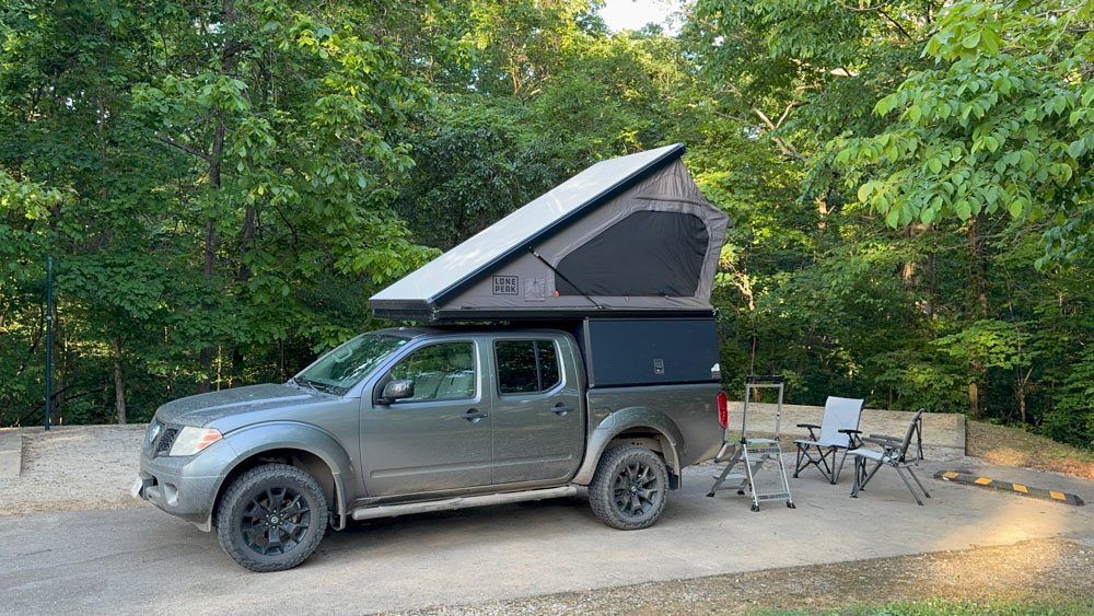
Here is our camper all set up.
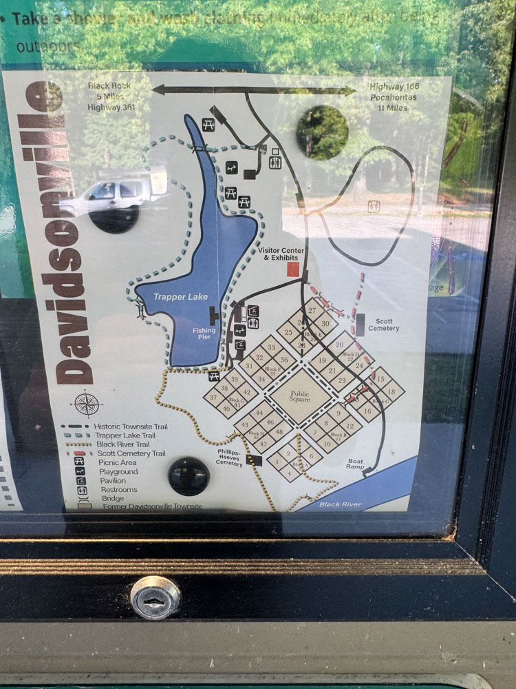
We went first to the building and could not find a way to pay for a site. It was confusing. There were signs at the bathhouse in the campground that said to find a certain place to put our payment in a box, but then we could not find that place until we walked to the lake! We asked another camper and he said that we could pick a site to set up and then pay in the morning, so that was what we went with. We found this map which was helpful. Next to the camping area is a grid and layout of the historic town of Davidsonville, which is no more. At the end of the village is a boat ramp to the Black River.
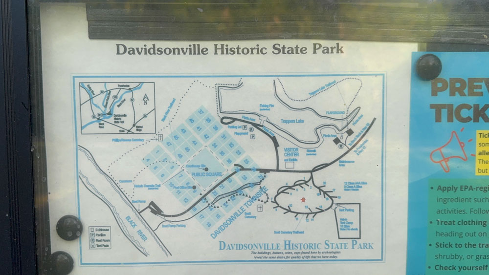
This was another map that we found. You can hit the trails or walk to the lake or walk to the history area all from the campsite, giving you lots of things to do.
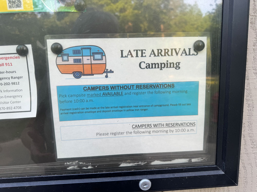
We finally found, after the fact, this sign that said we could pay in the morning.
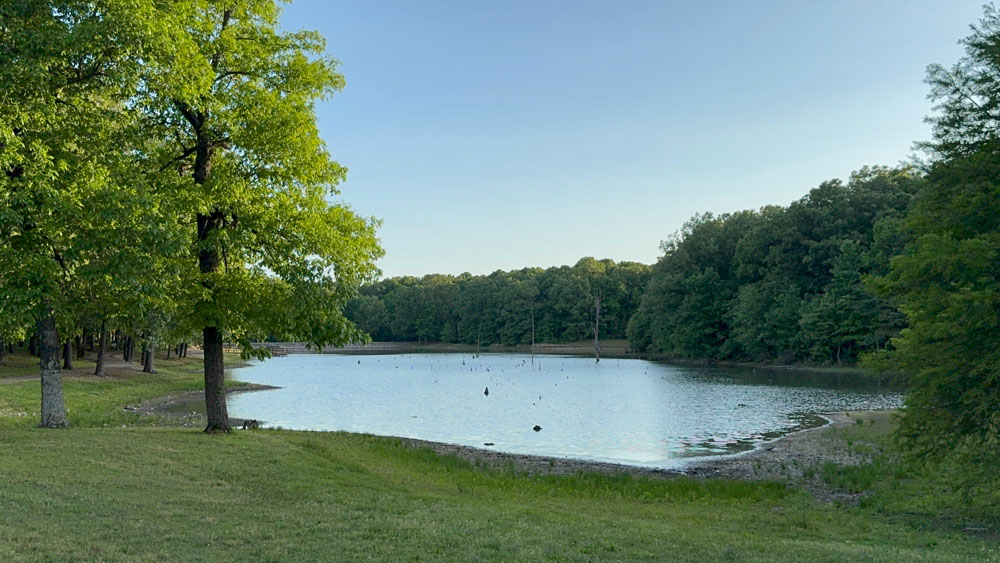
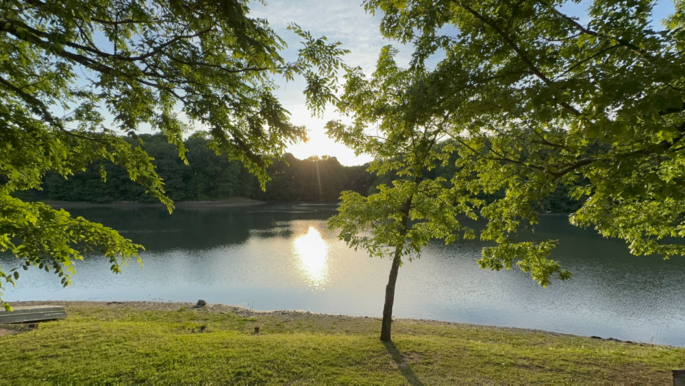
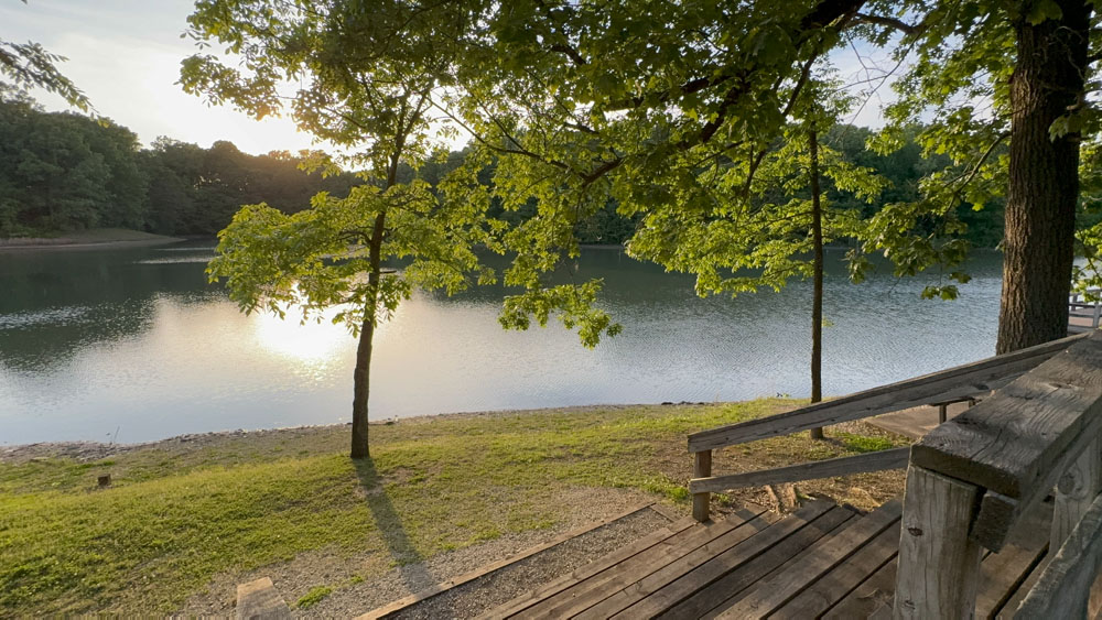
The lake at the state park is called Trappers Lake.
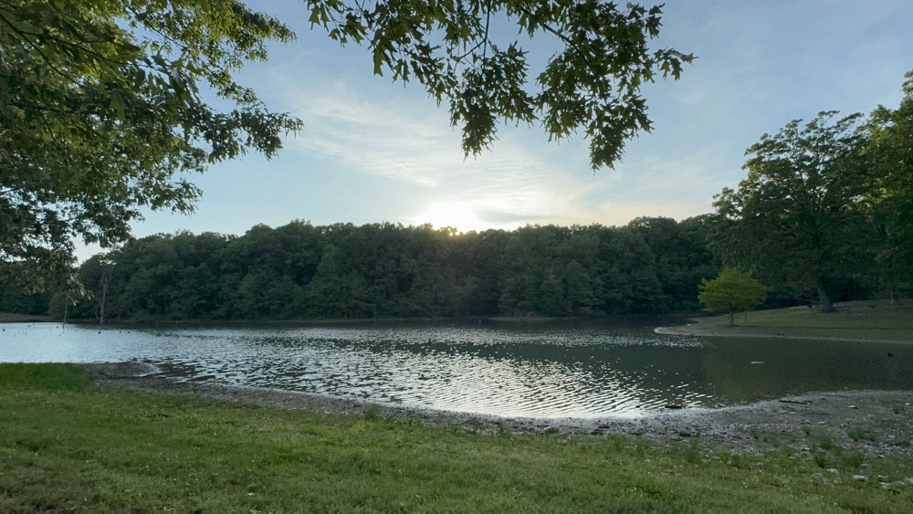
There is a nice Paved trail that goes around the lake on one side. I think you can walk all the way around the lake.
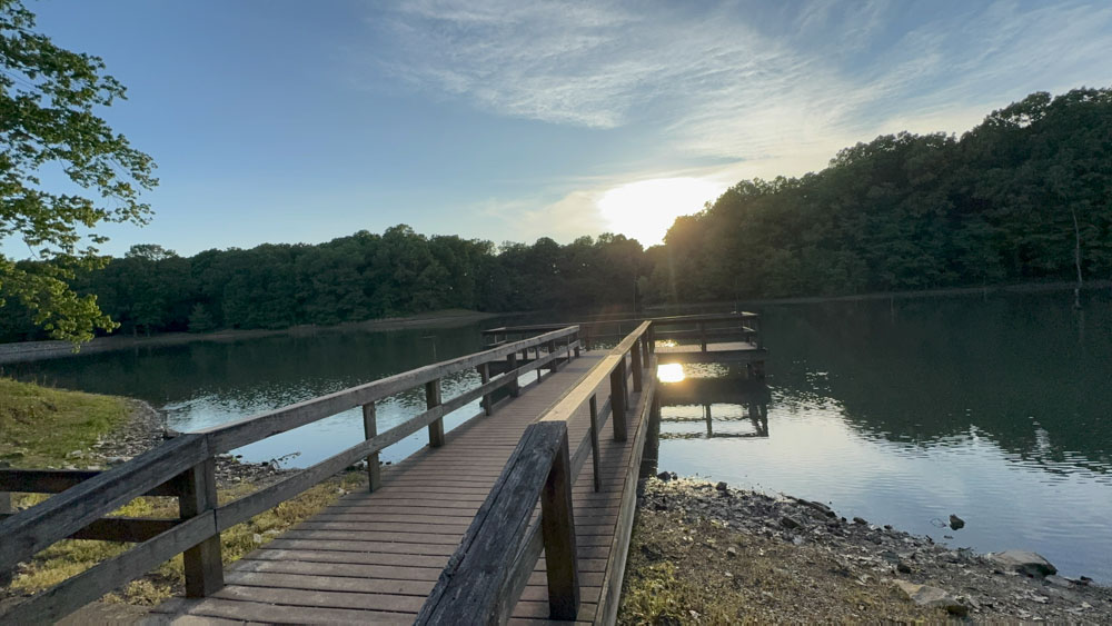
There was a nice dock at the lake with the setting sun which we enjoyed.
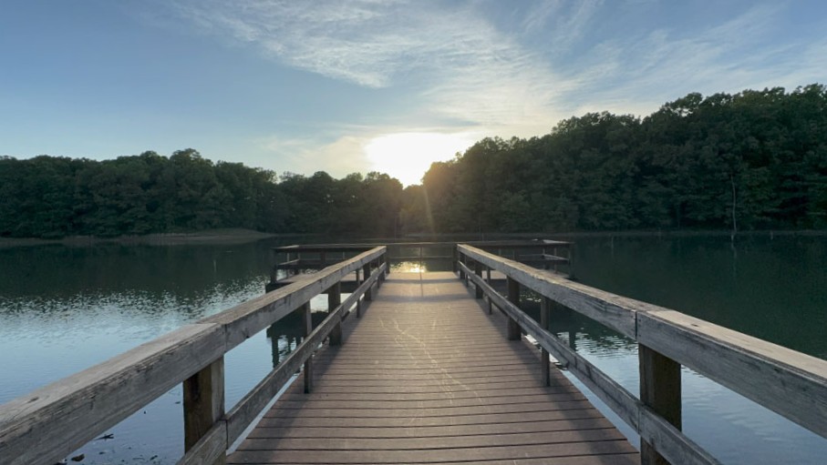
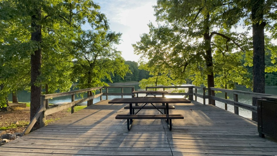
Near the dock were picnic tables. There were quite a few picnic tables and there was a parking area near as well.
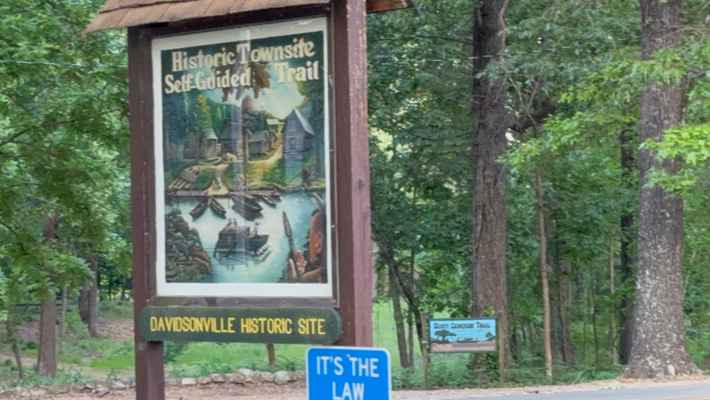
Before we ran out of daylight, we visited the self-guided historic townsite trail. We thought there would be a self-guided map, but basically one just walks around to find the informational boards to read what is at that location.
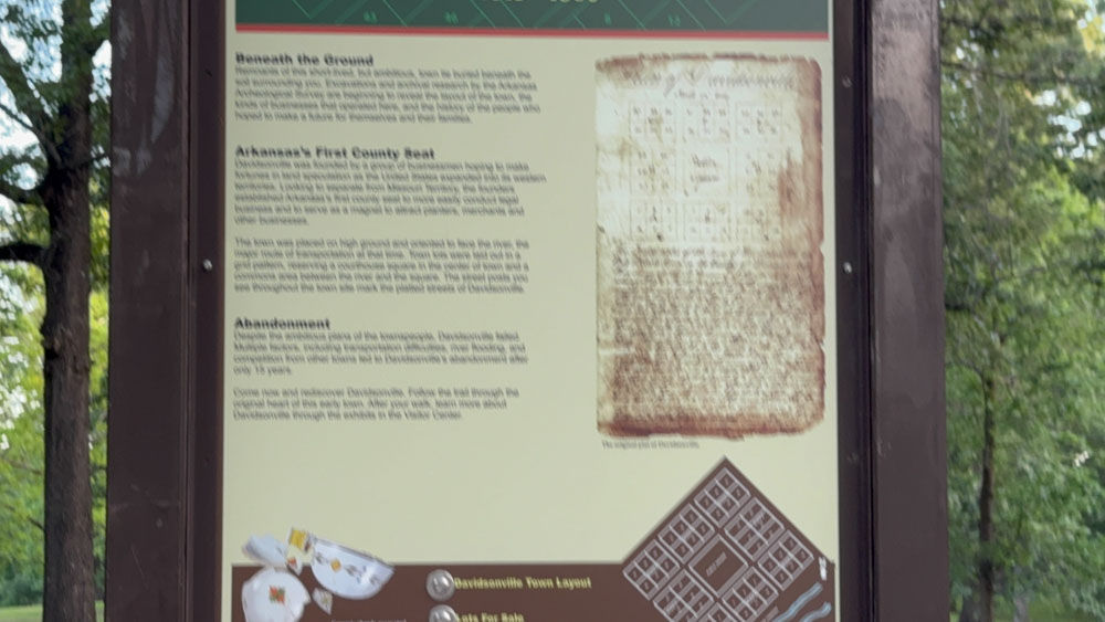
This is a blurry photo, but the first board describes the Davidsonville as the first county seat of Arkansas, which was eventually abandoned. I later found the history of this early settlement in Arkansas interesting as it related to the formation of counties in Southeast Missouri, where my ancestors had settled. The two locations were once one, but then as the counties and governments formed, were divided up. The timing of which locations were formed first was interesting.
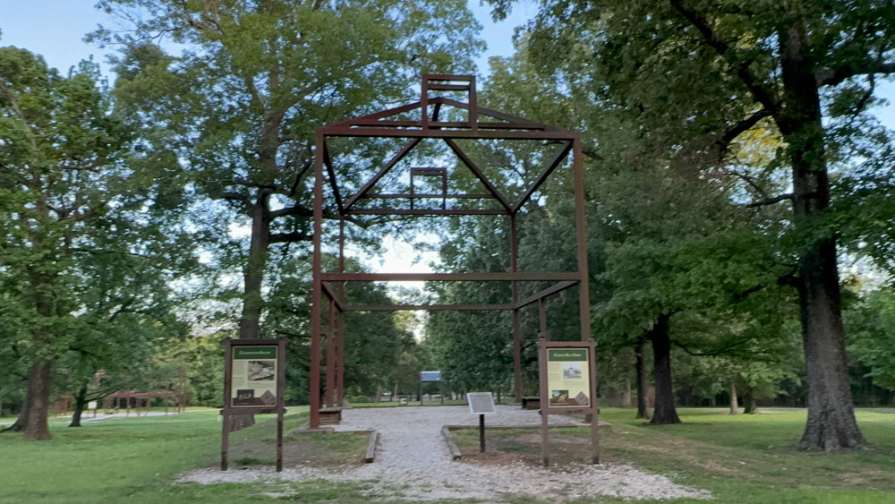
There were huge metal or steal structures that gave an idea of what the buildings formerly at those locations looked like.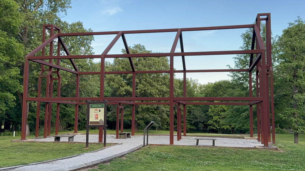
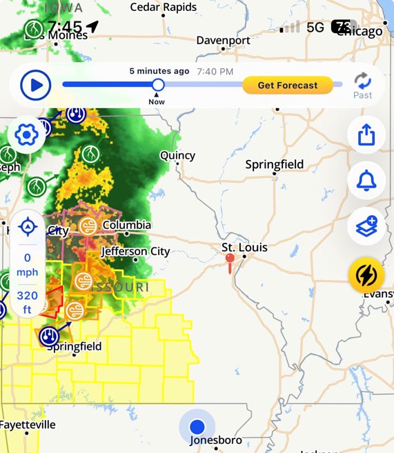
As we were going to bed, we watched a huge storm come through Missouri. Had we driven home, we would have had to have dealt with it. This seems to happen often where the place we are camping is safe, but the place were we could be is not. We manage to skirt around some storms often while we camp.
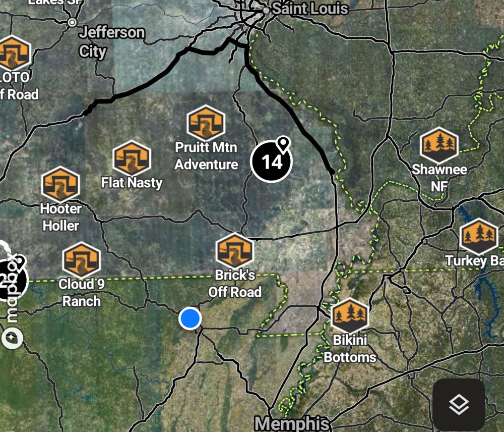
This is the On-X app that shows the location and how close we were to home in Missouri.