Cape LaCroix Bluffs Conservation Area
The above video was of our hike on February 20, 2021. It includes photos within the video, but I have added some of them below the 2018 photos which are next below.
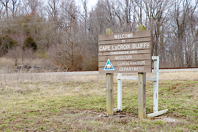
Having long wondered about this trail, we finally had an opportunity to explore. James Baughn's article makes it so intriguing. If you want to see the landmarks, it is certainly a winter hike. The landmarks are hard enough to see through the trees in the winter, so I cannot image seeing them in a season with leaves on the trees. II wanted to wait for blue skies, but a blue sky winter day that falls on a weekend is just not presenting itself. We settled on the sunny but cloudy day of February 18, 2018. Honestly, do not go without a pair of binoculars or a zoom lens camera. My camera only zooms to 135, so even that was not enough to get good photos as Mr. Baughn was able to get.
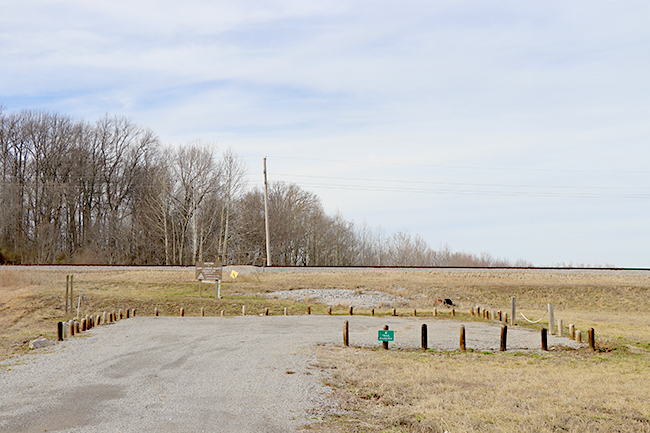
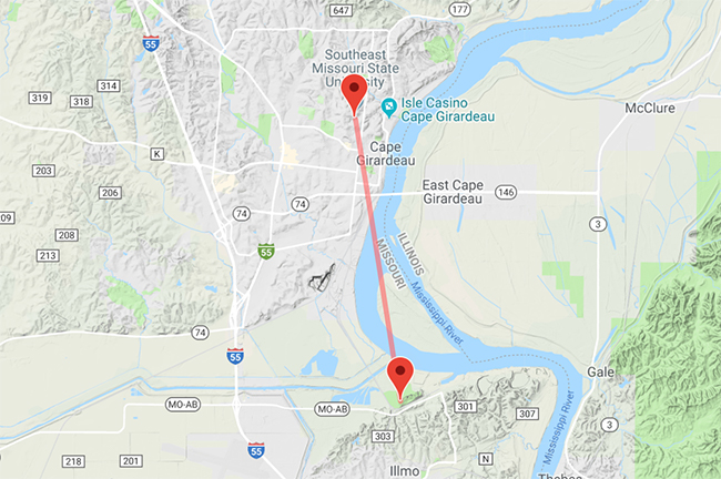
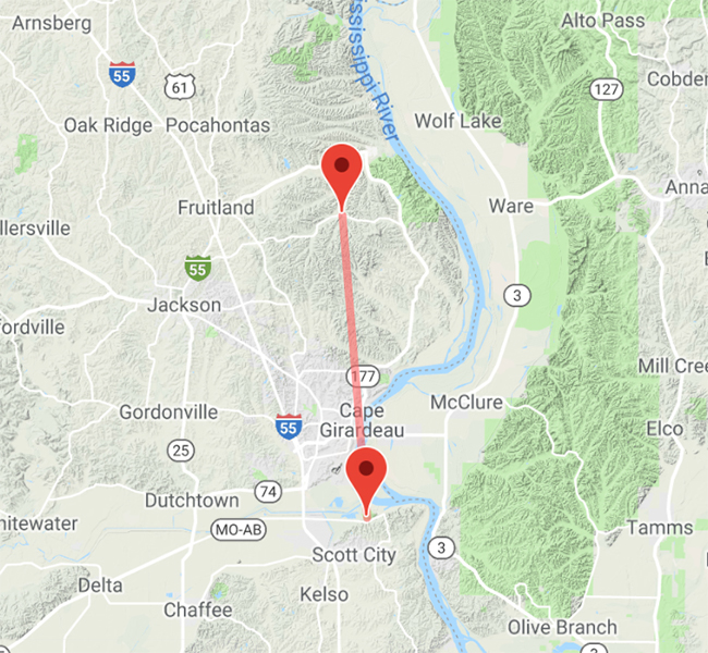
From I-55, take exit 91, which is the Airport/Route AB exit. Turn left towards the Mississippi River and follow Route AB (Nash Road) for 3.5 miles. Just before the SEMO Port Authority there is a short gravel road to the parking lot.
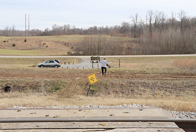
If there has been rain or even melting snow, be prepared to cross the mud between the parking lot and the railroad tracks.
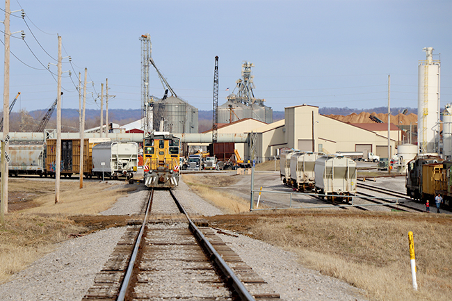
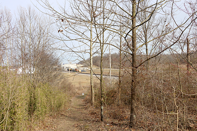
Crossing the railroad tracks provides for some photo opportunities. This train was stopped. We did hear trains the entire time we hiked, so open your ears to the sounds.
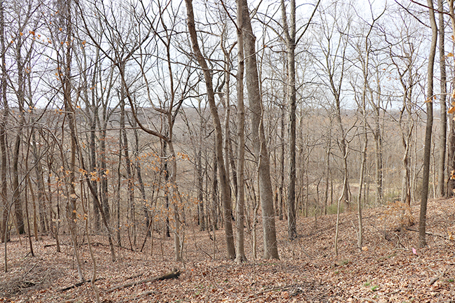
The trail is easy to walk without any stones or things to climb around. However, it is very steep. It goes up to the edge of the bluff, but does go up and down along the way as well. It certainly gets the heart going well. We were smiling at ourselves, having a deployed son, as we imagined it a great training area for the military to take a run.
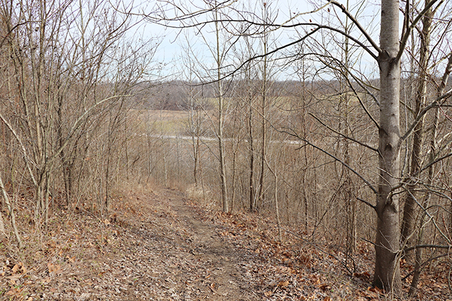
Just when you think you have a break because the hill levels off for a short bit, there is yet another hill to climb. All along the trail you can see the road in the distance, so you are never too far into the woods. When we left for home, we could follow where the trail went along the bluff as we drove in our car and wondered if people driving could see people walking.
Just keep putting one foot in front of the other. You can make it!
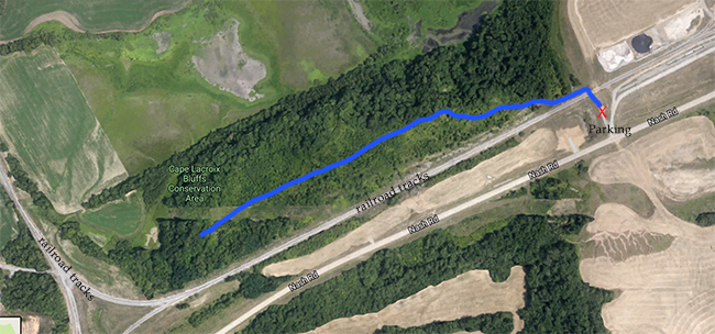
This is a map of the trail. I estimate the trail is about a half mile to the end and then you walk the same trail back out. It was quite an adventure looking through the tree branches almost like an "I spy" game of what was in the distance.
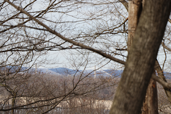
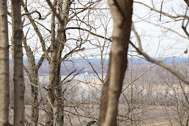
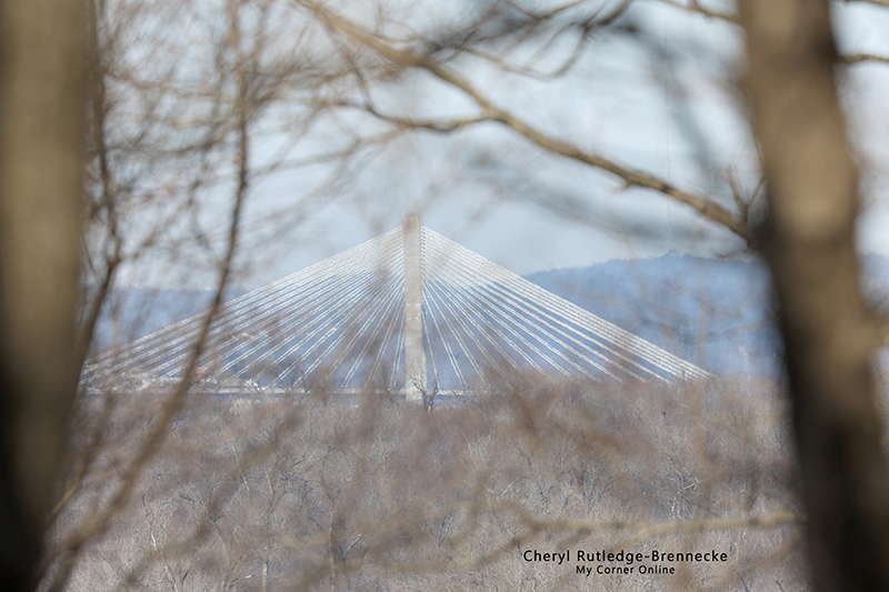
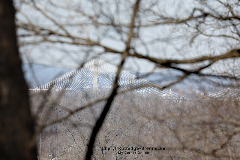
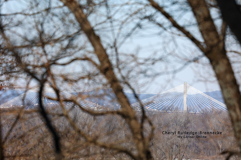
The Cape Girardeau bridge is easy to spy all along the top of the bluffs, but it is not easy to photograph through the trees. We spent a lot of time looking for the best spot to take a photo. Going lower does not help because the bridge disappears from view.
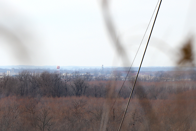
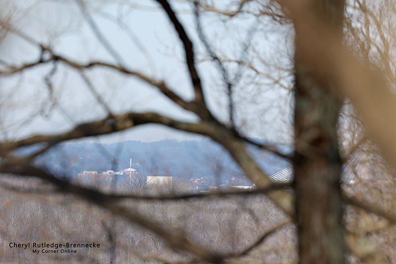
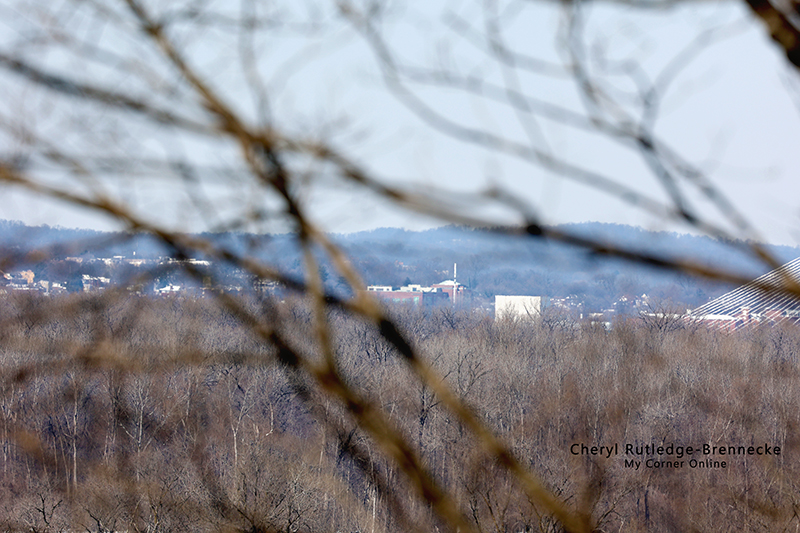
On the way back on the trail, I spied this and said to my husband, "I think that looks similar in shape to what Mr. Baghn's photo is of the dome." He disagreed with me and went on and I said I would snap a photo to take a closer look at home.
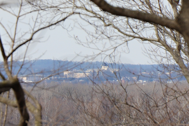
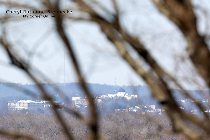
This is the same photo zoomed it! What a surprise when I looked at my photos to realize we had seen the Southeast Missouri State University dome I believe that to the left side of the photo is the Hirsch Tower (not the building downtown, but the transmitting tower).
As the crow flies, it is 5 miles from the Conservation Area to the SEMO Dome.
The crazy thing is that Hirsch Tower is near Oriole which is near Trail of Tears State Park which is a 14 mile distance as the crow flies. Maybe I am wrong and it is not the transmitter. Regardless, the perspective of distance with the human eye is so off from atop the bluffs.
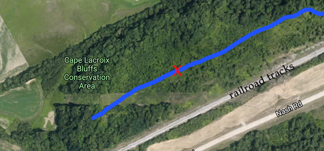
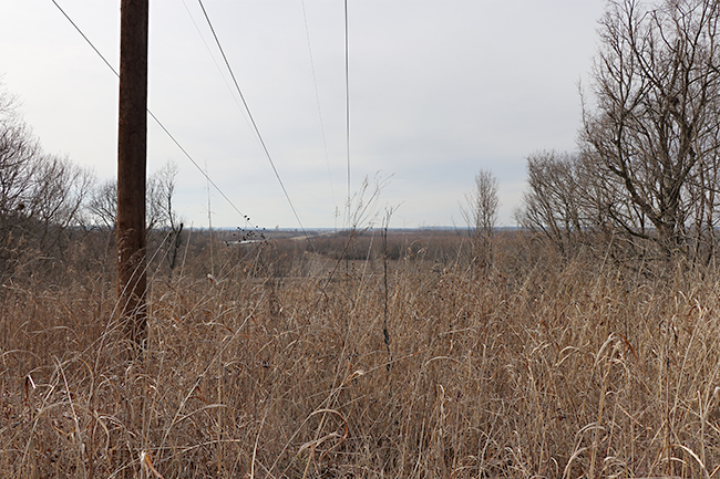
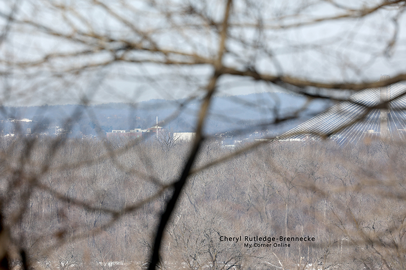
This is the above aerial view zoomed on on the end of the trail. The photo of the SEMO Dome was taken about where the red 'x' is located on the map, between the ravine with the arches (shown below) and the area that is cleared for electrical lines as seen in this photo. What is also crazy is that when you are in the clearing, you think that you are looking the same direction toward the Dome, but it is a totally different direction. Follow the path of the eye along the clearing in this photo to see that the view is more west than north.
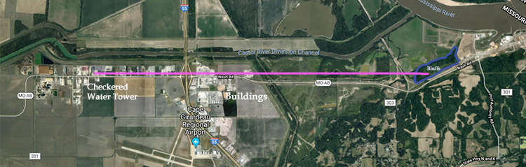
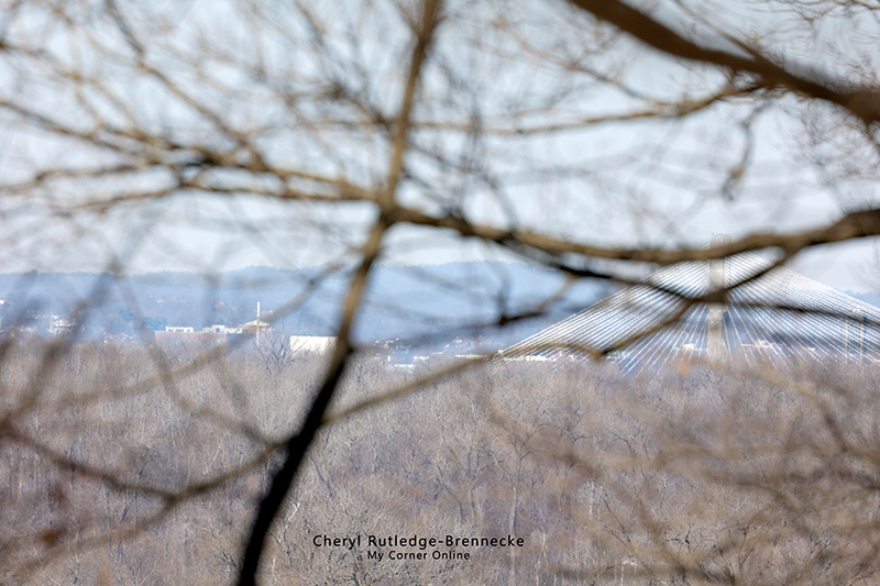
This is direction of view from the power line clearing. The checkered water tower is near Schaefer's Electrical Enclosures which is, as the crow flies, a distance of four miles. The buildings to the left of the checkered water tower are much closer in distance near Havco Wood Products, a distance of 3 miles as the crow flies.
The eyes distance perspective is very deceiving.
You can see buildings to the right of the checked tower as well.
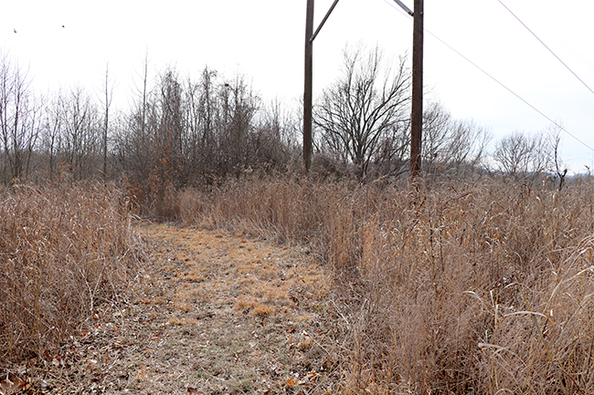
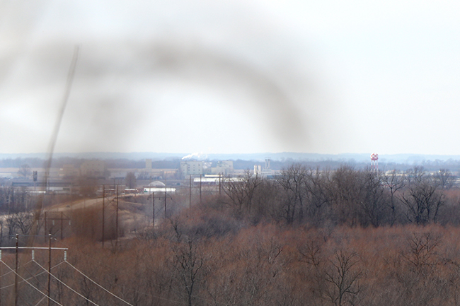
This is the view as you come to the clearing. We had to push down some brush in order to get the photograph and even then some brush was in the photo.
This is a view of the clearing without the aid of binoculars or a zoom lens camera.
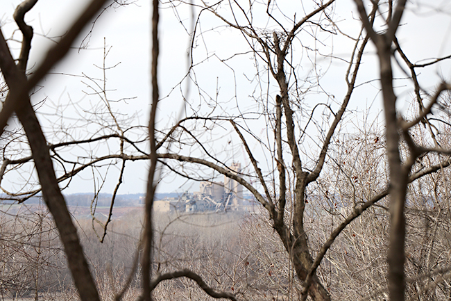
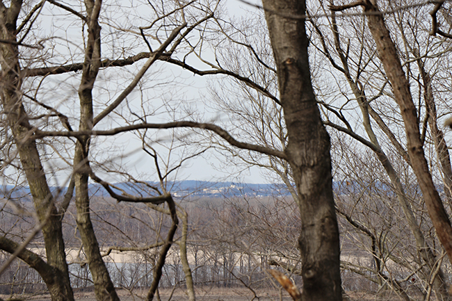
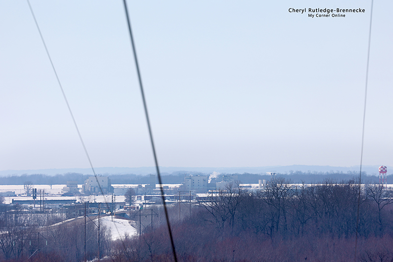
Similar to the bridge, the cement plant is visible all along the trail peeking through the trees.
According to James Baughn, you can also see the wastewater treatment plant and the Hirsch Tower (the building on Main Street) and the Bald Knob Cross. We are going to have to go back on another day and play another "i spy" game to try to spot these landmarks.
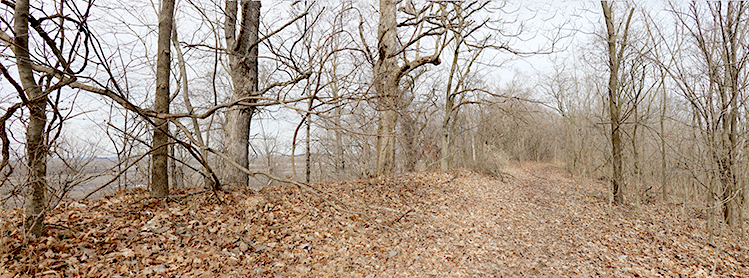
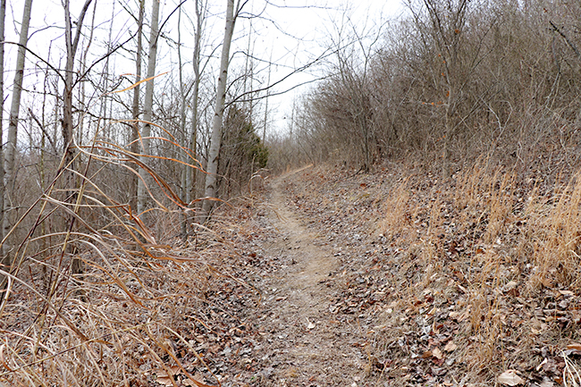
This is a three photo merged panorama to show the trail with the bluff view.
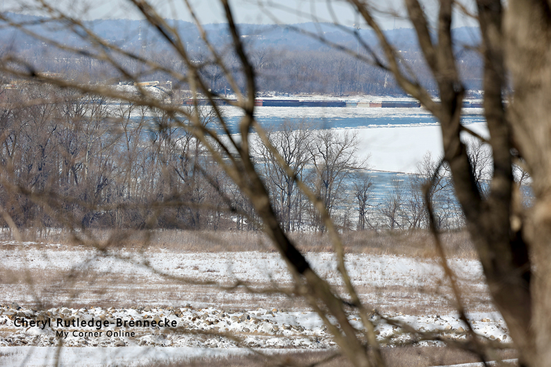
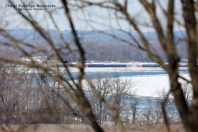
We did see several river barges on the river.
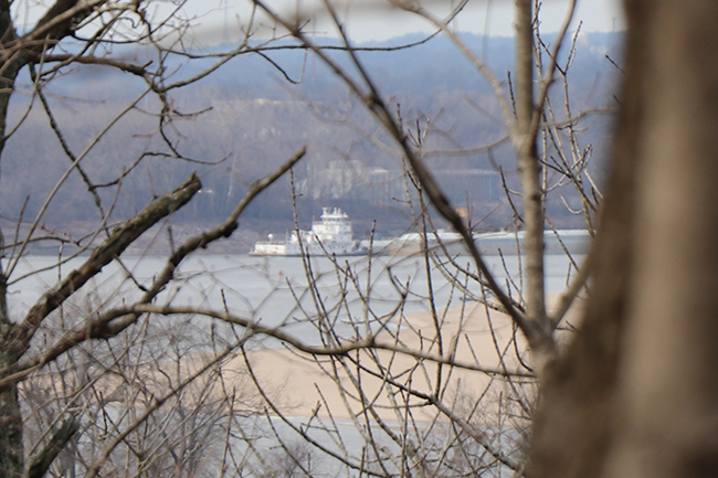
There is a building behind the river barge, but I have no idea of its identity.
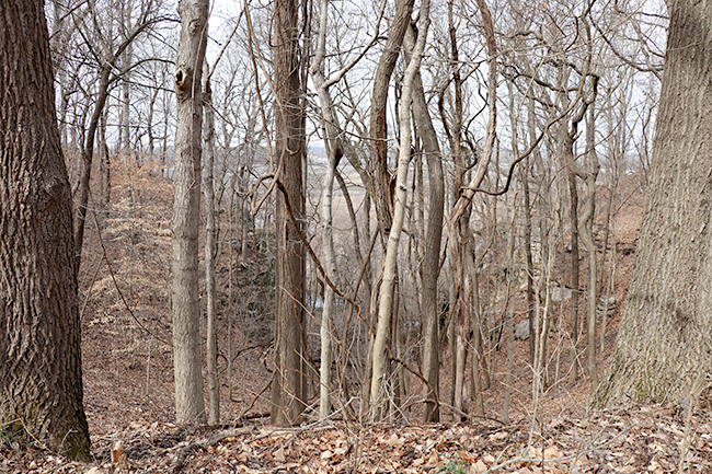
Mr. Baughn shares some stone arches on his post. This is a view of the stone arches. You can see them as you move, but it is impossible to get a photo of them from the bluff. We explored the idea of going down the ravine, but it seriously slopes straight down. It is possible to go down, but it would only be stupid for me to take that risk, and probably the majority of other people to do so as well.
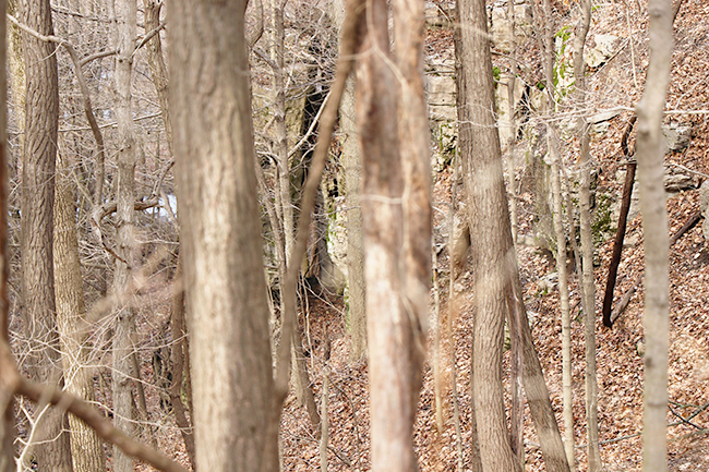
This is the best photo I could get of the arch on the right. It is in the middle of the photo.
At the end of the trail, the trail does seem to curve around and go down for a short distance. Maybe it was a path of water run off? We followed the trail and then some until we got to this view. We explored the idea of trying to get to the bottom and for a few it may be do-able, but when my shoe slipped considerably on the mud underneath, I thought it best to listen to my conscience and not attempt it. How did Mr. Baughn get to the bottom for his photos?
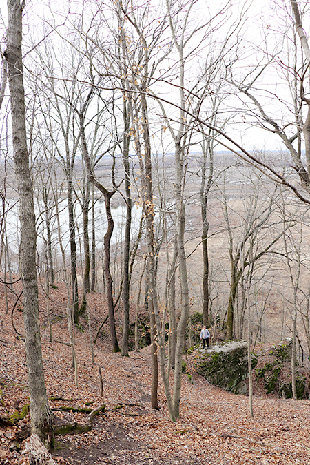
My man did climb down this ravine to the stone outcrop to see if there was a better photography view. The lower one goes, the more the items disappear on the tree line.
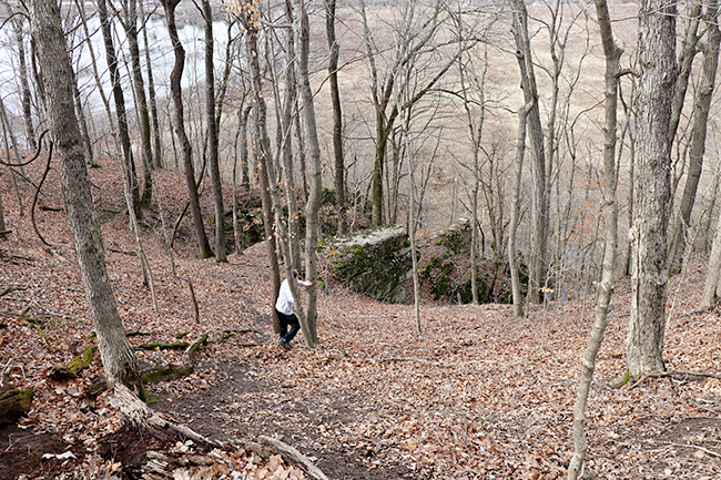
Tree hugging is the best way down.
I do recommend the hike for some great exercise as the trail is not too long. There was another couple there with their dogs. It is also keeps things interesting playing the "I spy" game.
Having lived in this area for a long time, we wondered why we never knew about this area. The area was not established until 2006. It was established to protect the habitat of the Spring Cavefish found at the base of the bluff.
These photos were taken on February 20, 2021, during our snow covered hike and are included in the above video where I do a voiceover to share detailed thoughts.
The River Campus.
The River Campus.
The River Campus.
Barges on the ice covered Mississippi River and a dredging machine. I like the perspective with the ground in the foreground.
Colorful barges!
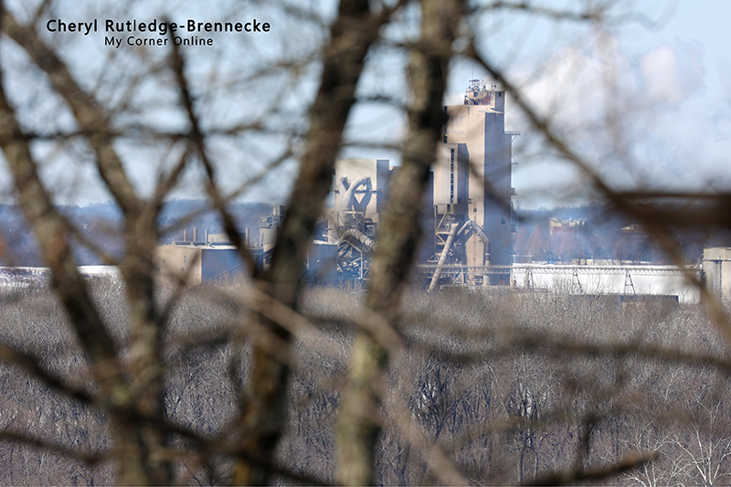
Lone Star Cement, now Buzzie Unicem.
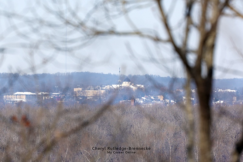
The dome at Academic Hall on the campus of Southeast Missouri State University.
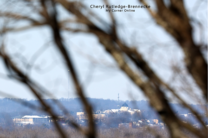
In this photo you can see the Hirsh Tower well as I caught the lights that are blinking.
The dome at Academic Hall on the campus of Southeast Missouri State University.
The River Campus and other buildings.
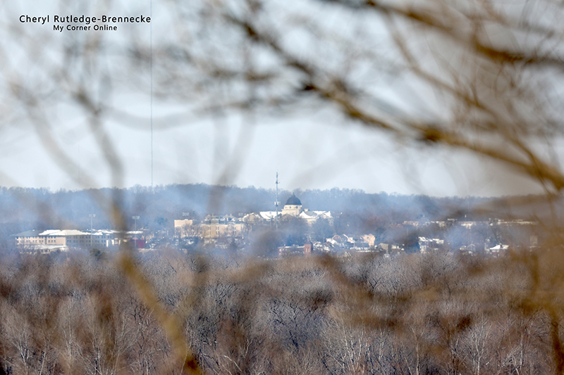
The dome at Academic Hall on the campus of Southeast Missouri State University.

Checkered water tower is near Schaefer's Electrical Enclosures.
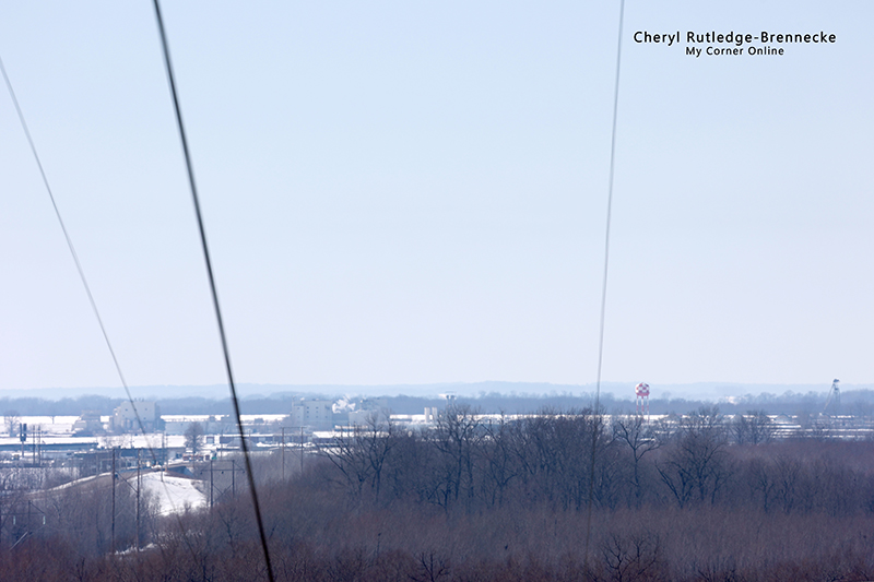
Checkered water tower is near Schaefer's Electrical Enclosures
Havco Wood Products
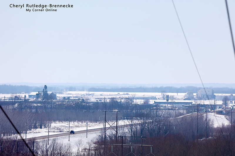
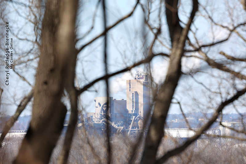
Lone Star Cement, now Buzzie Unicem. These photos are in the order I took them, so the first one of the plant above was taken on the way out on the trail and this one on the way back on the trail.
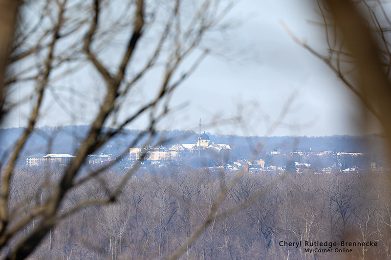
The dome at Academic Hall on the campus of Southeast Missouri State University.