Long Branch State Park
I visited Long Branch State Park on April 30, 2023 all by myself, right before I made the long drive home. It was SUPER windy that day so I did not get to get out and walk as I would have liked to do. I would certainly visit this park again. There is so much to explore and it takes up so much ground area of a great distance. The campgrounds seemed nice too. GPS kept taking me to the Bee Trace area at the northern point and I had to use a map to find the main park area. I suppose if I would have put in the address it might have taken me there, which is 28615 Visitor Center Rd, Macon, Macon County, Missouri.
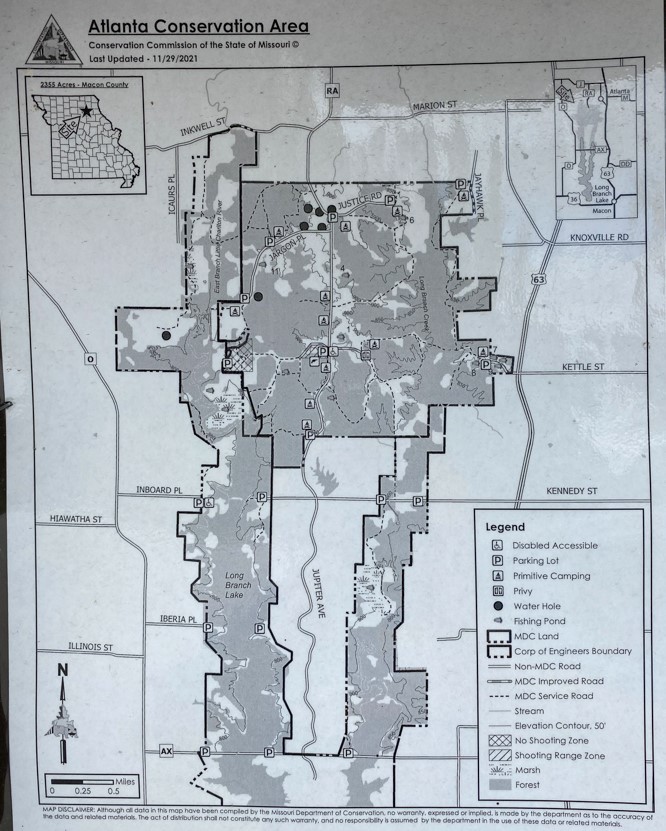
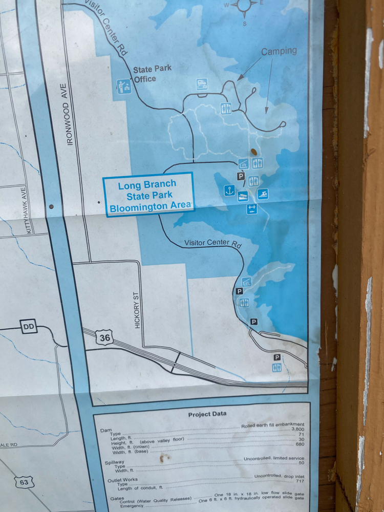
Here is a photo of the map of the Atlanta Long Branch Conservation Area which is directly across from the Bee Trace area of the State Park. I did not get to explore it, but it looks like a great place for an adventure if in the area.
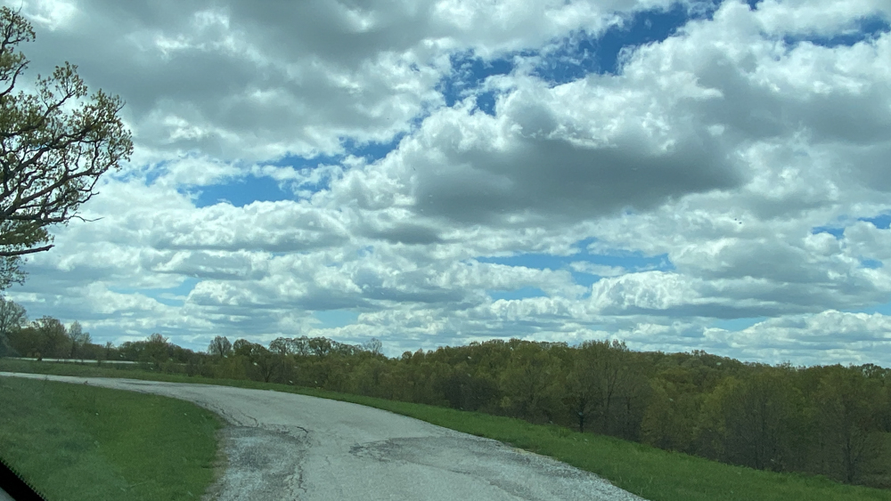
Behind me in this photo is the road to the conservation area and right in front is the Bee Trace trail which looked like it would be a nice walk. A nice man told me that you could take multiple cutoffs to make the walk any distance that you want. It seems this is a peninsula that is surrounded by the lake. I'd like to see it.
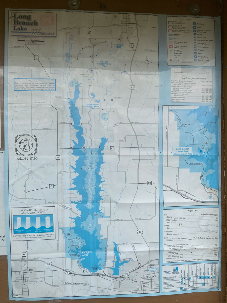
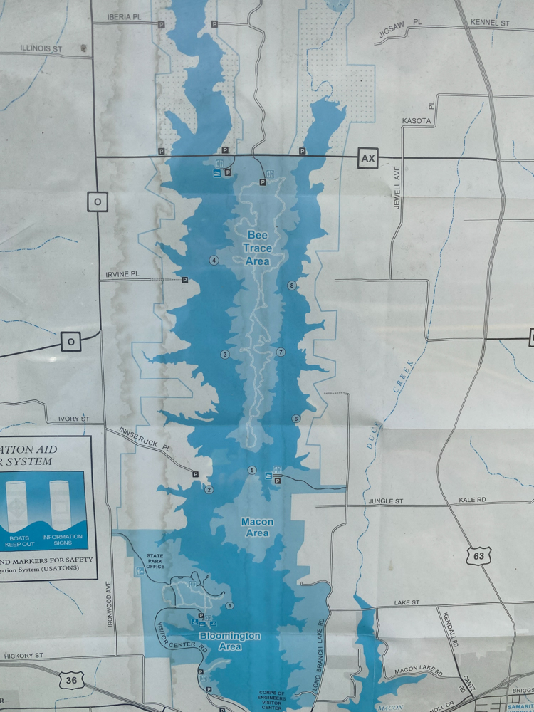
This not a great photo, but it gives you an idea of just how big the State park really is. At the top on the "AX" road is the Bee Trace area. Then I went down 63 quite a ways to get to the main part of the park at the very bottom which is really off of 36. There are gravel roads that go right down along the park and I did travel on some of them to navigate my way.
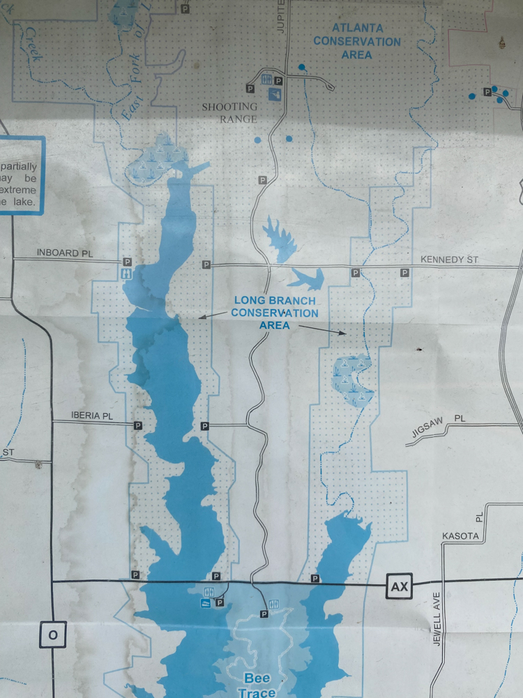
This shows the conservation area across from the Bee Trace area.
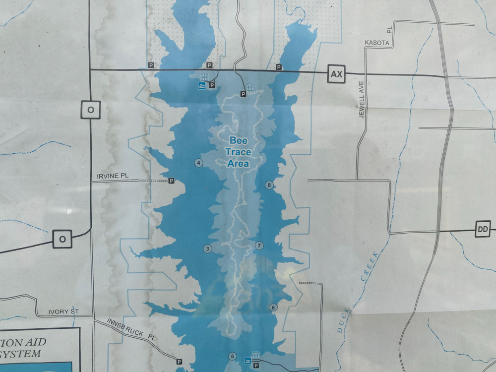
This shows the Bee Trace Area with the trails down a peninsula. Also in the middle Macon Area is another parking place, down Jungle Street off of Highway 63. I did not go there. Macon is the main city that you go through on Highway 63. After going through the city north, on the way to LaPlata is where you find Axtell Road that leads to Bee Trace.
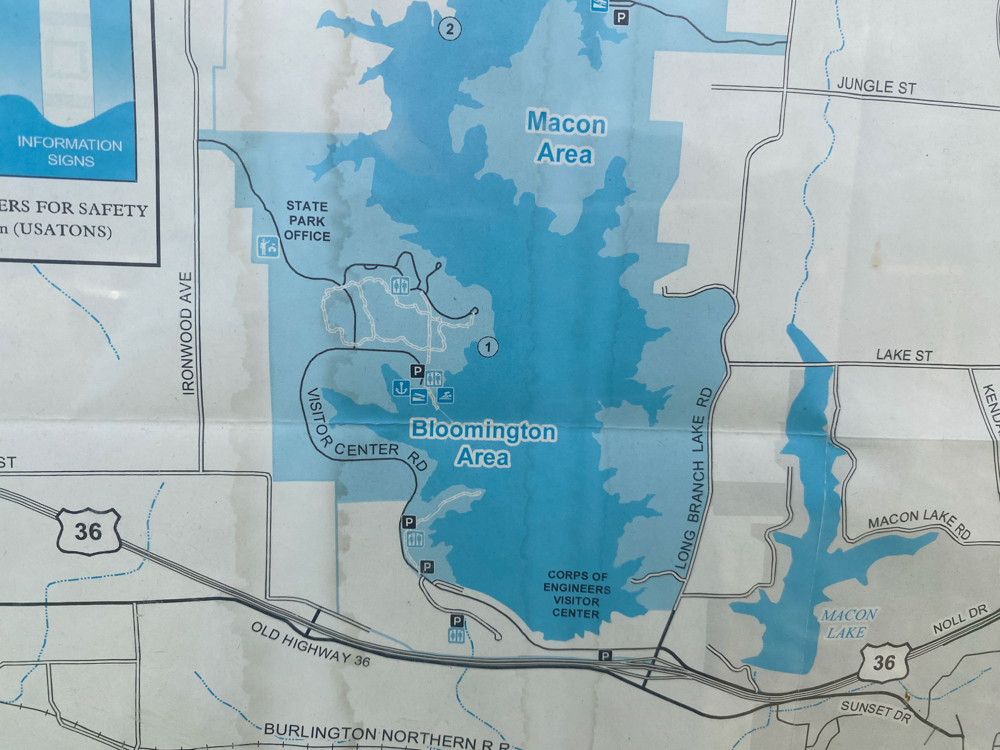
The bottom area is called Bloomington Area, but that is deceiving to me because Bloomington is on the left side of the map up north a distance. To me it felt closer to Macon which is to the right. This is the main part of the park. I had to drive all the way through the park to get to the park office which was closed because it was off season and I had to go to the campsite to get a map. I came all the way from Bee Trace down to the campground before I was able to get a map. That part I did not like. On the bottom edge of the lake here is where the dam that you drive over is located.
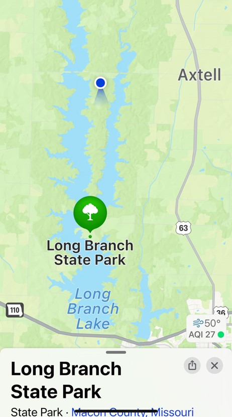
This is the blue dot where I stood from Bee Trace which shows just how big the area. I bet boaters really like this park.
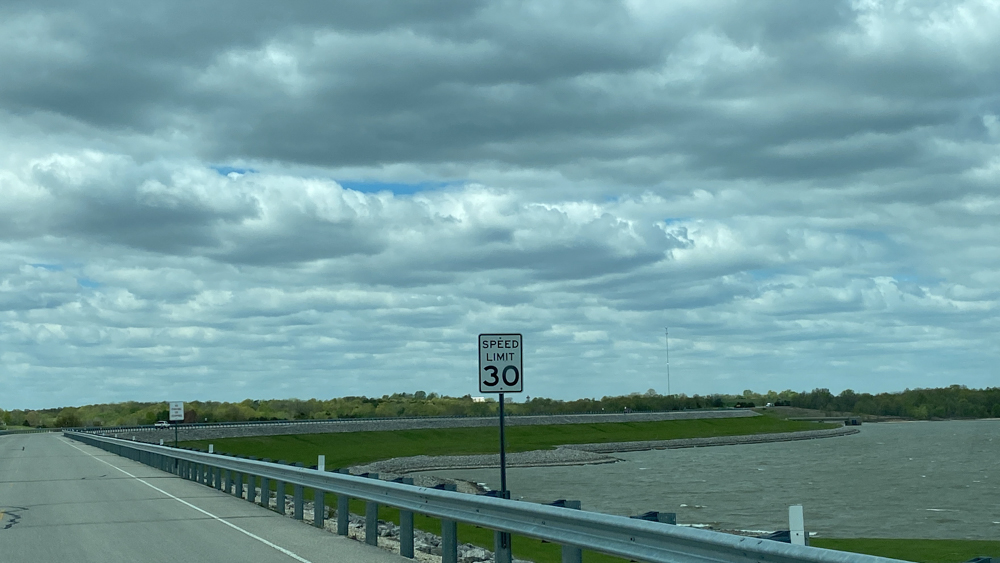
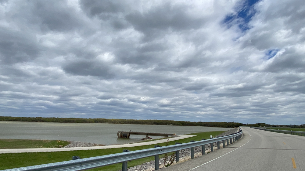
This is the dam as I began to drive over it.
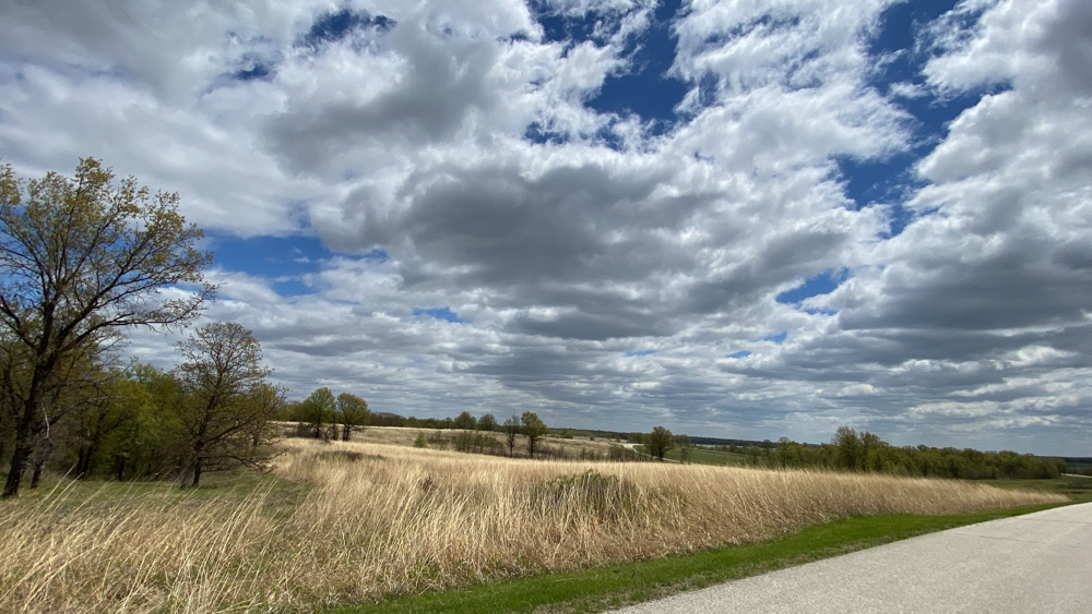
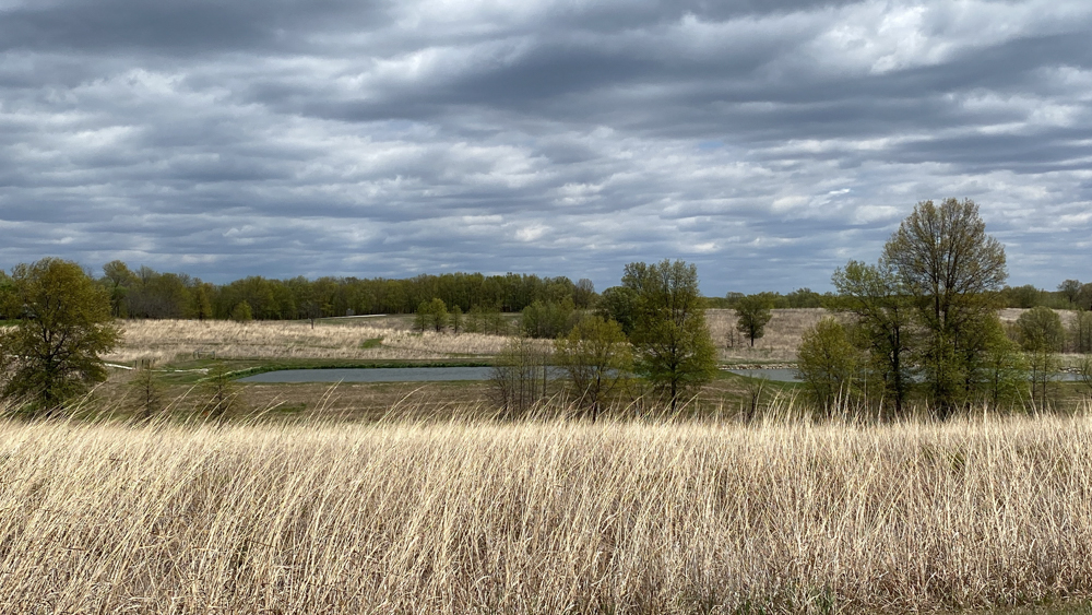
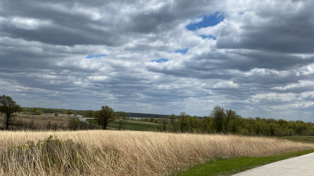
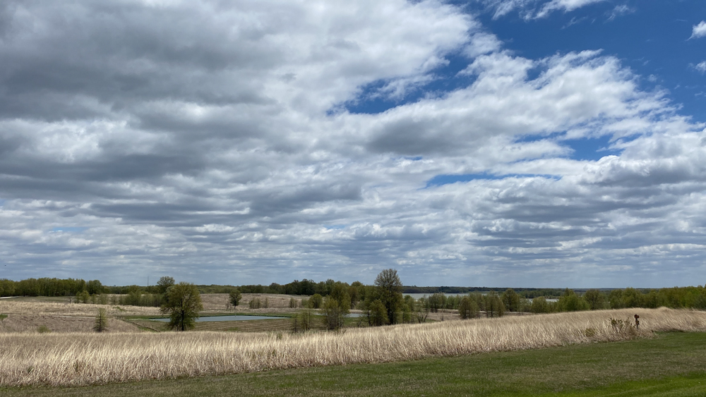
It was a super windy day while I was there with these amazing clouds. I really enjoyed the native prairie grasses blowing in the wind and would have loved to take a walk on the trail through them. I bet there are lots of flowers and greener grass during mid to late summer that are gorgeous.
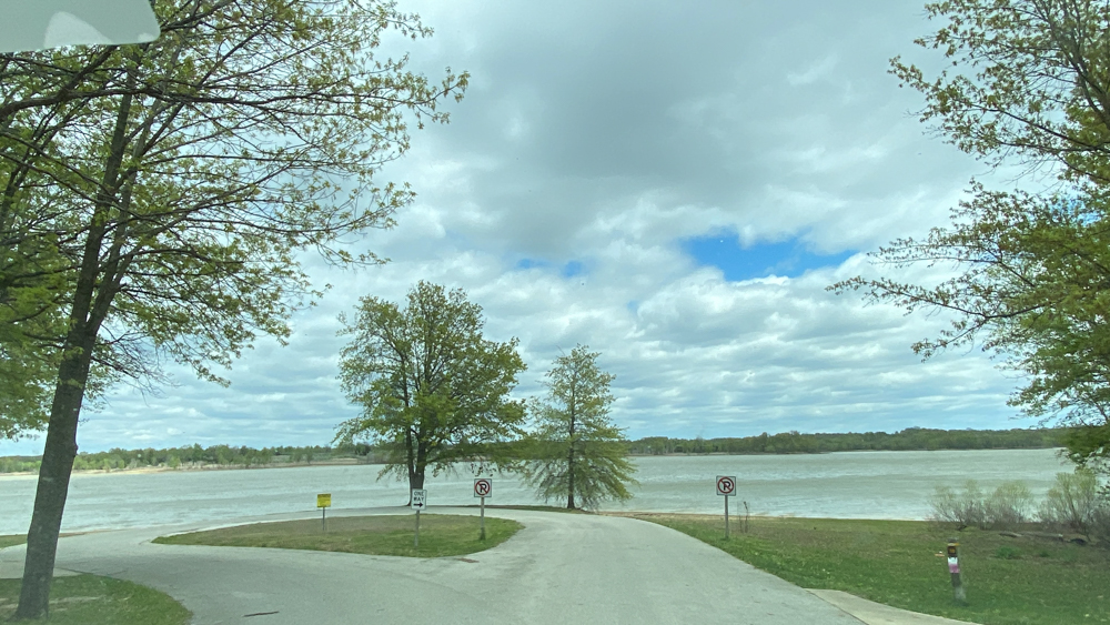
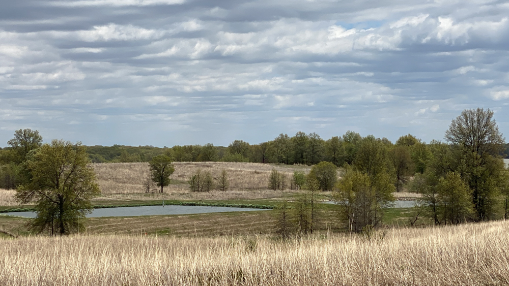
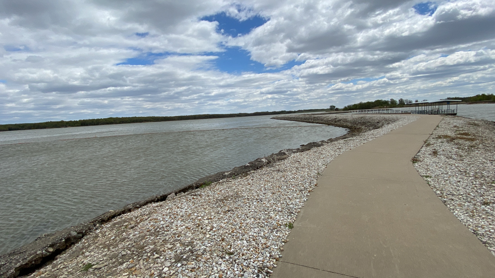
I drove through the campgrounds and the host was really nice. At the end of one of the sections was this loop that ended at the lake and I stopped here and go out to enjoy it for a moment, although the winds were fierce.
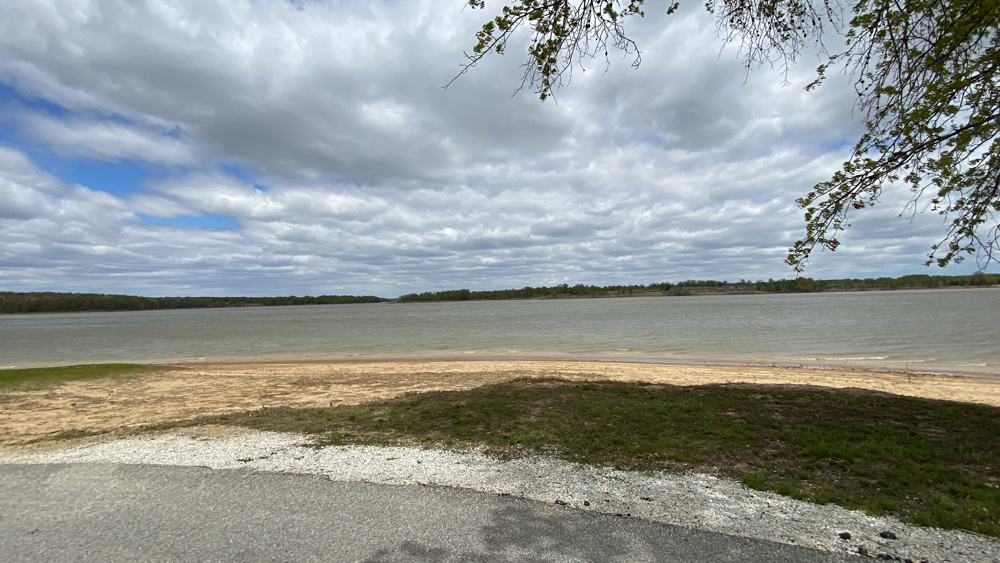

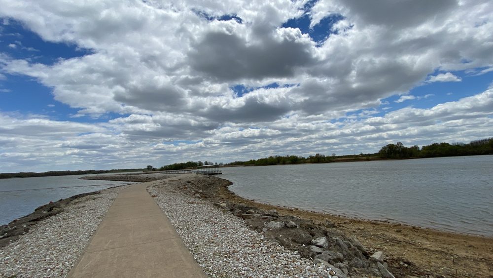
I found the swimming beach and I did get out of the car and brave the wind to walk out on the dyke a ways. the swimming beach is partly seen here to the left. You can see it better in the above video.
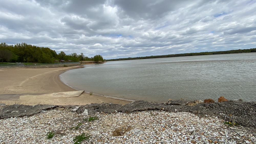
This is the swimming beach area. the parking lot is huge as I guess they get tons of people coming to swim. You can see three pavilions for picnics in the distance.
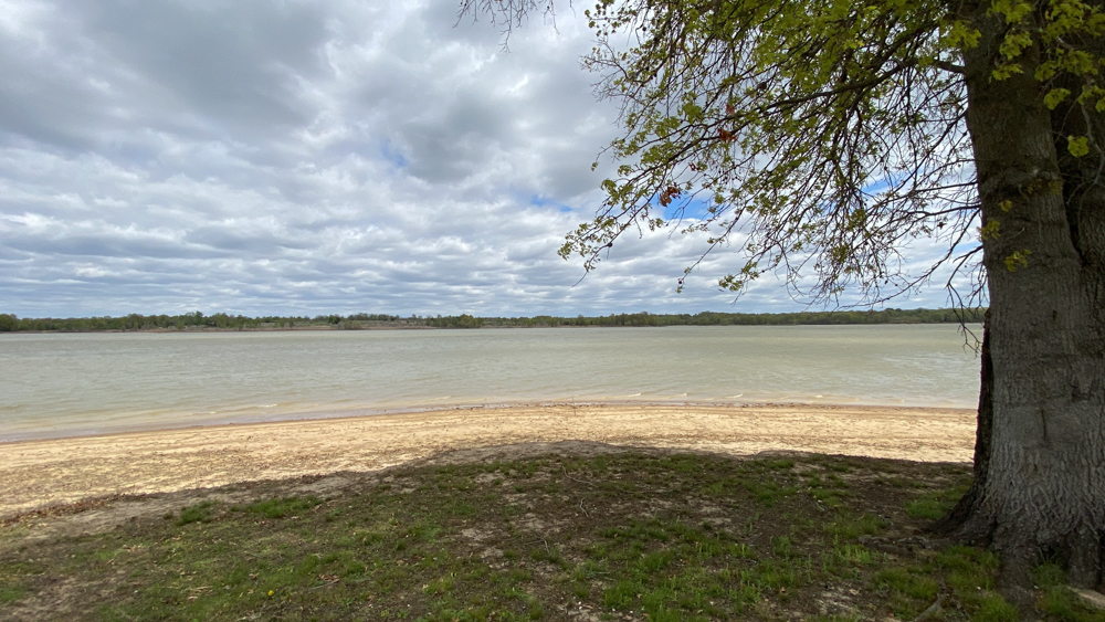
Swimming area to the left, again. You can see the marker that ends the swimming area.
This is as I was leaving to go over the dam again.