Rebel's Cove Conservation Area
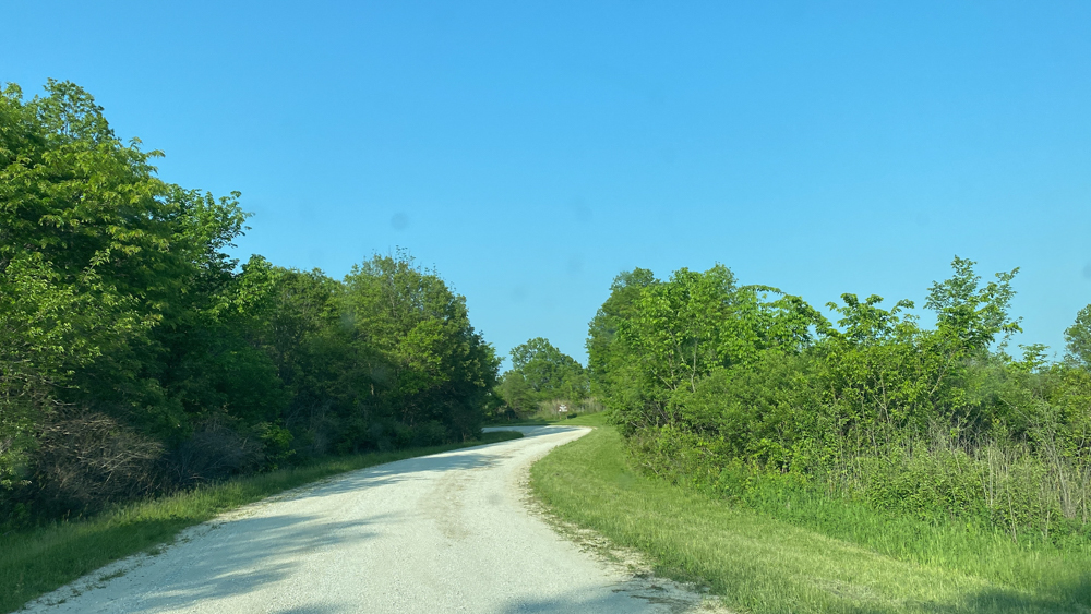
On our tour of Northeast Missouri we next visited on Saturday, May 20, 2023, Rebel's Cover Conservation Area which is partly in Schuyler County and partly in Putnam County and near the border of the State of Missouri with the State of Iowa. Since we were coming from Schuyler County, that is the direction that the GPS took us. GPS made an error and told us to turn right onto Cochran's Drive and stopped a short bit down and told us we had arrived. The road was rather rough but we continued on until we realized that to get anywhere we would need to go into Iowa and back down on the left side of the park, so we turned around and took the straight turn (now on the right) onto Raven Road which took us down and to the footbridge which was fun to cross, but once we crossed it, which took no time at all, we were rather stuck. Although the map (as you can see in the video) shows that you can drive across the bridge, you could not. We had to travel all the way back out of the park to Highway 202, down to Highway 136, and across through Livonia, and up Highway N to get to any of the rest of the conservation area which is in Putnam County. That is quite a distance!
We had thought we might camp here, but after we drove around a while, we were actually kind of creeped out about the area and took the chance to travel on to find another camping spot before we ran out of daylight. We did make it partway down Blackberry Trail road off of N before we gave up and moved on. At the end of Blackberry Trail is the other side of the footbridge. There was one nice area we could have pitched a tent, but we saw a big snake and the view was obscured by a big metal box and farm implements. The Chariton River is muddy and icky and it did not feel inviting one iota, especially after we have spent so much time in the crystal clear rivers of Missouri in other counties. The "pools" that we saw were also muddy and not pretty as the blue on the map might allude. For as good as the internet reviews seem to be and for as good as the map makes it look, we were leaving disappointed. Even the name of the conservation area invokes a fun place to be, but such was not for us. We were intimidated and felt unsafe from wildlife to set up camp. Hunters and those who like to rough it more than we do might love the place.
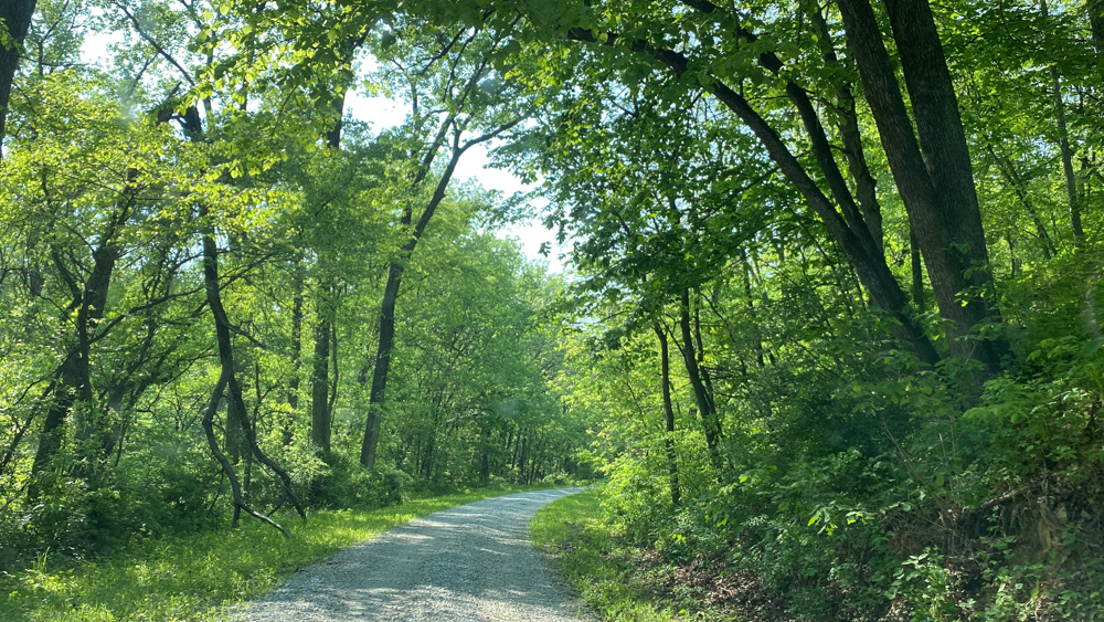
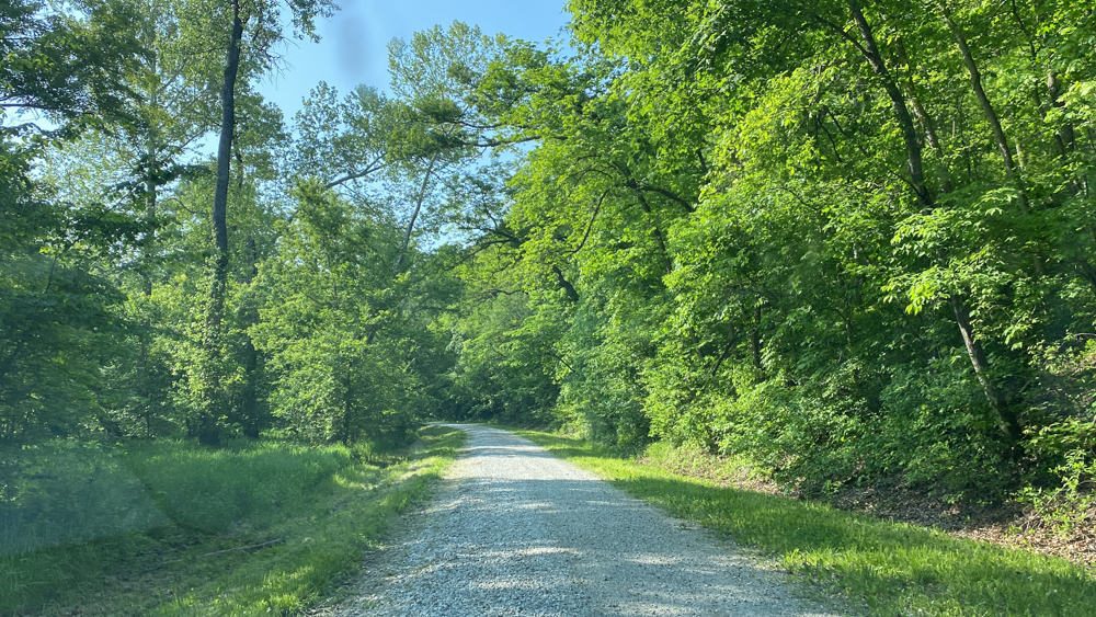
This is Cochran's Drive which is a one lane road with no passing and deep in the forest, which was rather intimidating.
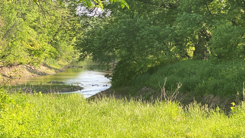
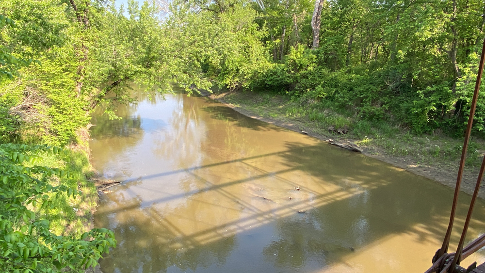
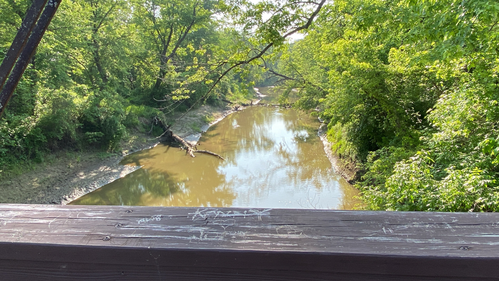
This is a glimpse of the Chariton River.
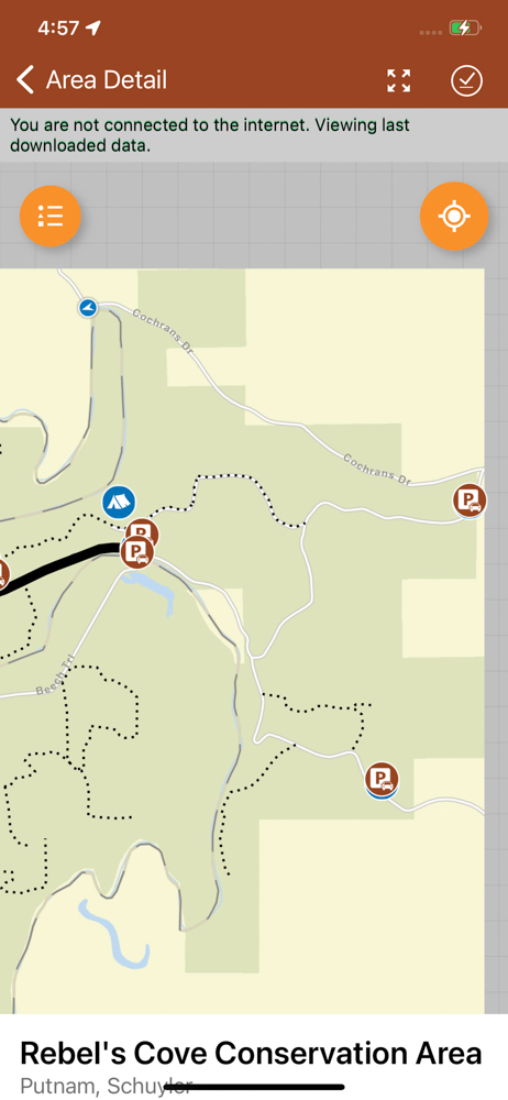
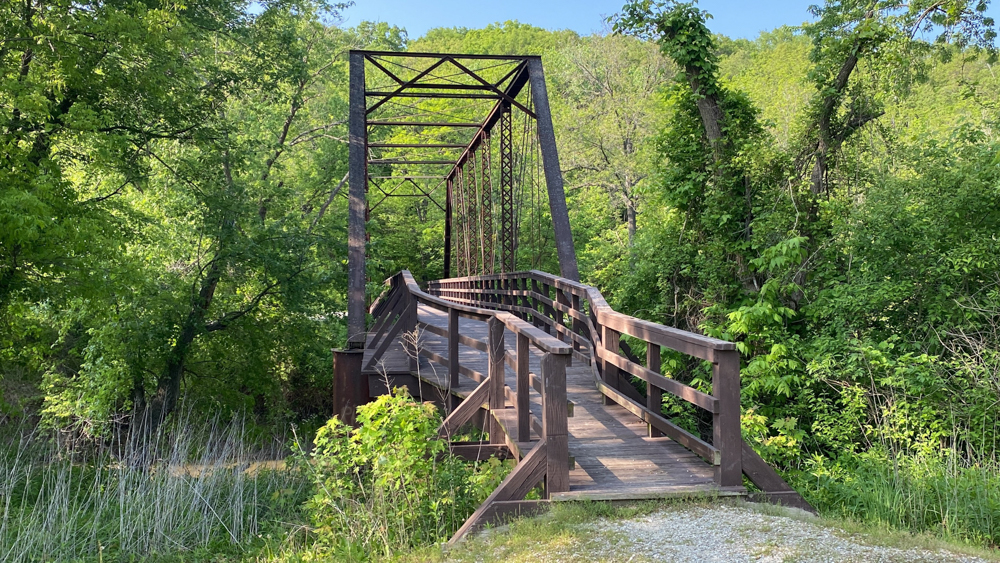
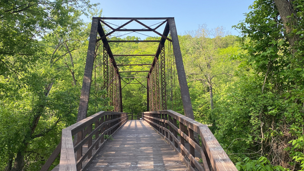
You can see where the two brown parking symbols are on top of each other and that is either side of the walking bridge (footbridge), which is shown that you can drive over it on the map, but you cannot. It shows you can camp there too.
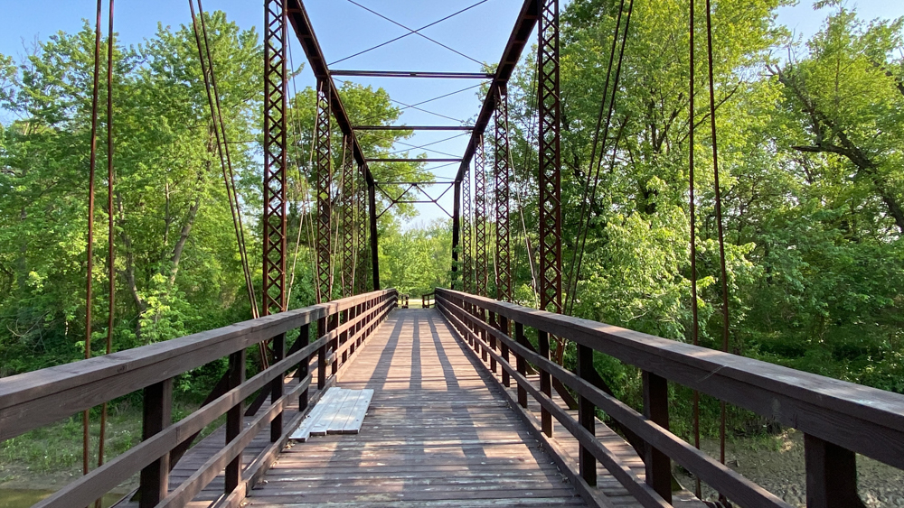
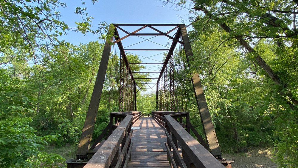
The footbridge crosses the Charitan River which I found to be like a muddy Mississippi in miniature form.
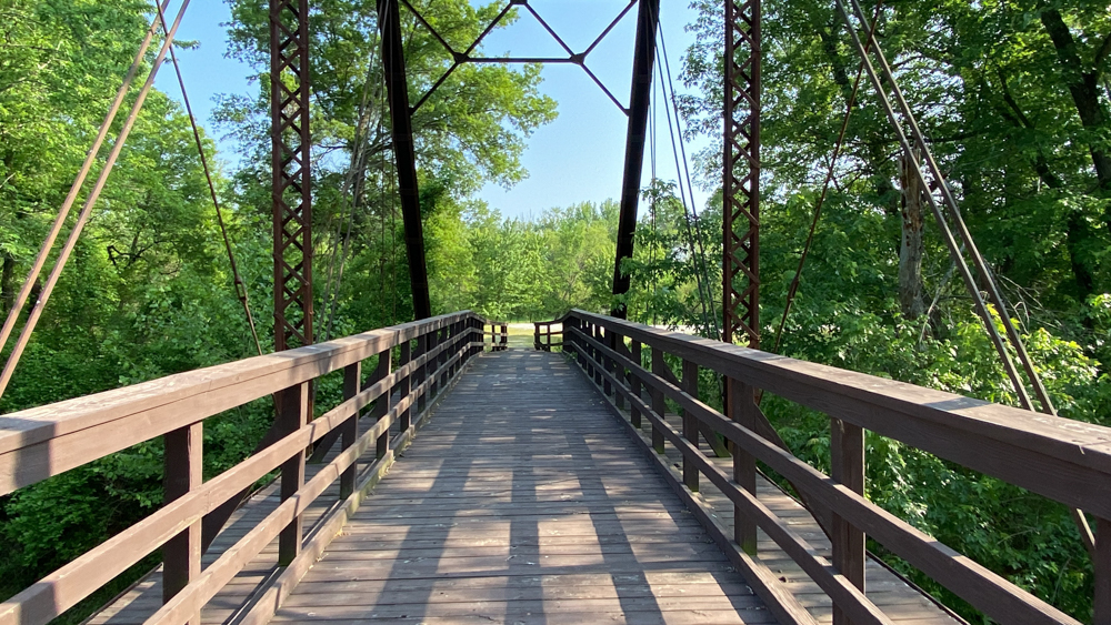
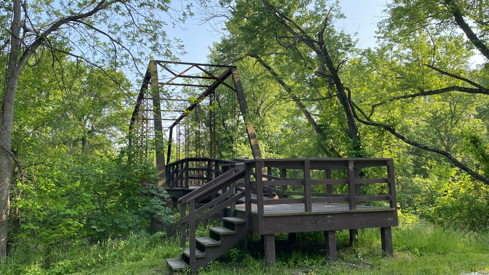
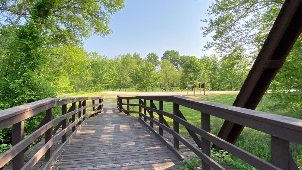
The footbridge was the most exciting thing we saw!
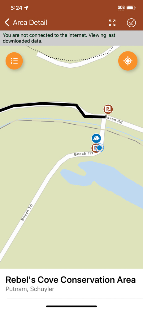
This shows the blue dot where we were when we crossed the footbridge and it appears like you can drive across it, but you cannot and as explained above, you have to go a long distance to make it back to that parking lot where it shows the tent symbol.