Matthiessen State Park
Matthiessen State Park is located at 2500 IL-178, Oglesby, La Salle County, Illinois. Starved Rock State Park and Matthiessen State Park and Illini State Park and Buffalo Rock State Park are all very near each other in Illinois, between St. Louis and Chicago along I-55, and we visited all four on the weekend of May 12 through 14, 2023.
Matthiessen is a beautiful state park. Even in the river area we were impressed and I would have liked to have had time to get out and hike some of the trails there. The picnic areas and the drive through were lovely. However, most folks focus on the dells area of the park, and for good reason so. This is certainly the kind of place I like to go to on vacation for an adventure!
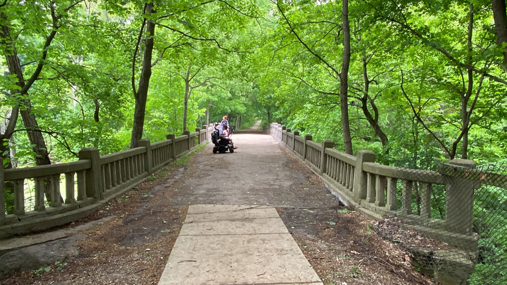
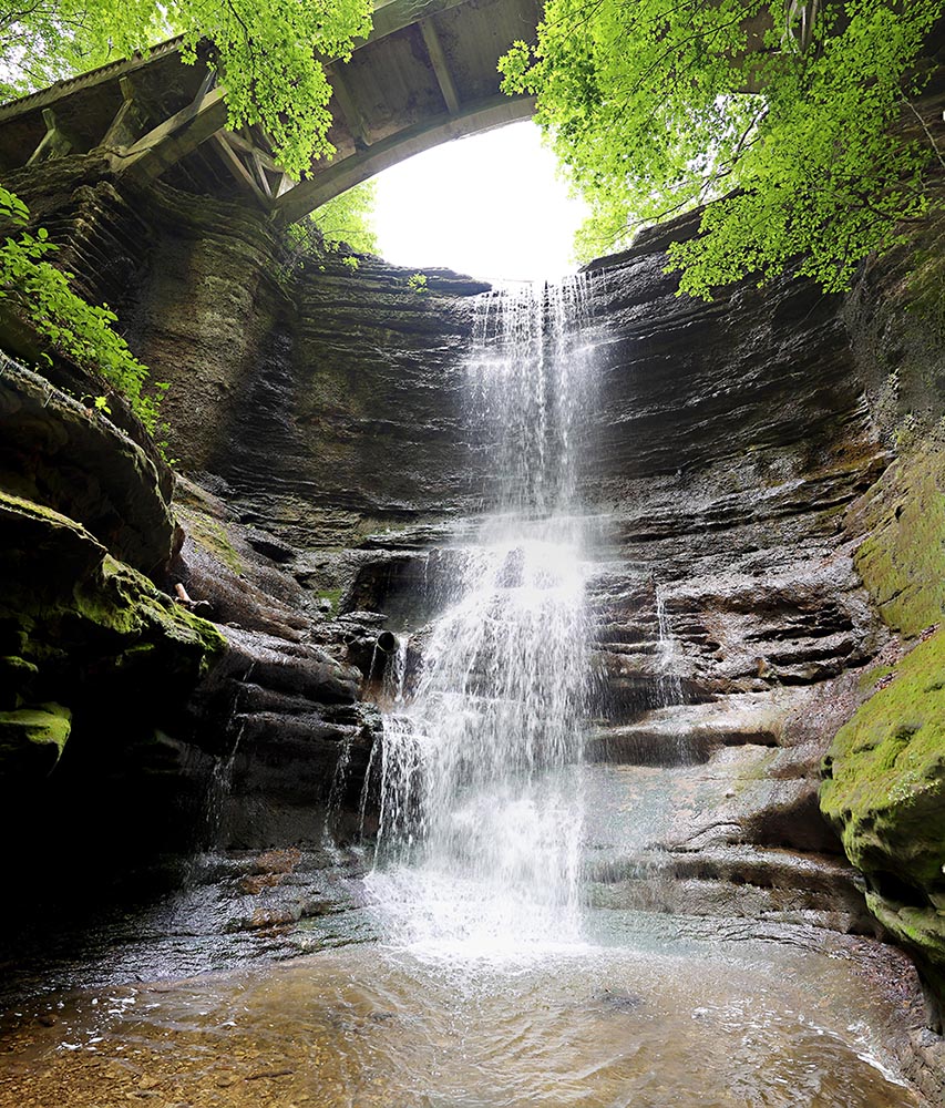
I was delighted to see they had a ramp going down the bridge over the largest waterfall accessible for handicap folks.
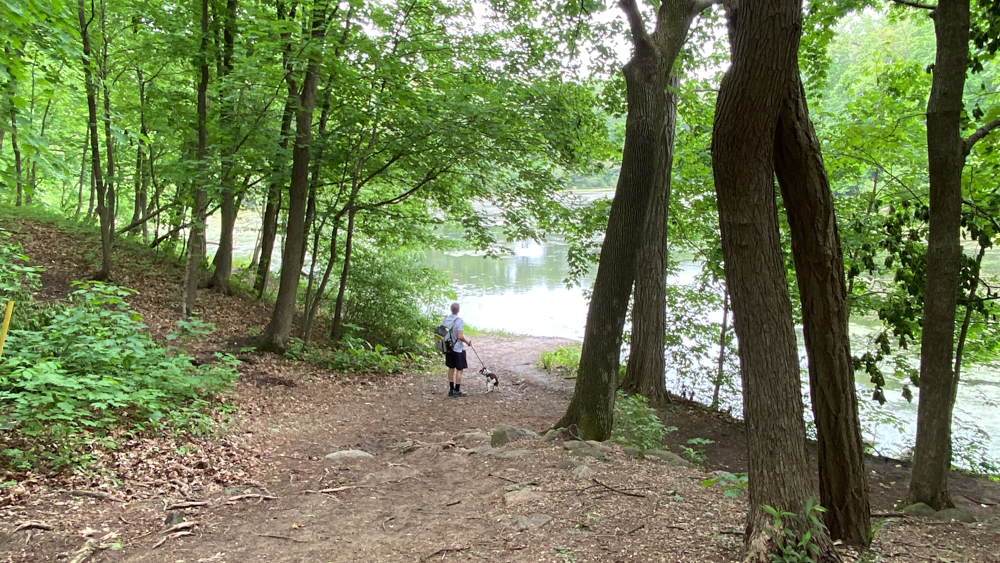
This is the lake that feeds the waterfall.
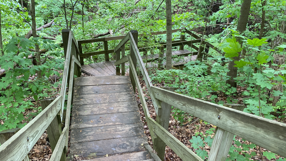
These are the steps down into Matthiessen Lake dell and waterfall. At Starved Rock State Park they call them "canyons" and at Matthiessen they call them "dells." A dell is a "a small valley or secluded hallow, usually among trees." At Matthiessen you can follow the trail around the top edge of the valley and go down into each area to find the waterfalls or you can just walk in the valley getting your feet wet. We figured that out fairly quickly because of all the other folks walking about. We decided to walk in the valley rather than to go up and down the steps and then to walk the trail at the top back to the vehicle. We did only go a short distance and not the whole length.
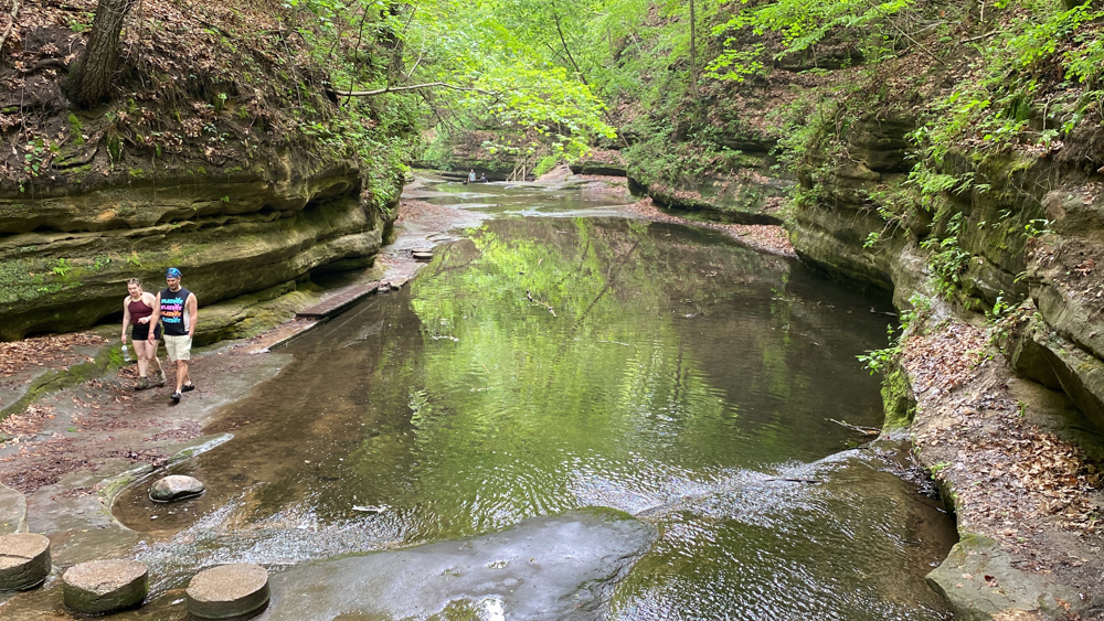
This was my view looking down the dell where we eventually walked on the left side across that plank.
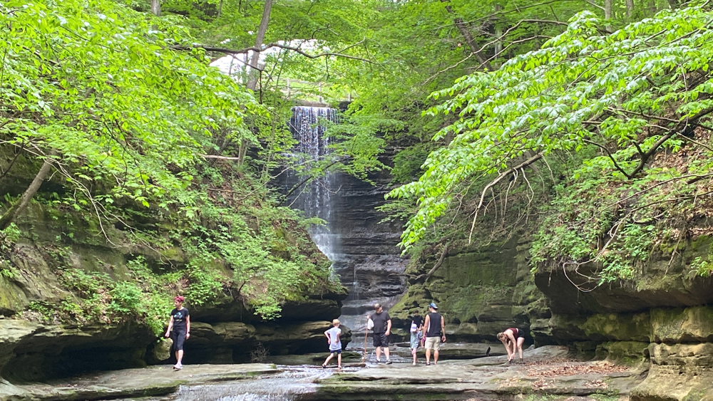
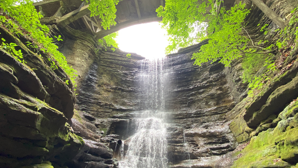
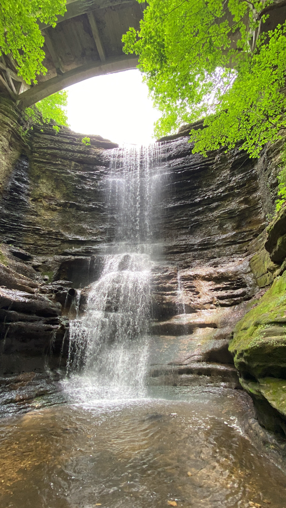
This is the Matthiessen Lake waterfall. From where we parked, as I show in the video above, we were able to see the grand finale first.
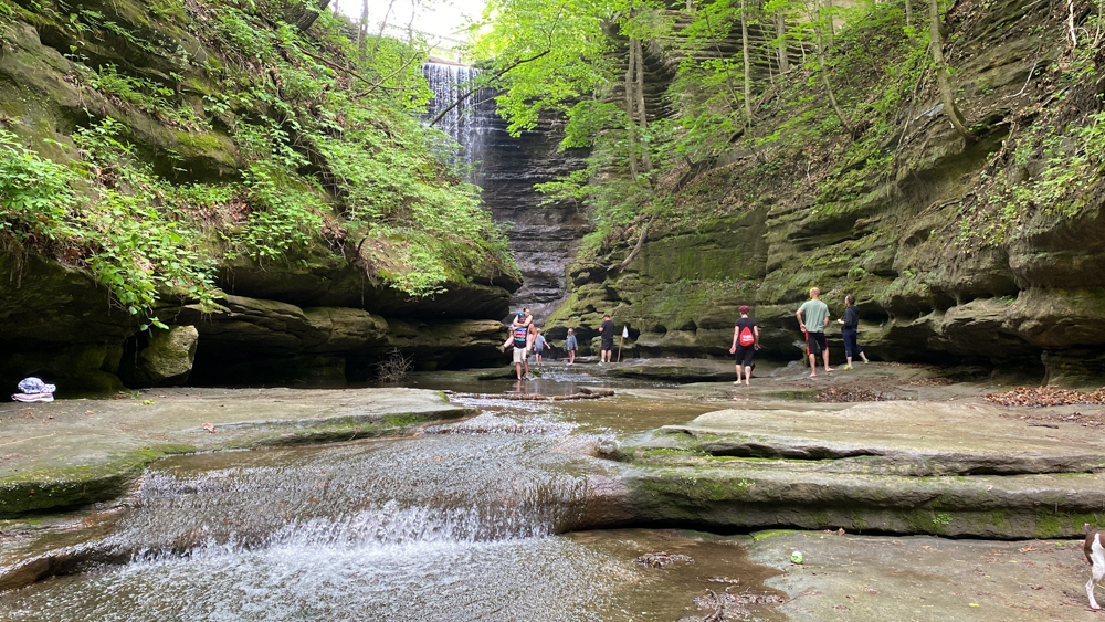
It was hard to take photos without people as the people were everywhere, but I decided I liked it as it shows perspective of size.
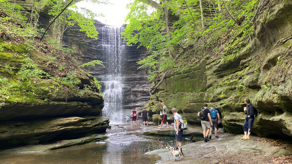
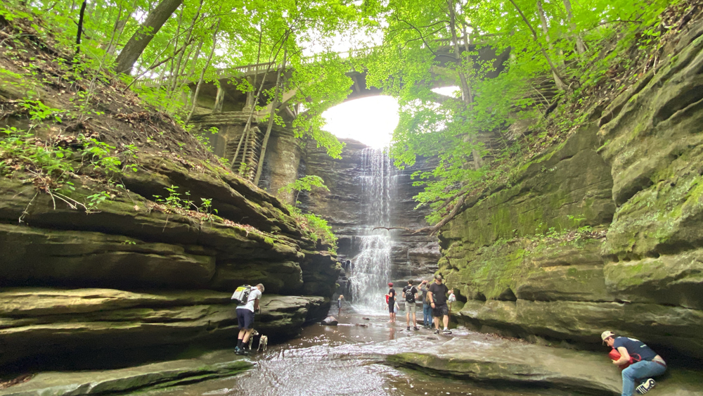
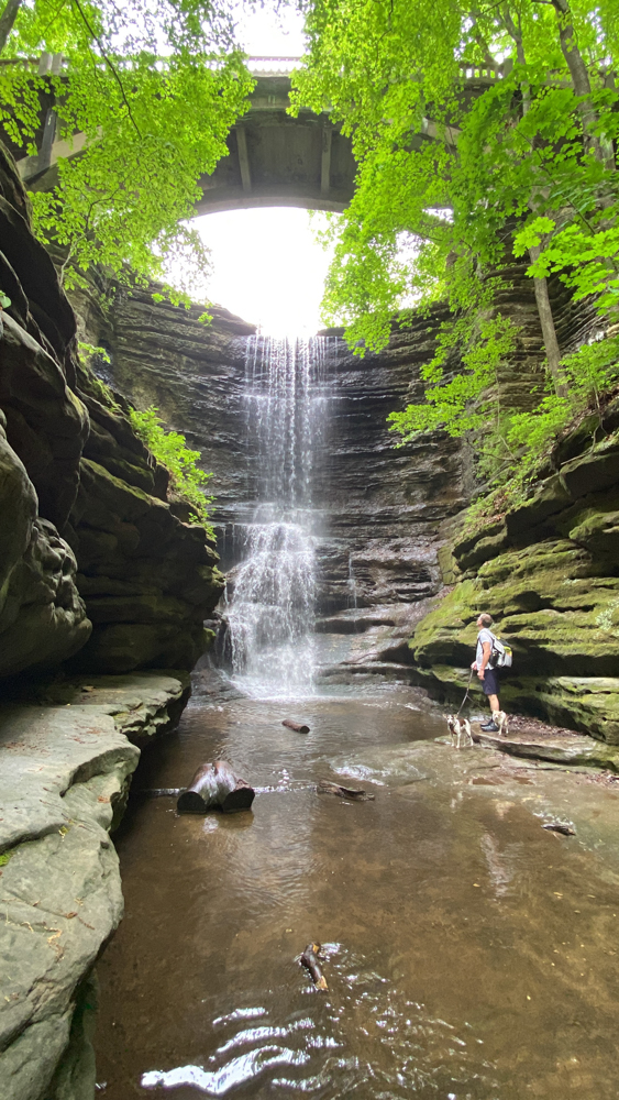
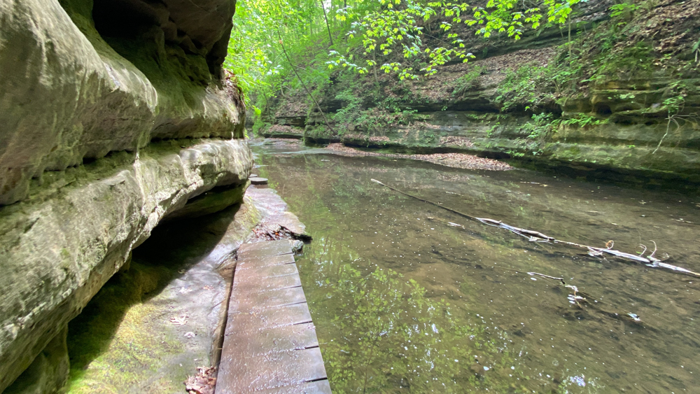
Here is the plank that we walked across to continue downstream. Lots of folks were trying not to get their feet wet because they did not come prepared.
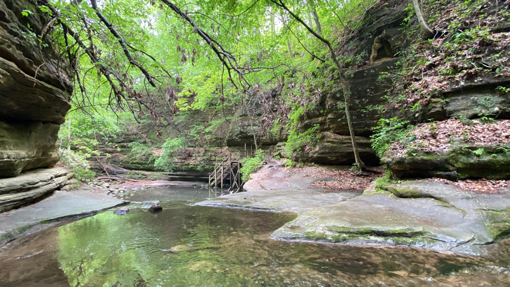
This is when we spied the steps that go down to the Giant's Bathtub.
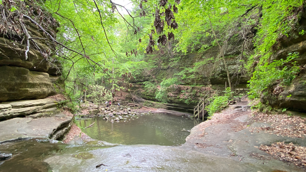
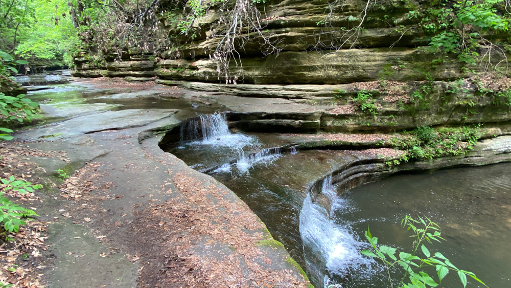
This is the waterfall at the Giant's bathtub.
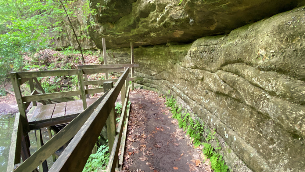
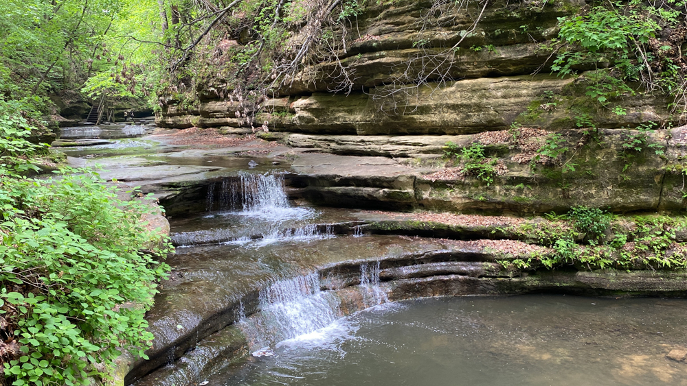
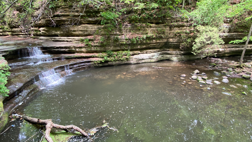
Here you can see why they call it the Giant's Bathtub and that makes me smile.
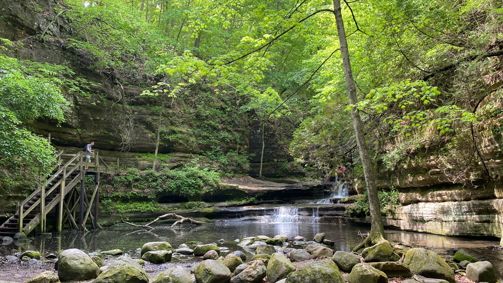
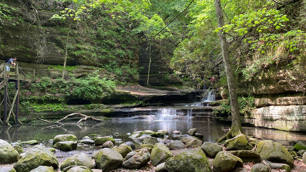
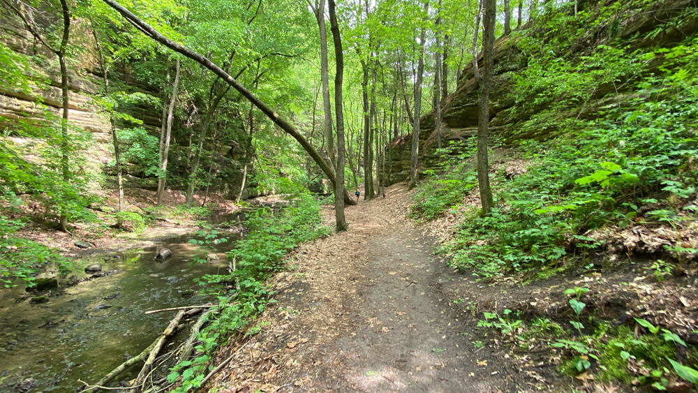
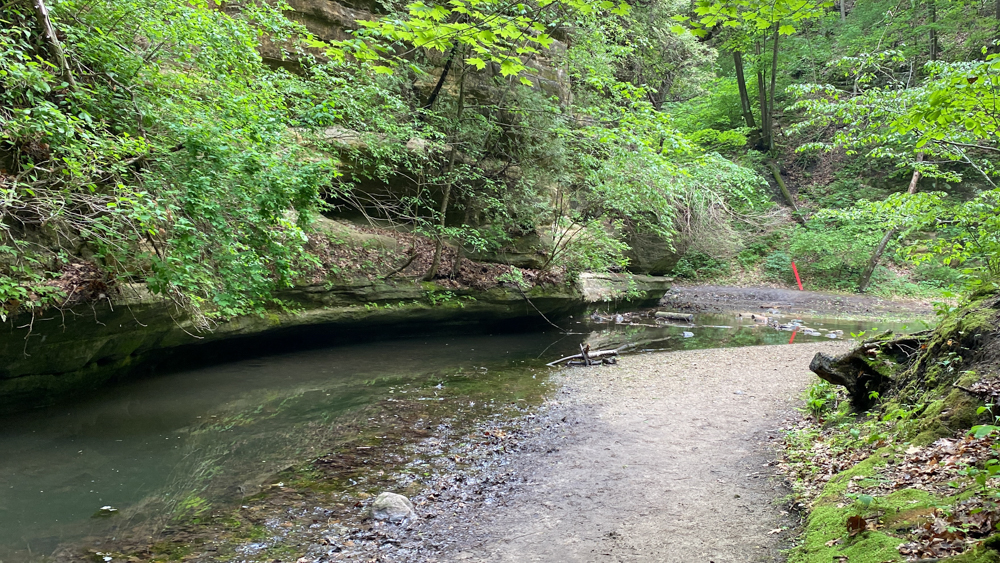
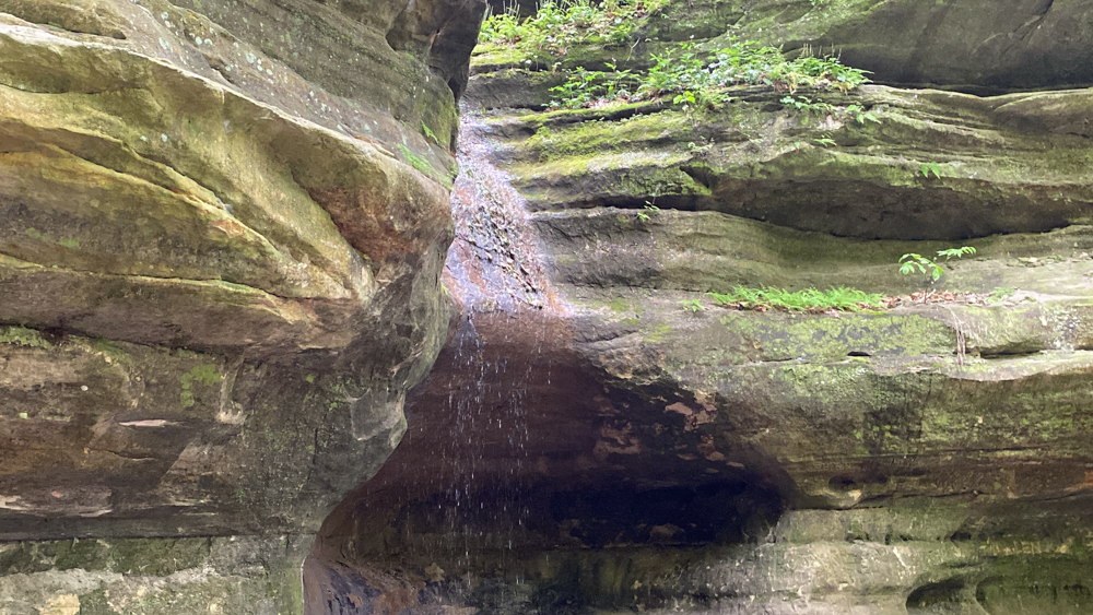
When we reached the steps for the Cedar Point waterfall, we realized most folks were missing the waterfall because it could not be seen. Where the red marker is in the distance is the marker that the trail continues there. I had to listen for the sound of the waterfall to realize the direction we needed to go.
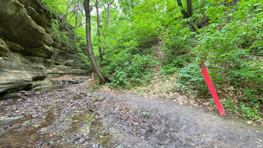
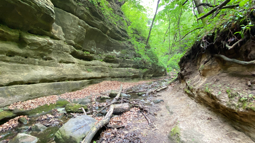
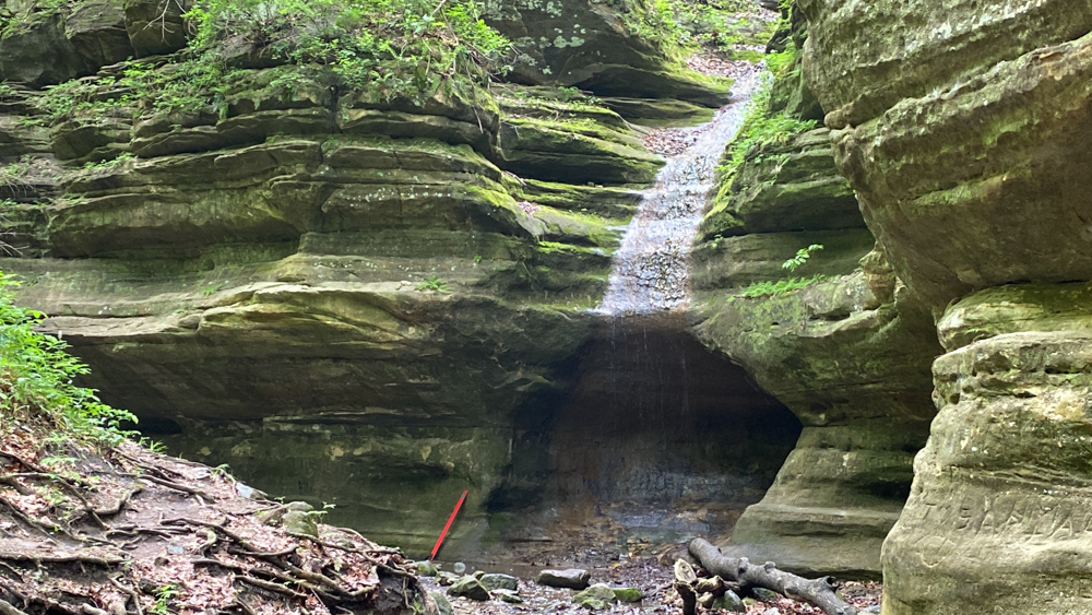
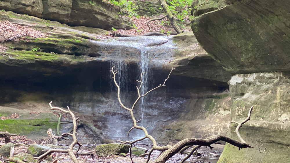
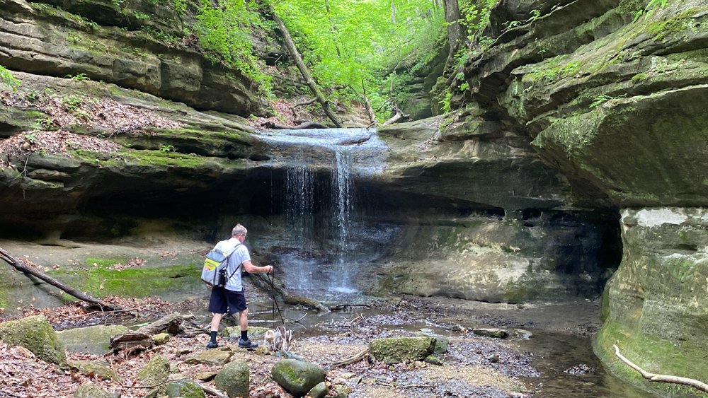
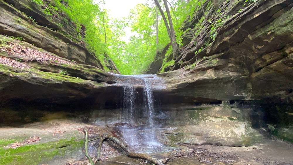
At first I thought the first part of the Cedar Point waterfall was all there was, but then when we got closer, I realized that there were two waterfalls. They did put another red marker there!
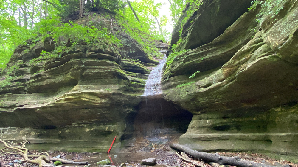
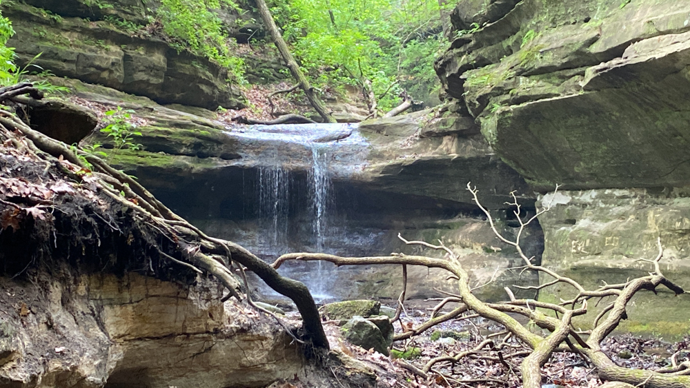
Around the corner was this waterfall, so there were two waterfalls at Cedar Point.
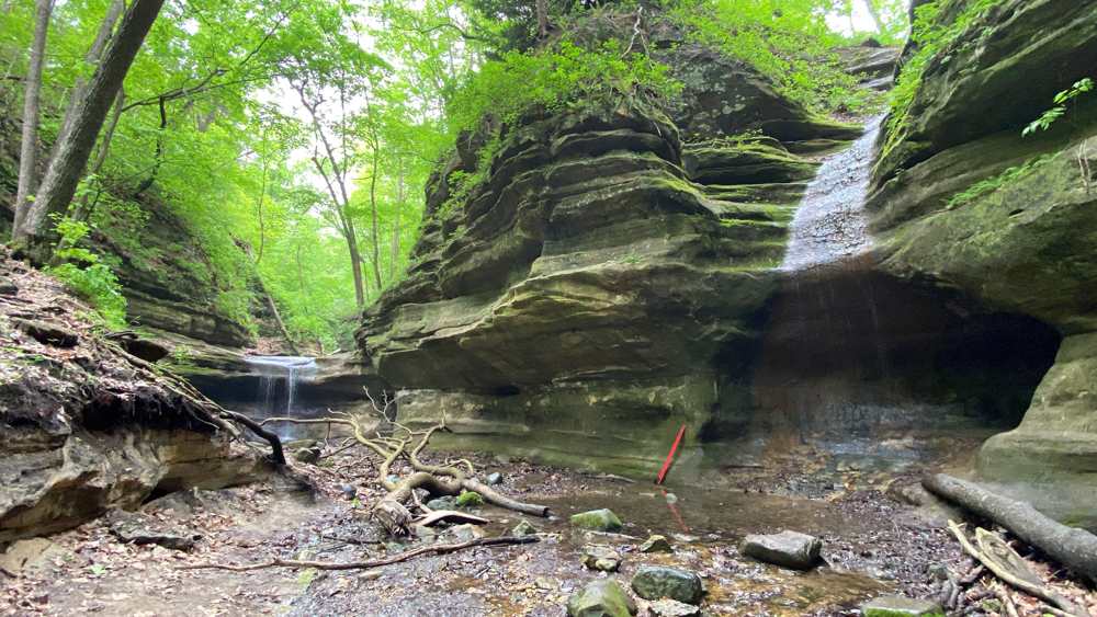
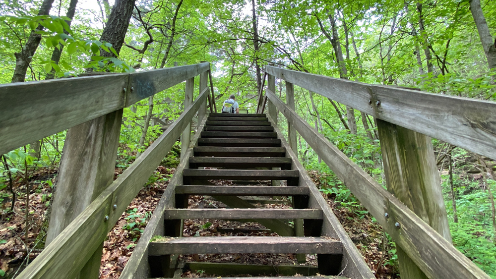
We had already been hiking so much and knew we could not go the whole distance, so we went up the steps to return rather than following the canyon further.
