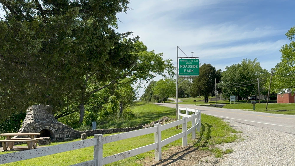
Fourche a du Clos Valley Roadside Park
On our way to the conservation area to camp on May 17, 2025, we stopped by the Fourche a du Clos Valley Roadside Park in Bloomsdale, Ste. Genevieve County, Missouri. This park is off of the Old Highway 61, which used to be the way travelers went from southern Missouri to St. Louis. Before being called Highway 61, it was called the "El Camino Real" or "The King's Road." In Cape Girardeau, where I live, the road is still called "Kingshighway."
We also ate at the Cozy Restaurant in Bloomsdale, and enjoyed ourselves before heading to camp.
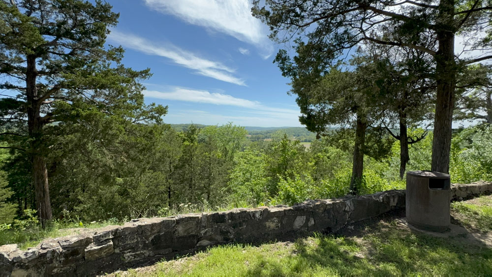
The stone structures feel like the Civilian Conservation Corp (CCC) of the 1930's, being the Works Progress Administration (WPA) that helped men work during the depression.
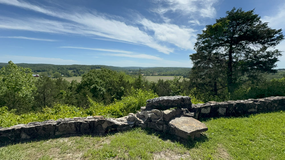
The views are amazing! I could sit here a while. This stone looks like it is set in place just to stand on. We pretended like we were standing on it like on the tip of the titanic.

The old French settlers with the surname "DuClos" (also Declue) owned much of the valley below, hence the name of the park. Fourche a du Clos is translated to "Fork of DuClos" referring to a fork in the stream in the valley.
Another translation gives Fourche (fork) a (at) du (of) Clos (vineyard).


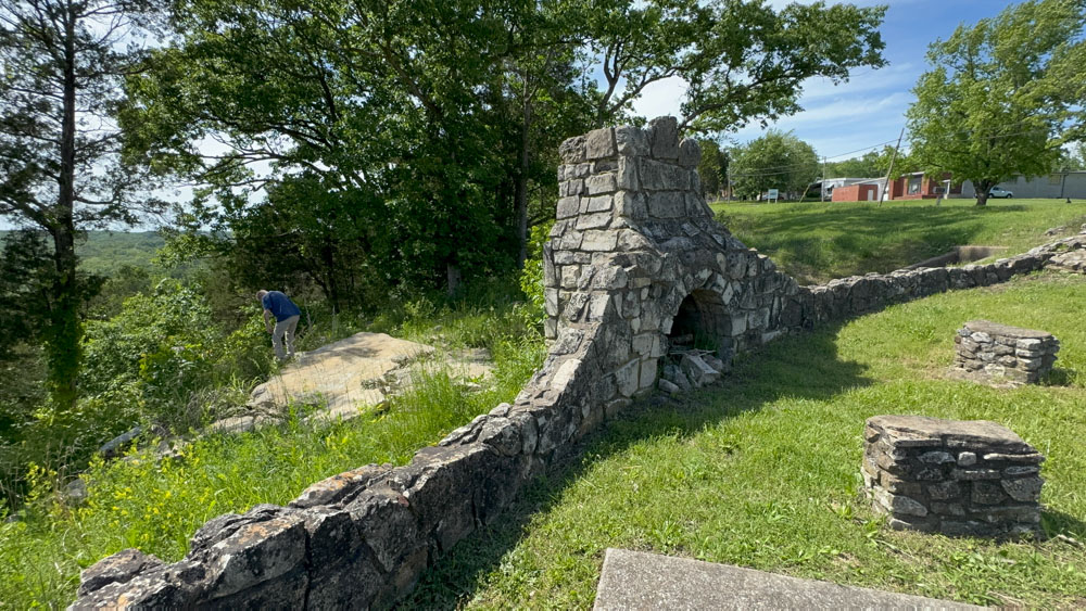
I loved the fireplace stonework with the stone benches in front of it.


While we were there, the Apple Maps car came by! I wonder if some day we will see ourselves standing there on Apple Maps!

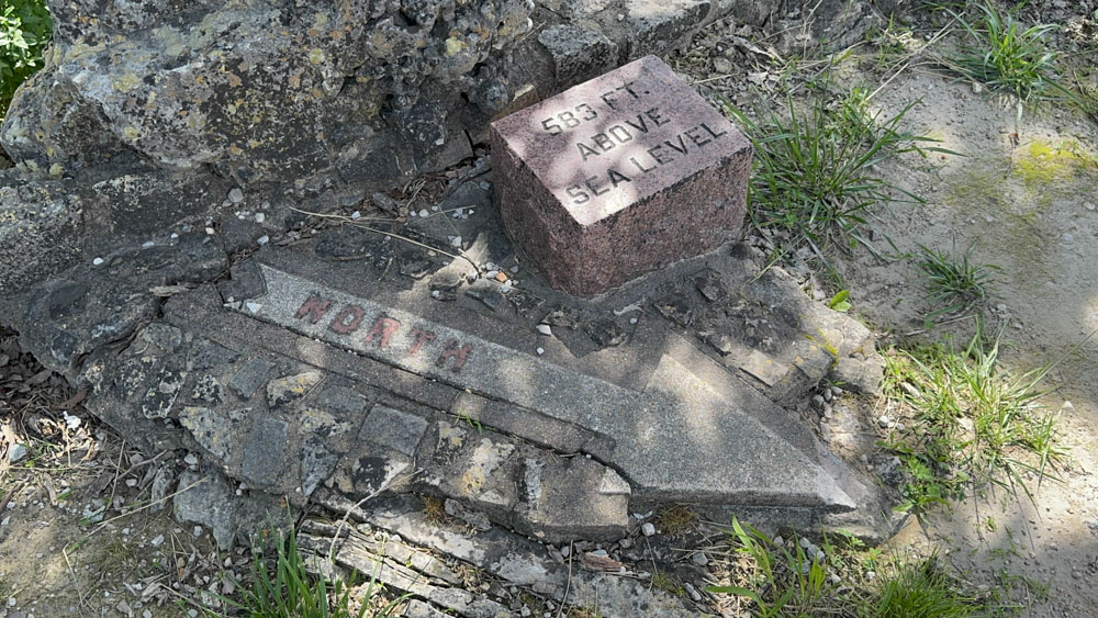
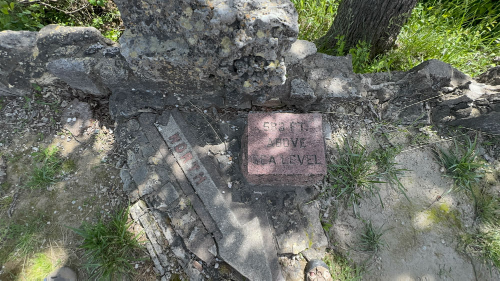
There is a stone which indicates "North" and another stone that indicates that this spot is 583 feet above sea level.

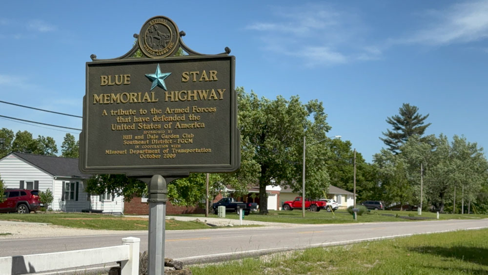
At the other end of the park is a sign for the "Blue Star Memorial Highway" tributing the Armed Forces of America.


Getting a photo of my new camper sitting in beautiful scenery has become a thing.