General Watkins Conservation Area
General Watkins Conservation Area is in Scott County, Missouri. There are multiple streets that lead into General Watkins Conservation Area off of Highway 61 and again off of Highway 77. Watch the video that shows the map and what is at each location of the map.
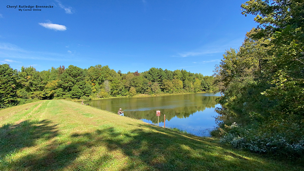
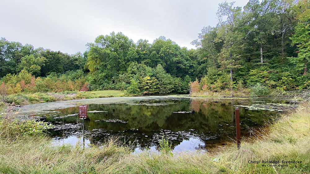
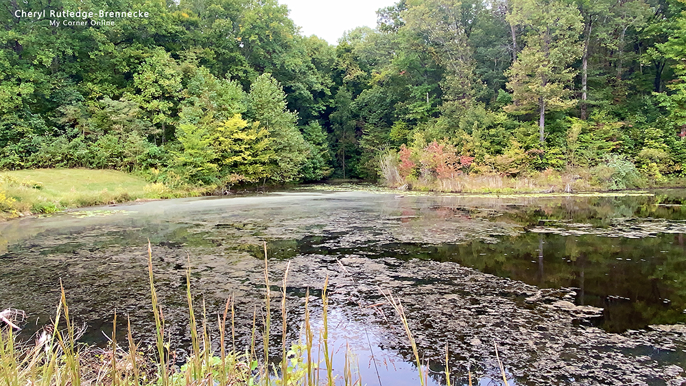
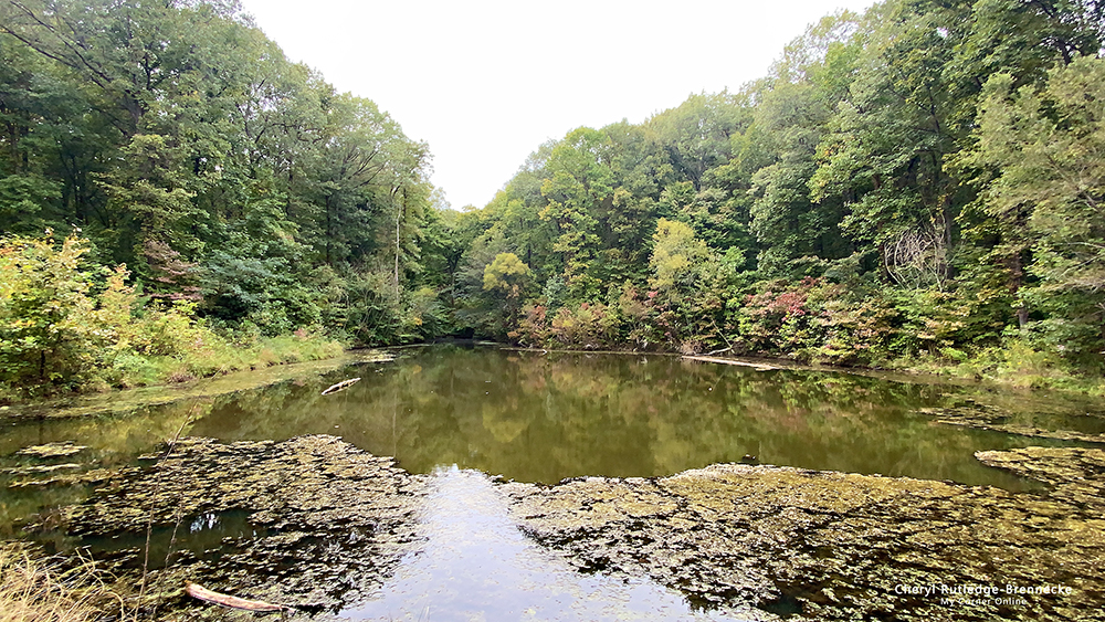
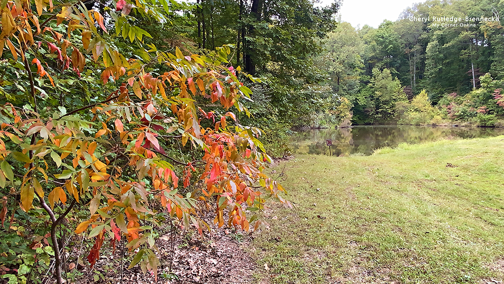
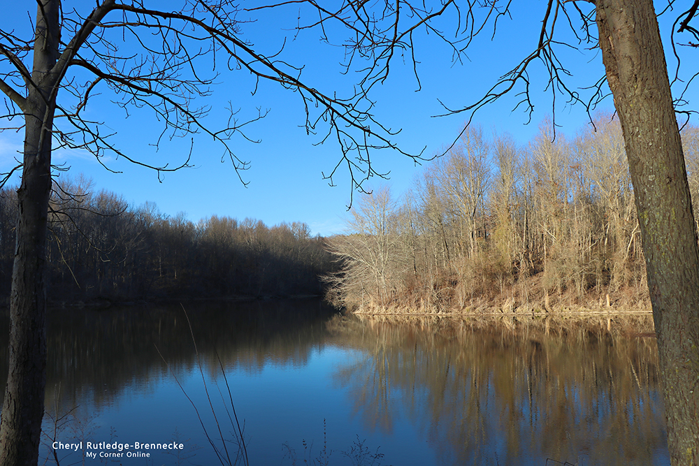
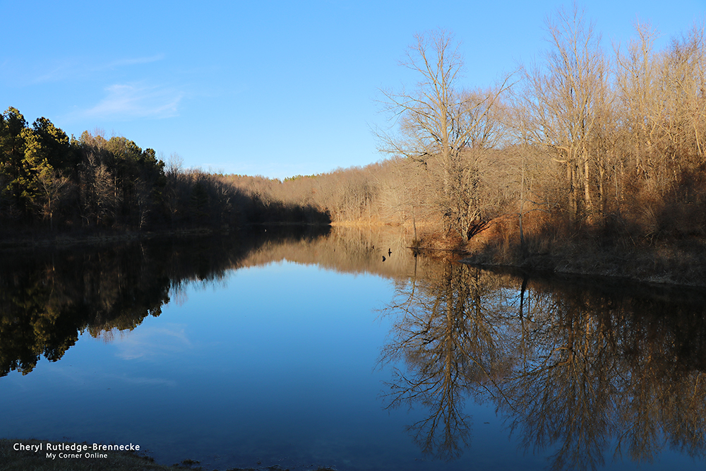
There are two lakes at Schlosser Loop Trail great for fisherman. The trail is 1 1/2 miles long. I do not like to fish, but I do enjoy the reflections of trees in the water. We parked at parking lot A, although we did find some of the parking lots renumbered from old maps to newer maps. This is Lake 1.
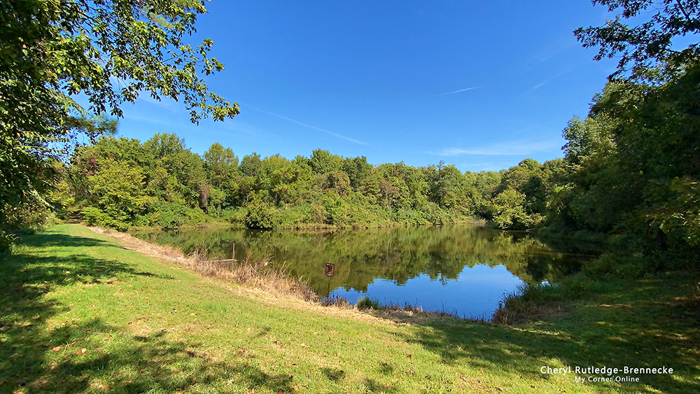
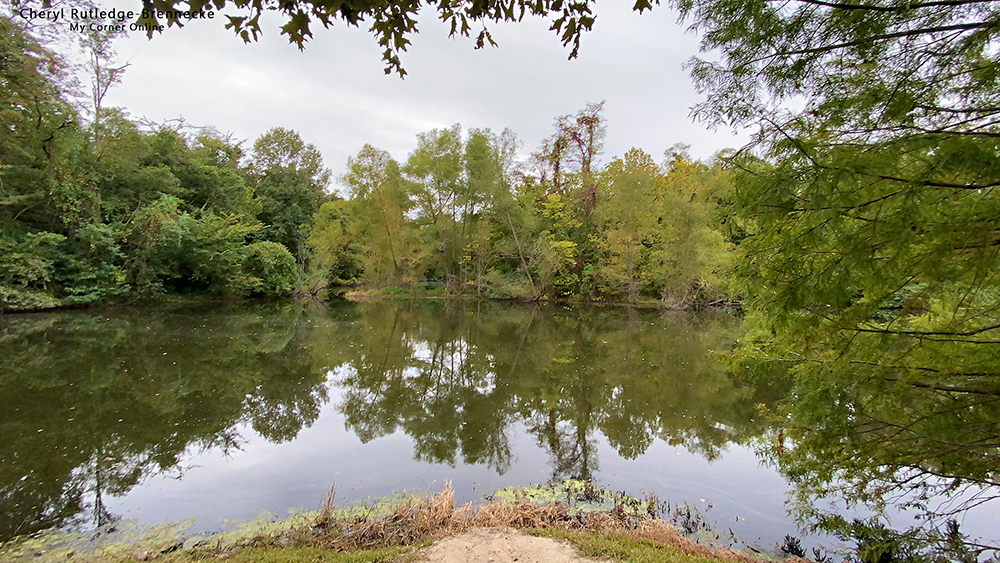
This is lake 2. It looks much like lake 1!
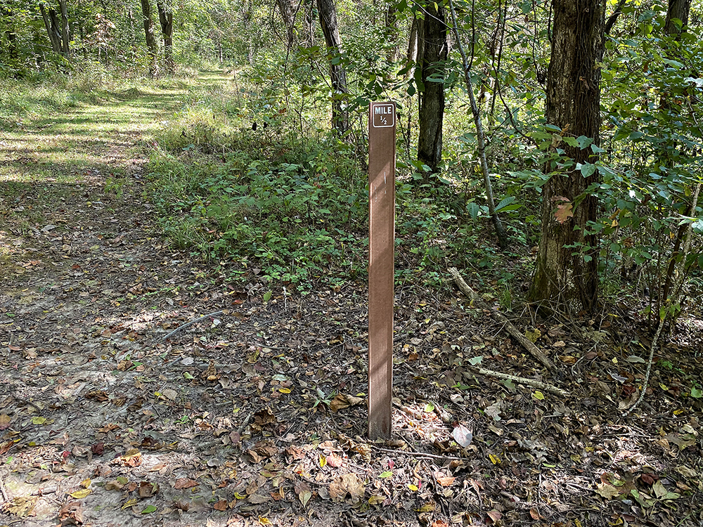
The trail is well marked with mile markers which is nice.
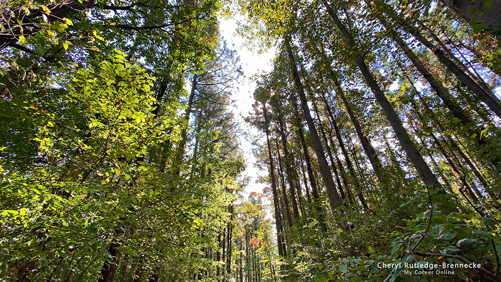
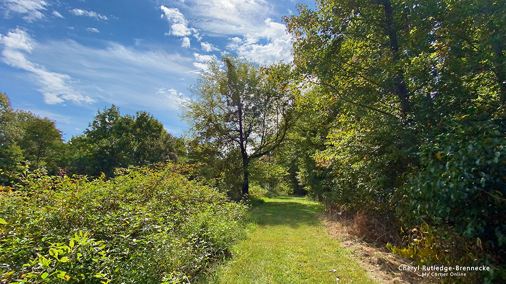
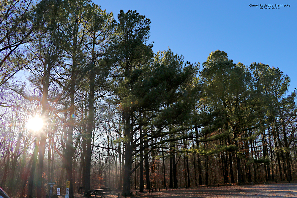
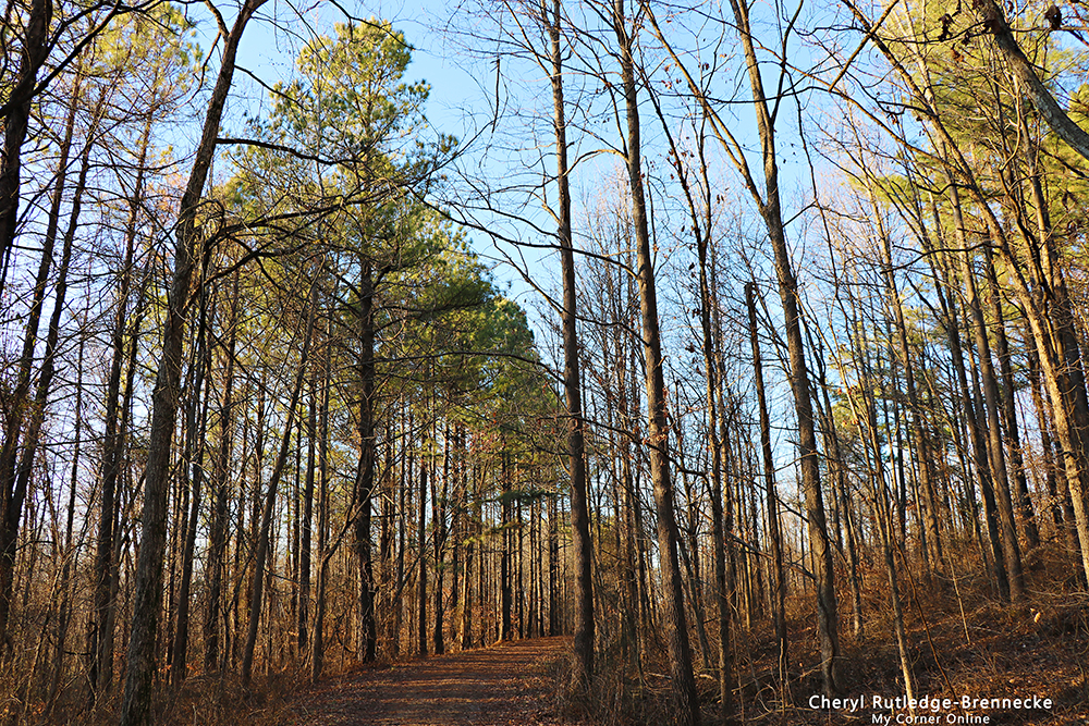
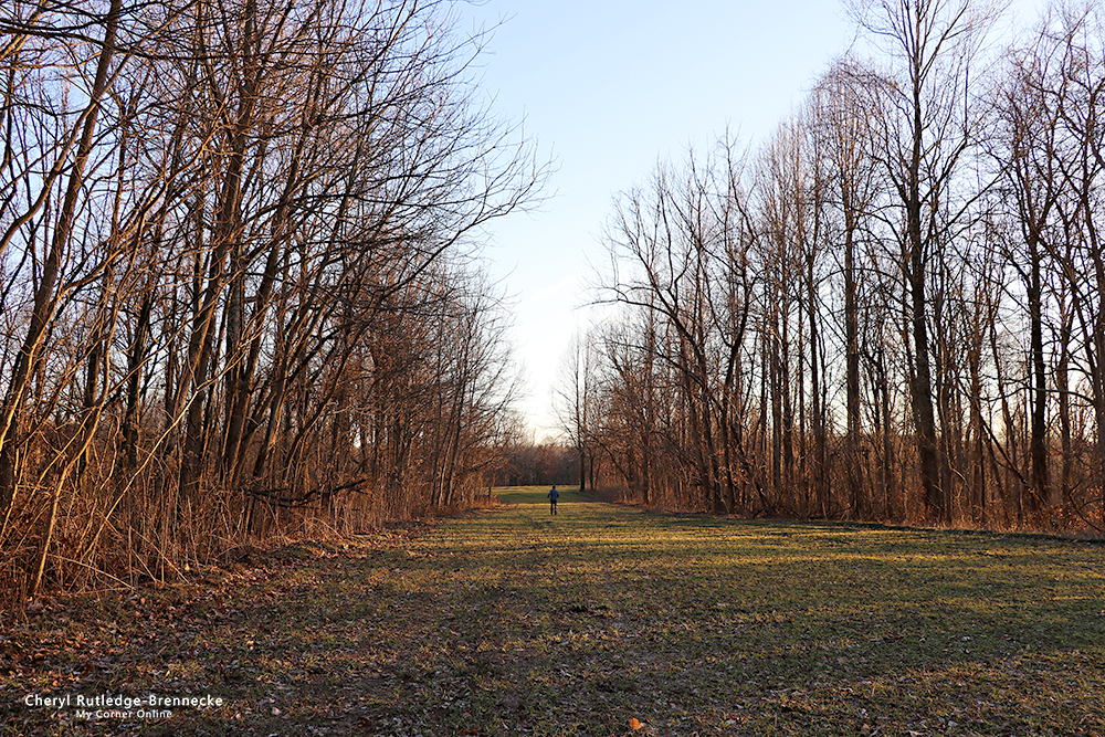
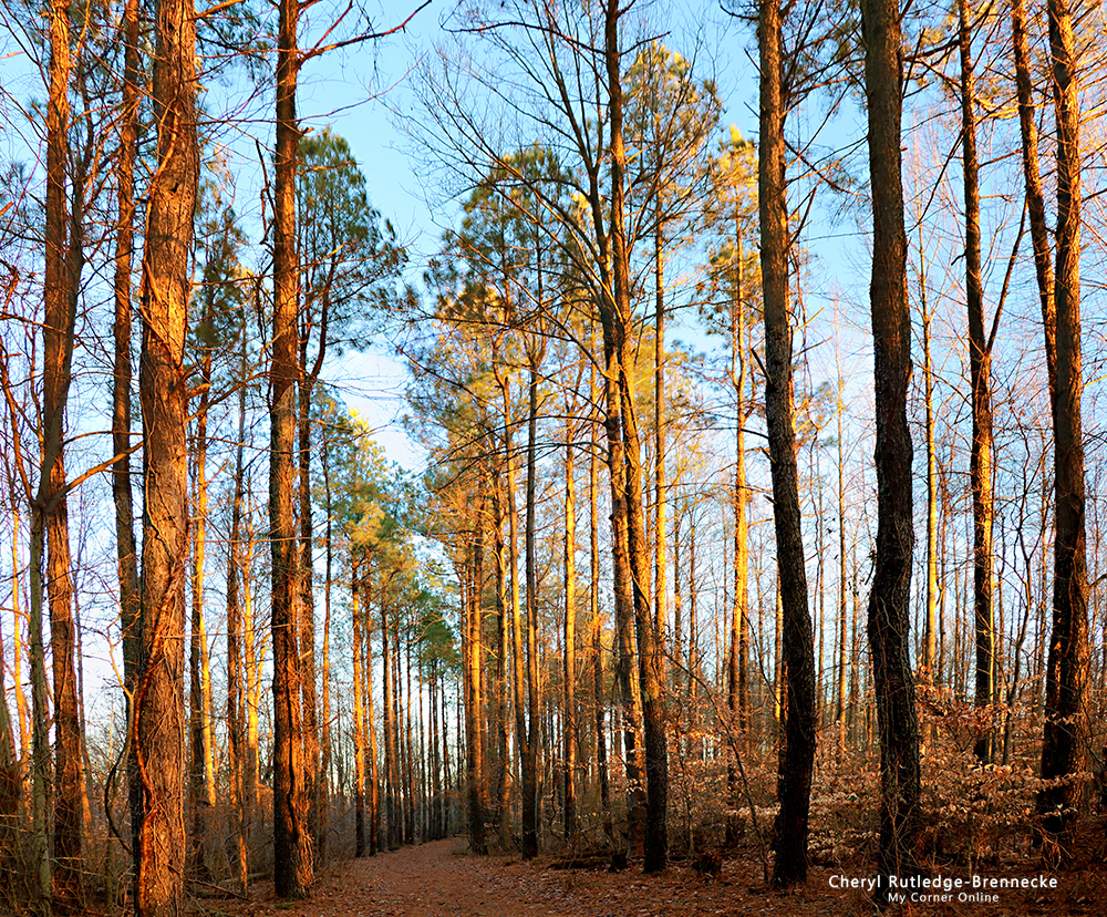
There is one section of the trail that holds my memory from the first time I hiked and it is this area with the tall trees.
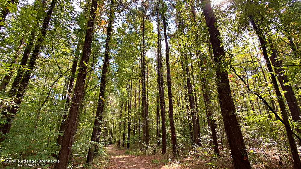
I just love this area! I have to snap lots of photos.
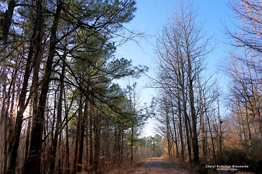
The trail through the trees.
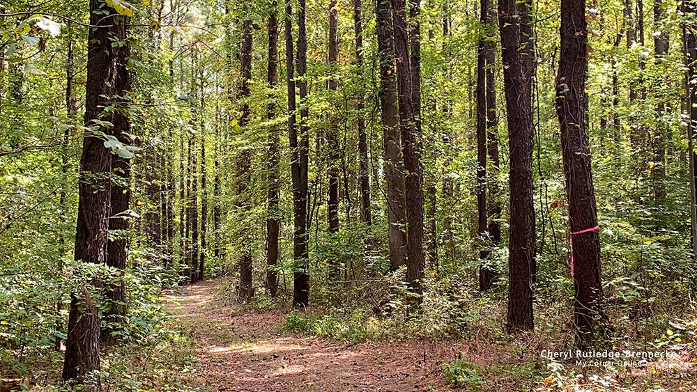
Told ya! I just love this section of the trail.
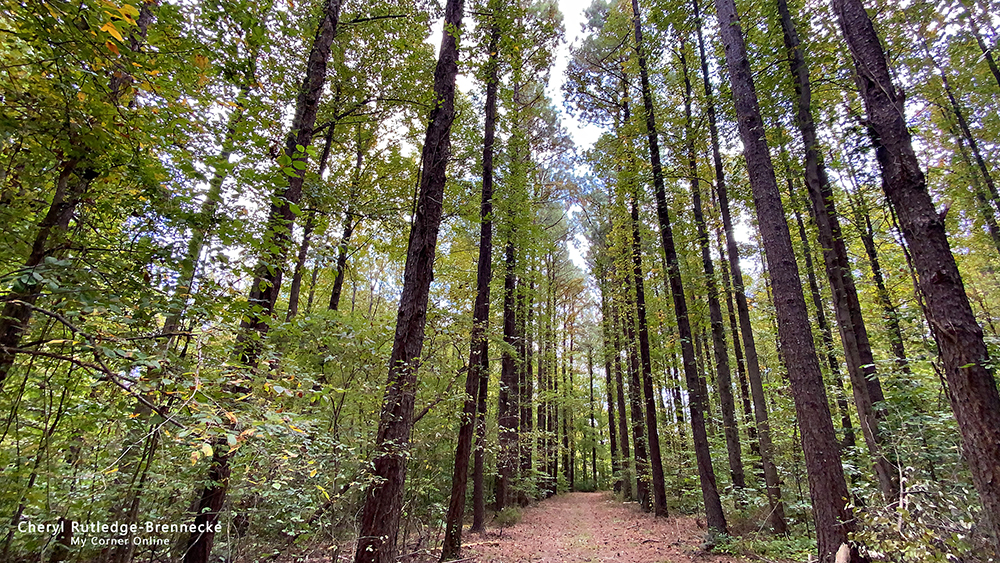
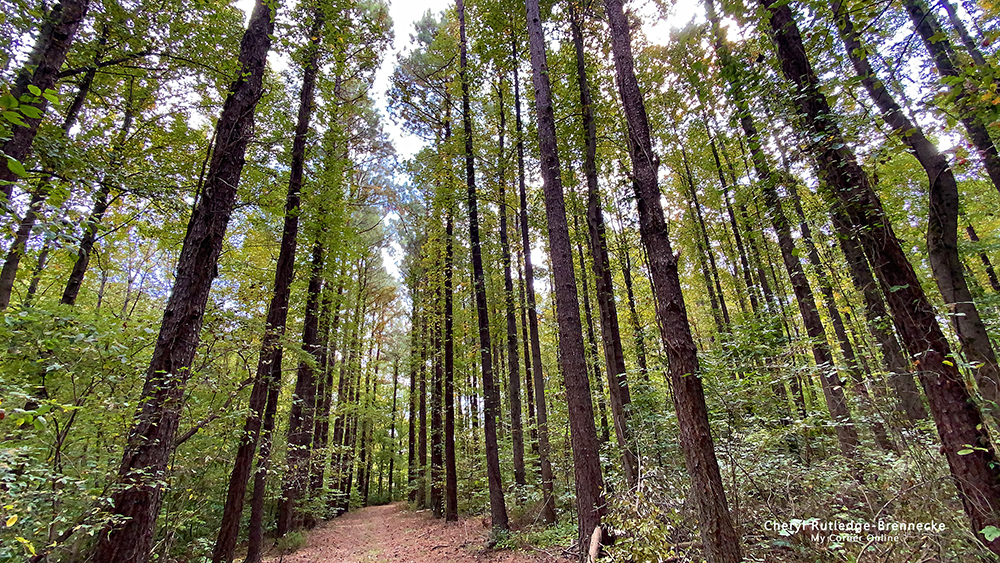
See, even more photos of this section of the trail The tall trees make such a striking seen with their tall horizontal lines.
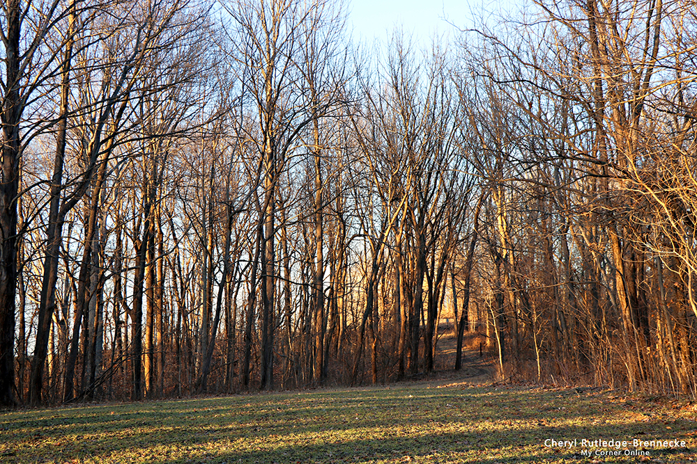
This photo shows what much of the rest of the trail looks like with beautifully flat mown trails.
We drove to parking lot C and Lakes 7, 8, and 9 are down this trail. The water is almost black at Lake 7!
Super black water and Lake 7!
Lake 8 is not the prettiest lake in my opinion!
I loved this bit of Autumn color right before arriving at Lake 9.
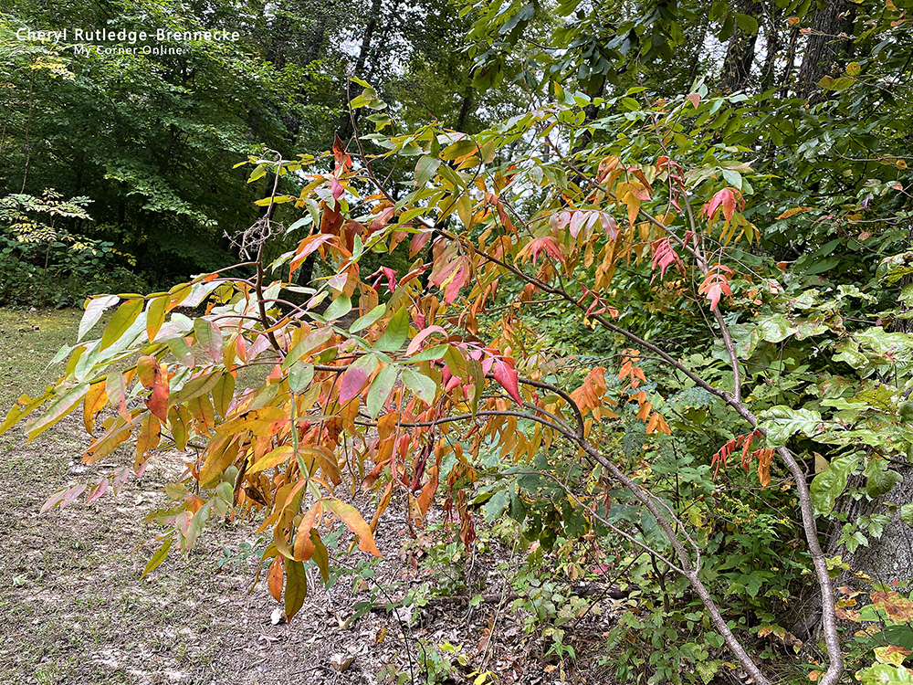
We turned around and went back as it is a short trail, but still enjoyed the bit of Autumn color.
We drove down to Parking lot D (or E) has three lakes, but I see them numbered 3 and 6. There was someone fishing in this lake.
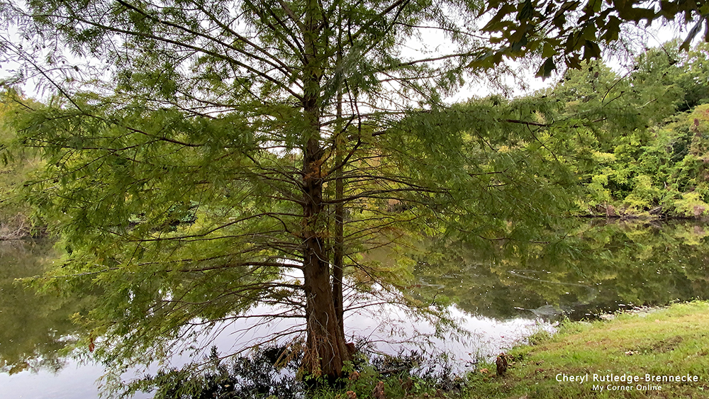
I loved this big pine tree at this lake.
Parking Lot G (or E) is where the cemetery is located and there is a Cemetary Ridge Trail that goes 1 1/2 miles to the County Park Road. (See the video that shares the map really well!)
There is more to explore at General Watkins and we will have to come back as it is do-able from our home. This was our second trip here.
We had tried to find the parking lot off of Highway 77 before, but had failed. This time we found the parking lot but it had begun to rain!
The above photos are cell phone photos, but the below photos are camera photos.
Here are some of my photos from our first trip to General Watkins Conservation Area in 2018. It was a different time of year being July 28, 2018. This photo was taken at the parking lot at Schlosser Loop Trail.
I can see from my own photos I was already enjoying the tallness of the trees with the road.
I found my old blog post that goes with these photos. A man there told me that there were Eagles at General Watkins Conservation area. So we decided to leave and go exploring. It was about 3 p.m. and a half hour drive it would still be plenty of daylight. Three miles south of Benton we passed the first entry to General Watkins before we realized it was an entry. Then we caught a second one and saw two lakes
right off the road. It was disappointing scenery and not photo worthy. The third entry point had the official sign for the conservation area. I am finding it weird there is not just one entry, but so many. It took us up to the cemetery and a trail, but we could see no lake. Eagles hang out at lakes. We notes on the map that down 61 and turning on 77 was another parking lot entry way with a hike to the biggest lake, so we went in search of it, but drove back and forth between Oran, wasting precious daylight. We found finally what we thought might be it
because we saw a conservation boundary marker next to this dirt road straight up hill. I went part way up the hill with some scary moments of possibly getting stuck in the mud and decided to turn around and give up on it.
We went back to the first entry we had missed turning into. A distance down the road we found a nice parking lot and the trail said it was 1 1/2 miles long. The sun was going down in the sky, but we decided we could make it starting about about 4:15 p.m. I was glad we went on that hike.
It was cold and I actually had to put on my jacket I keep in the car. Ah! There was a coupon in the pocket that expired in 2009! Now that tells me how long it's been since I put on that jacket and a clue as to how long I've owned that jacket, being many years before 2009.
At first we followed the trail around the first lake and it was nice to have blue skies and some scenery to enjoy.
But the trail ended. We looked at that map and realized that at the top of the hill the trail continued around the other side of the lake on what did not seem like a trail because it was so wide, like the size of a road and not a trail, with soft grass. It was weird that there was green grass in January. It was a bit soft from the mud underneath too, but that was perfect for my hurting feet. It was a nice trail and I think I want to go back when it greens up and walk it again and take my time going off down all the side paths. We went down a few to explore, but with the sun setting, we did not want to get caught in the dark. That mile and a half seemed very long. After dancing last night and being on my feet so long today, my feet were really hurting. I've been on them at least 6 hours in a 24 hour period, much more than my max for my feet.
I actually found a second writing about our General Watkins trip in 2018. I think this one was for a newsletter and it is written more entertaining.
As part of our cabin-fever combatant get-out-and-enjoy-the-blue-sunny sky adventure on Sunday, we went to General Watkins Conversation Area located 3 miles south of Benton. The area is a bit confusing with 3 places to enter from Highway 61, but only one being marked with the familiar big brown "you're here" sign. We tried to find the parking spot on the map from Highway 77, but our
adventure proved to be a waste of time. However, when we arrived at the first entryway off Highway 61 which we had done that "oh! we
could have turned in there!" fly-by, we found ourselves on a lovely one and a half mile hike around a few lakes. In the parking lot the sun was getting low in the sky, making us think twice before heading out, but the lure of sunset lighting in photo opportunities was too strong.
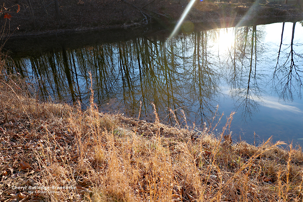
The pine trees embraced by the blue sky and complimented with the yellow of deadness made me realize how beautiful Winter can be if you just take a moment to get outside. I was surprised at the green underfoot as it is too early for grass to be greening up. I loved the reflection of the trees in the water.
We first followed the path around the lake until it ended, only to look at the map and realize the path was at the top and actually wide enough to drive a car down. It made for a unique experience and the soft semi-mud under the grass was great for my hurting feet.
We came upon open fields and went down a few to explore, but not all, making us want to come back when we have more time not racing the sunset.
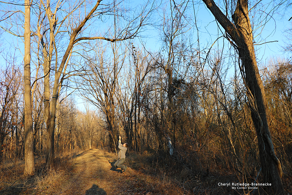
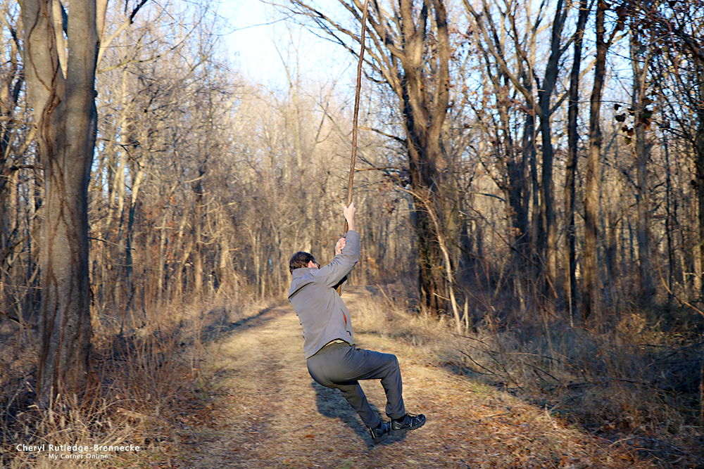
Oh, the vines were fun and hubby had to test all of them to see if he could swing, reminding me that we shoul never grow up.
This is the area I remember vividly that I did not go down because my feet were hurting and he went down to check it out and told me about it looking over the lake. In 2020 I looked for this section and could not find it!
I remember this scene in 2018, but do not remember seeing it in 2020. It makes me wonder!
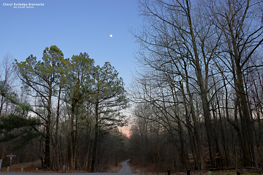
As we were leaving the scene of the road with the moon directly above was a delight.
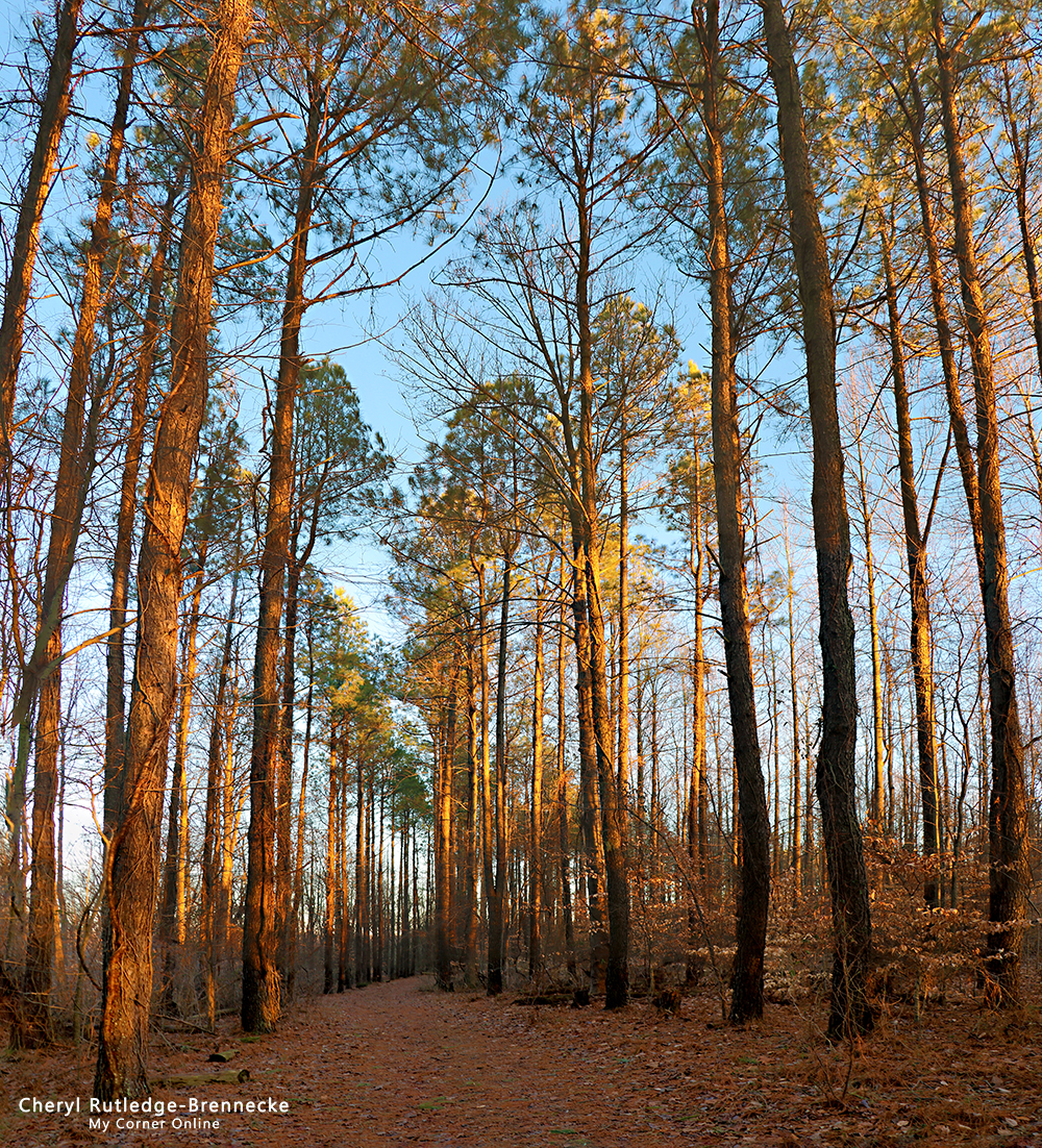
Apparently the trees look too tall in the one photo to be realistic. That photo is 3 photos put together into a panorama to show how tall the trees really were before my eyes! Ah! I guess I should share the one photo shot.