Lower Taum Sauk Lake
Mid-July in 2020, we had a most fabulous vacation centered around Sutton Bluff Recreational Area where we camped. Nearby at Centerville we visited the Black river underneath the highway underpasses. We have have spent the entire day wallowing in the river there. Then we visited Reeds Spring Mill in Centerville. We visited the Lower Taum Sauk Lake as we drove around exploring. In far-out-and-away-ville we visited Cooks Spring. Finally we visited a remote camping area not far away with a view. We also visited Lesterville Conservation Area and found it to be nothing exciting for us.
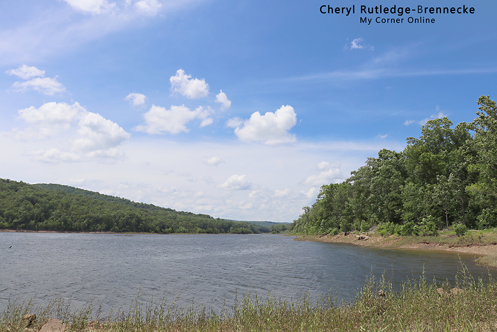
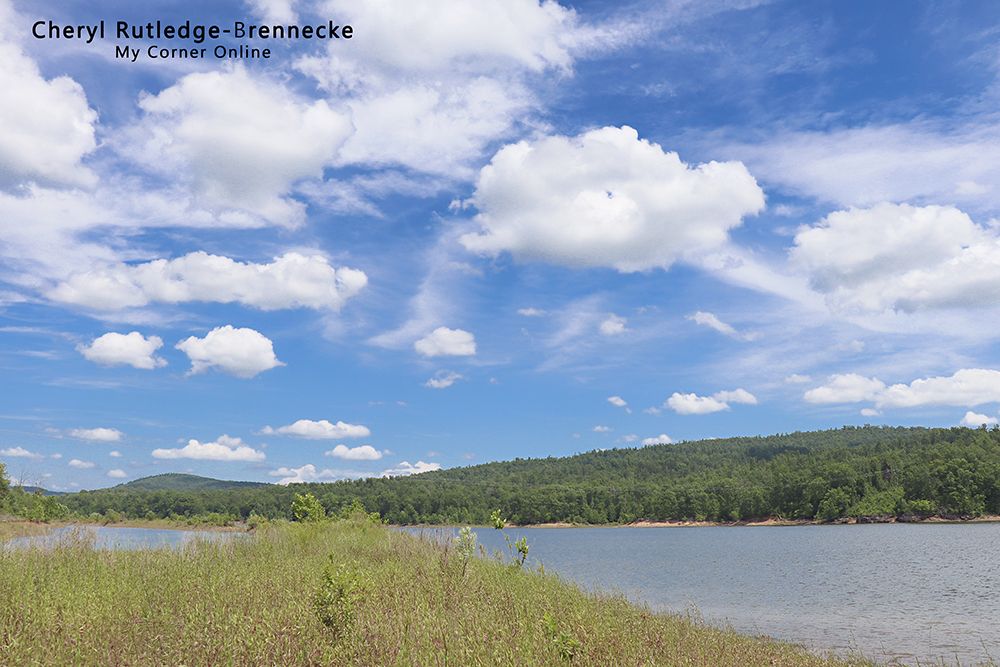
This is a photo looking to the right from the parking area.
There is a map of Lower Taum Sauk Lake on the Conservation Department's website, but I do not see a website page for it. The lake is connected to the Black River. We did see a campground which was empty on the main road before turning down to go to the lake. It looked like a quiet place to get away for those who like to rough it.
I had seen a sign from Lesterville, and since we were visiting Centerville, I decided to go exploring and drove to Lesterville and turned down the road for the sign. From Highway 21, we turned down Highway U which turned into County Road 204. It is all on the same road, but there were several left turns and the GPS took us there. It is about 7 miles from Lesterville.
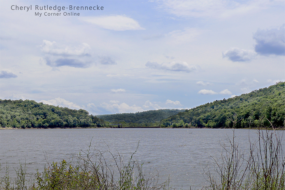
I could not quite tell what was across the lake, but it appears to be a dam. It would make a pleasant boat ride.
The lake seemed a great place for a quiet fishing spot for those who like to fish. This is a view looking to the left of the parking area. I enjoyed walking around the grassy area at the end of the parking area because the view was ever changing with the beautiful St. Francois Mountains and the blue sky.
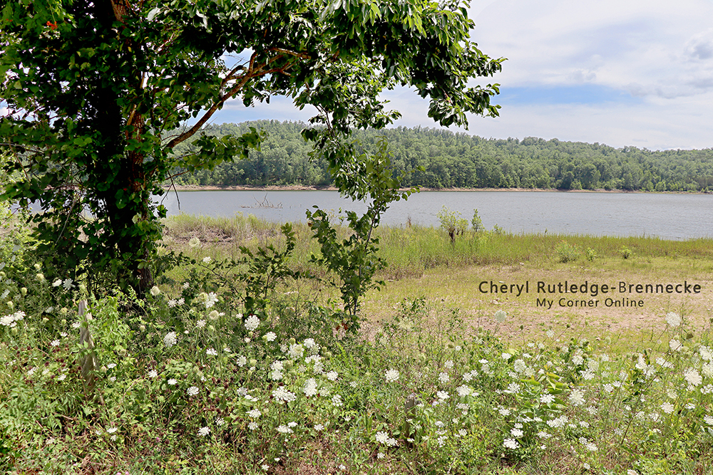
Since we were there in July, the Queen Anne's Lace was blooming and creating such a lovely composure for my camera lens.
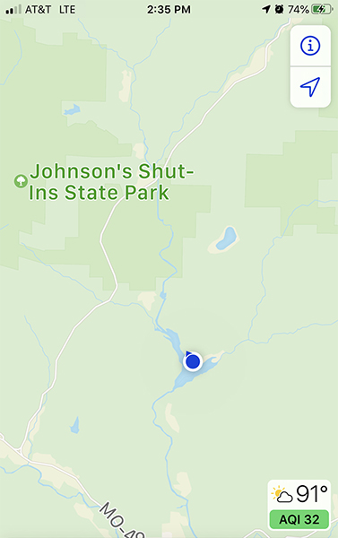
Sometimes I like to take a screen shot of my cell phone from the location of my photos. Here you can see the relationship of where I stood while taking these photos to Johnson Shut-ins. You can also see it was 91 degrees at 2:35 p.m.! On December 14, 2005, I remember the news of the Taum Sauk upper reservoir breaching with water pouring down the mountain and into Johnson Shut-ins, destroying everything in its path. Johnson Shut-ins was closed for many years and when it reopened, it looked totally different without all of the trees. I believe Ameren US owns the reservoir and dam. The Taum Sauk Hydroelectric Power Station is where the upper Dam is located and it is between the blue dot and the State Park in this screen shot.
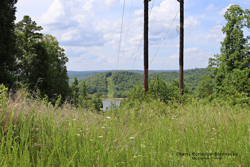
Along the drive up to the lake, there were some amazing views. I pulled off and enjoyed a few of them.
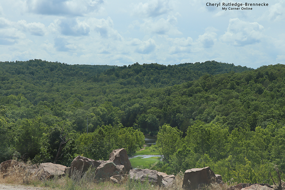
I love how you can see the meander river in the valley from this roadside view. Remember to take the time to enjoy the little things in life. Seek them and take them in.