Columbia Bottom Conservation Area
Columbia Bottom Conservation Area is located at 801 Strodtman Rd, St. Louis, Missouri, in north St. Louis County above St. Louis, near Spanish Lake and the Missouri River where it meets the Mississippi River. We visited on July 7, 2018.
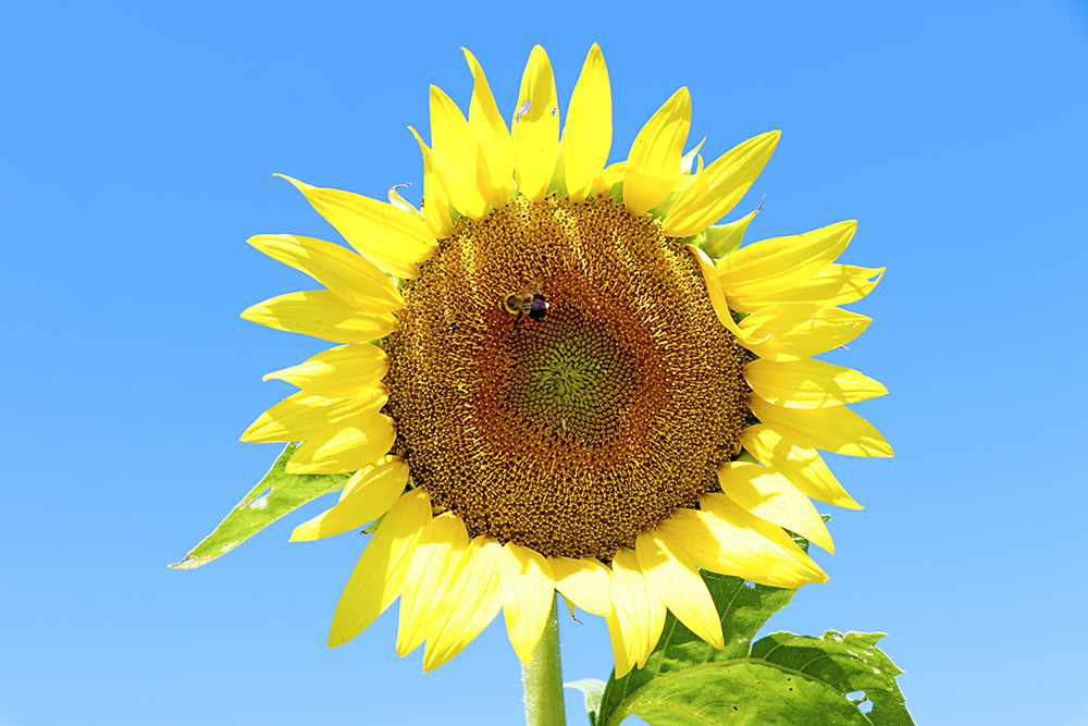
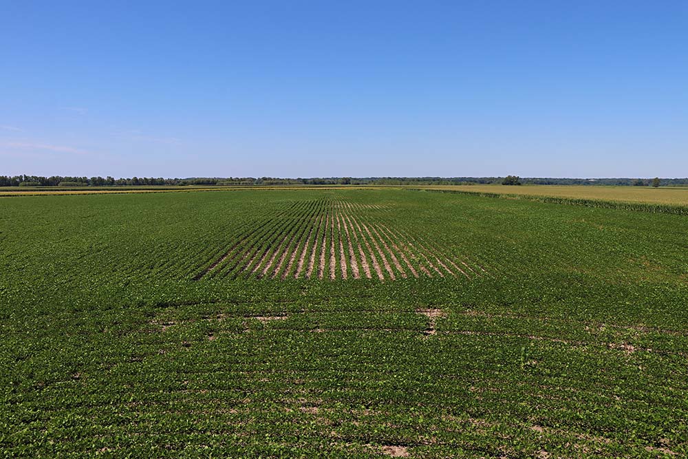
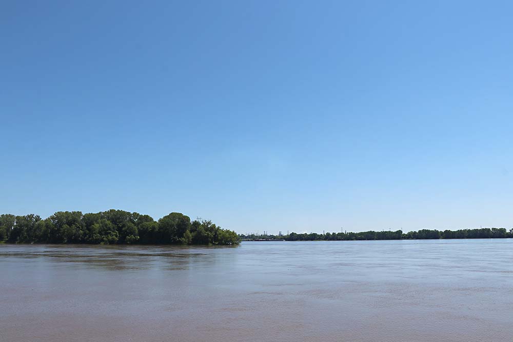
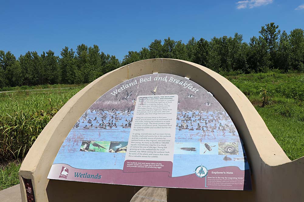
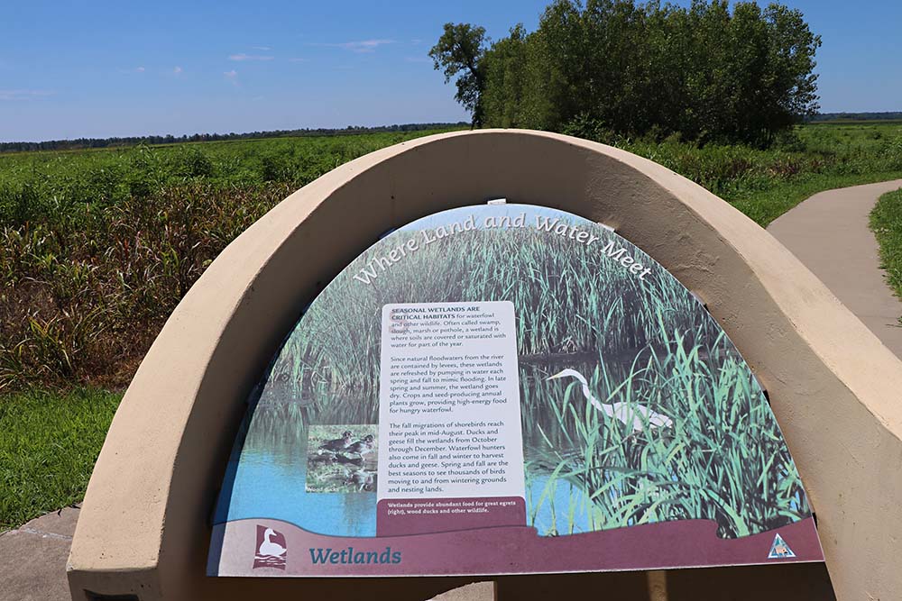
There is much to see at Columbia Bottom, including natural areas of wetlands, forests, prairies and croplands. The area includes the 110-acre Duck Island on the Mississippi River and more than six miles of river frontage. Driving through there are 8 exploration stations to view habitats. The confluence of Missouri River and Mississippi River can be seen from the Confluence Viewing Platform at the end of the road. There is also a visor center to explore. Columbia Bottom is well known for the annual blooming sunflower fields.
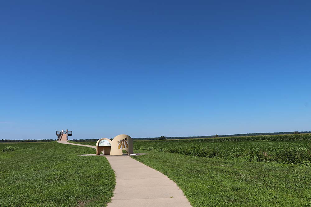
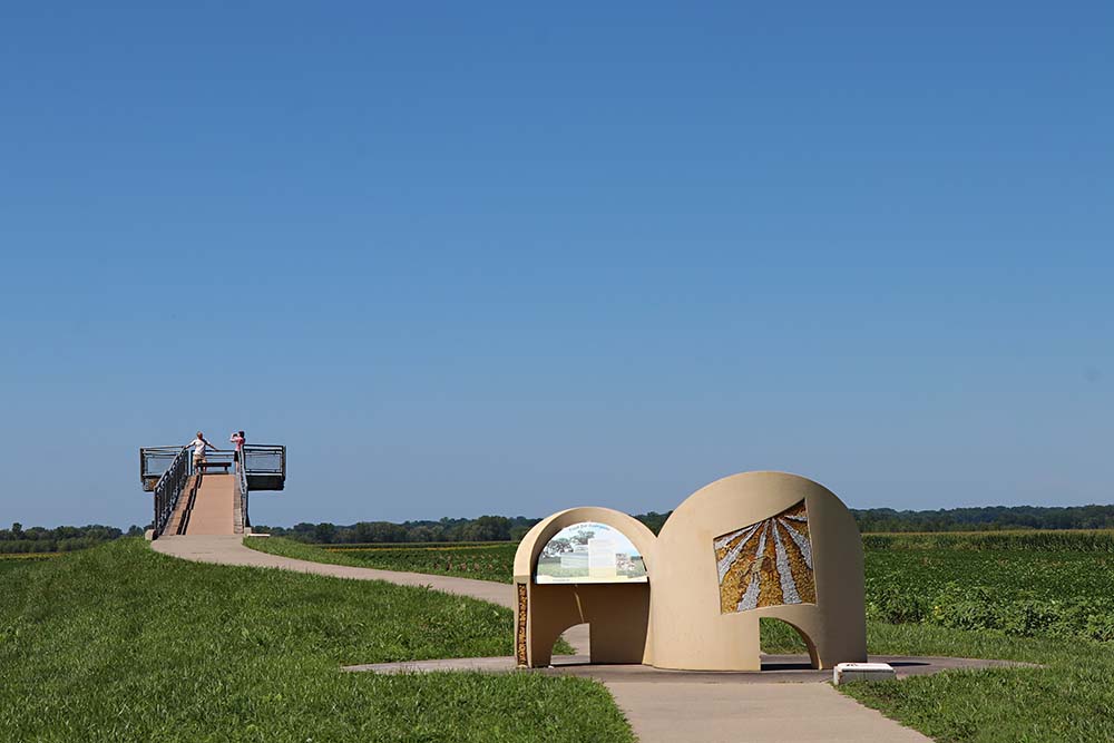
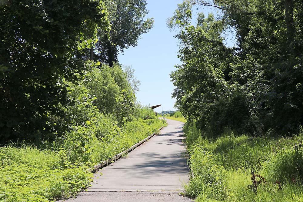
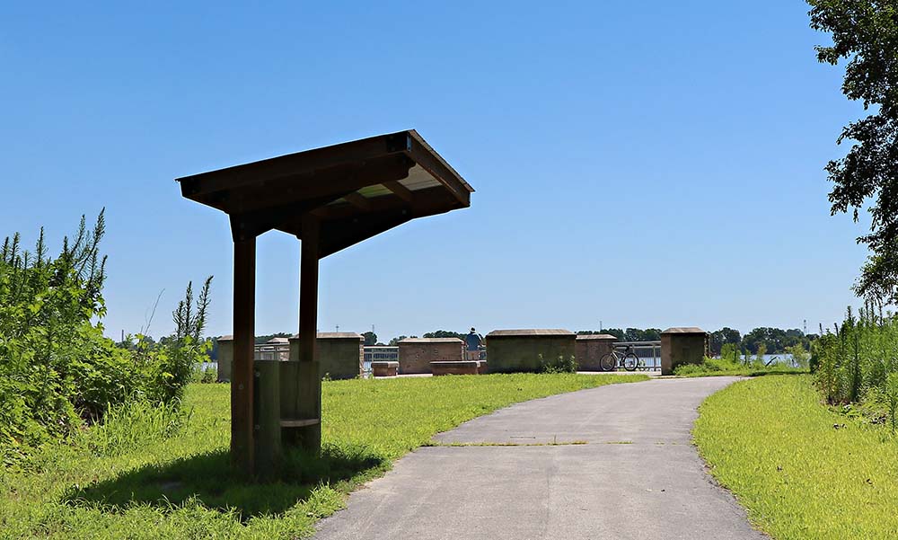
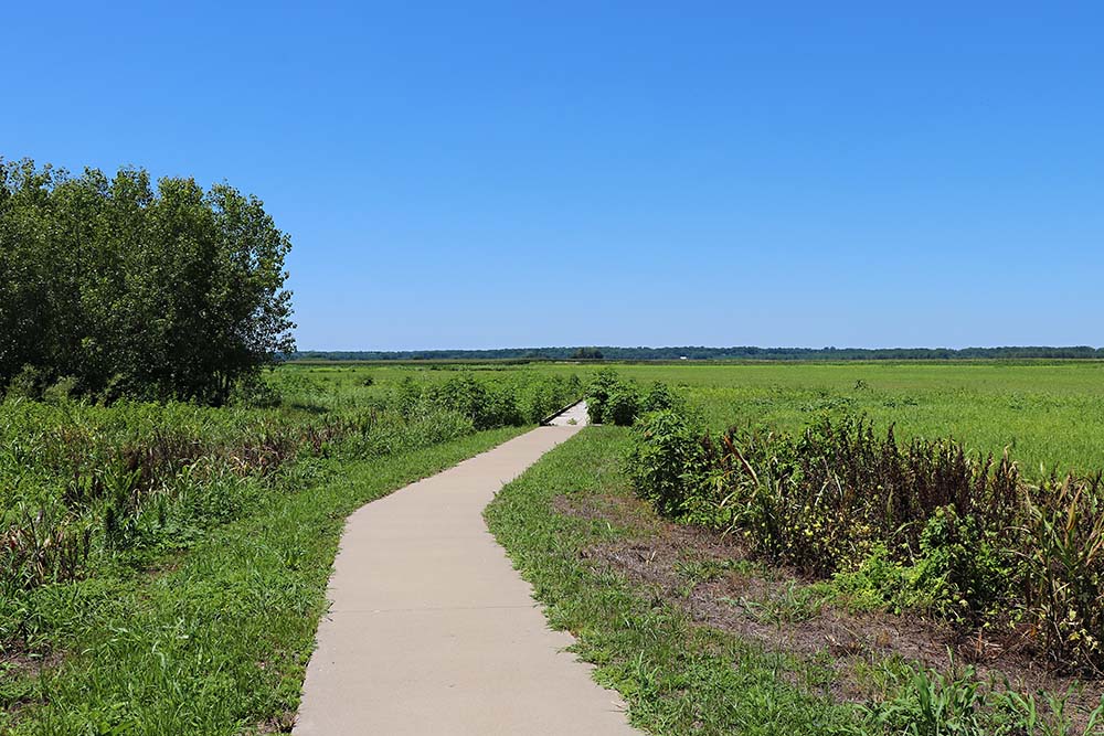
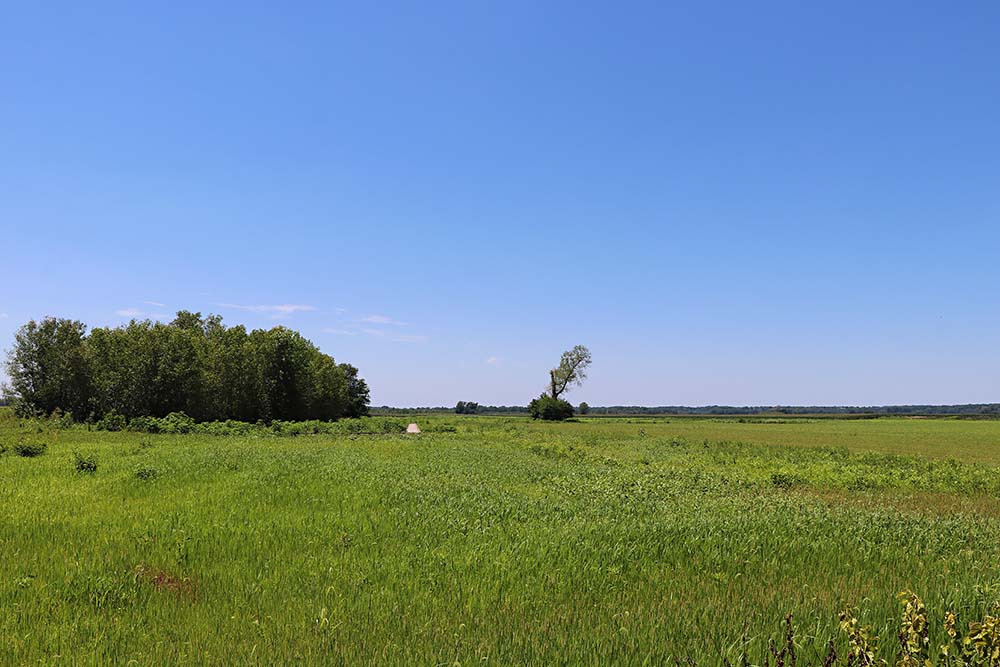
This is the path to one of the exploring stations that is right off the main road. There are parking areas at each station.
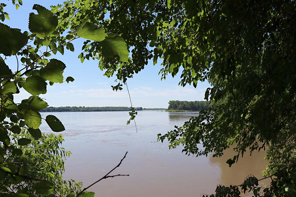
This is what we saw from on top of the platform.
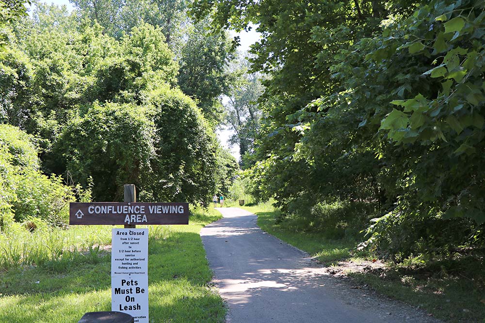
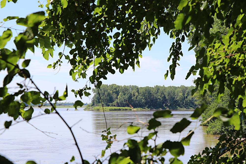
At the end of the road is the trail to the Confluence Viewing area. The trail is not too long. It is a nice walk.
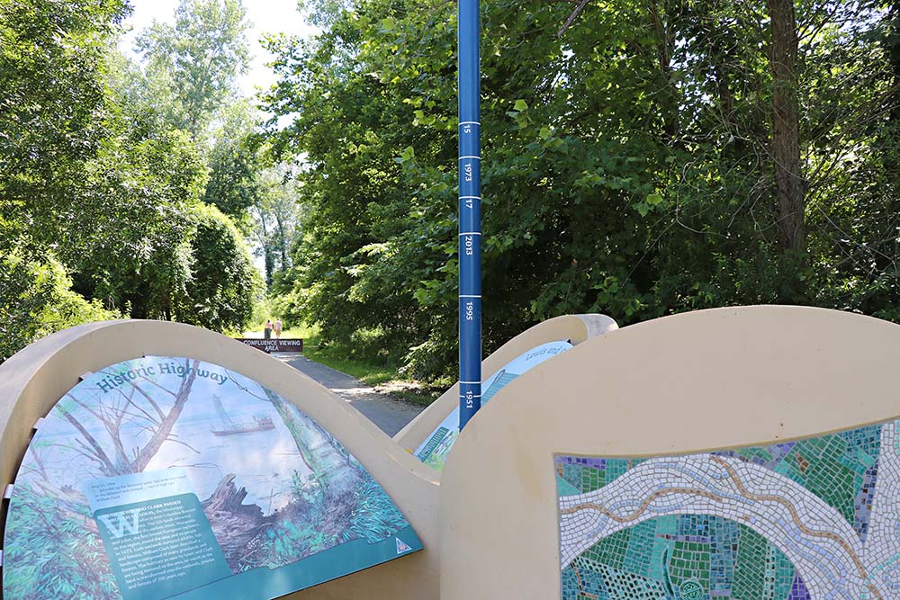
The pole marks the height of the water during flooding in various years.
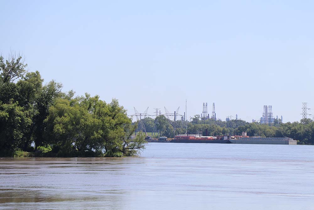
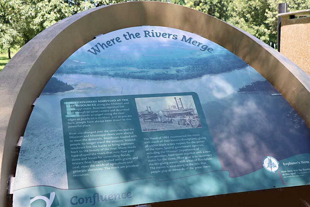
In this photo, we can see the Edward "Ted" and Pat Jones-Confluence Point State Park (at the tip of the island) and the refinery. We tried to reach the State Park this year, but it was closed due to flooding. We need to go back. See map below.
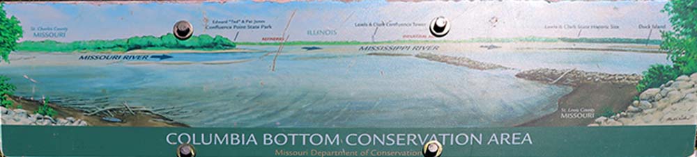
The sign shows what you see when looking out into the confluence, from left to right: St. Charles County, Missouri and the Missouri River, Edward "Ted" and Pat Jones-Confluence Point State Park (at the tip of the island), refinery, Illinois, Lewis & Clark Confluence Tower (above the words Mississippi River), Lewis and Clark State Historic Site, and Duck Island.
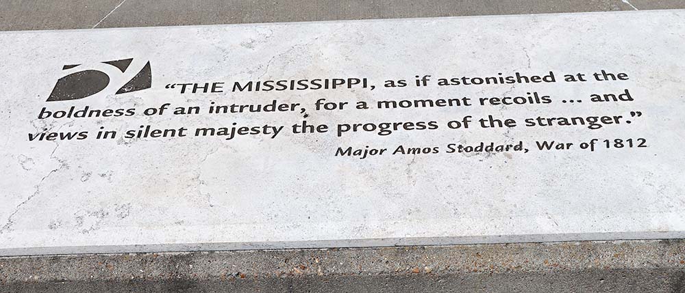
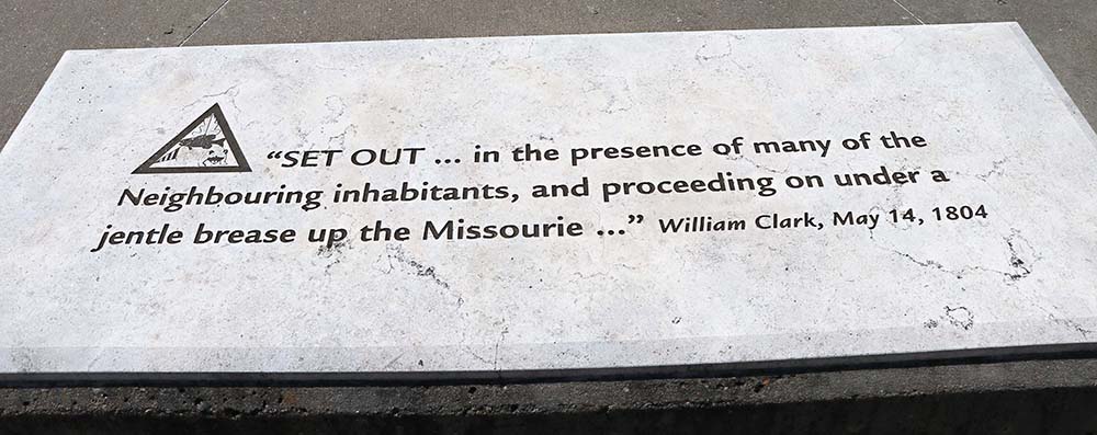
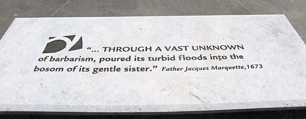
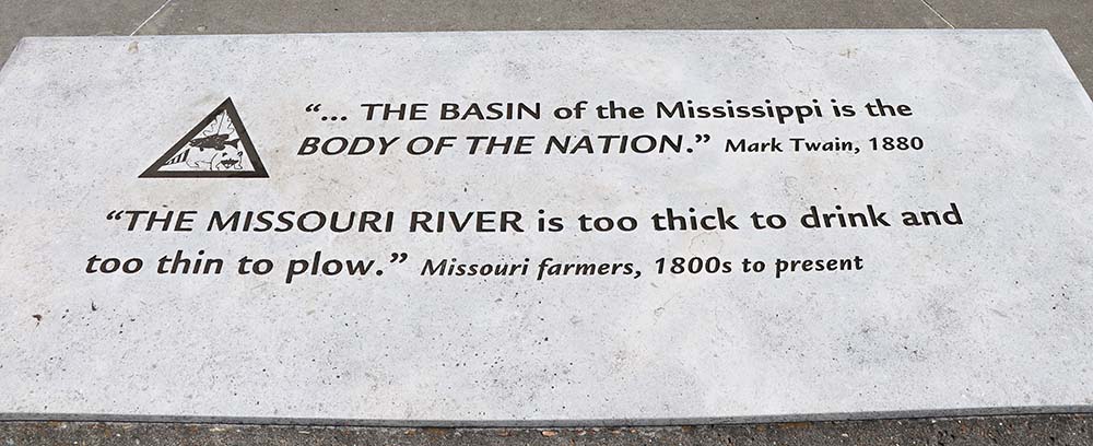
There were benches with quotes and I took photos of them.
It has been a few years since I have been here, but I know we love to adventure and we went off down a side trail somewhere to get this view.
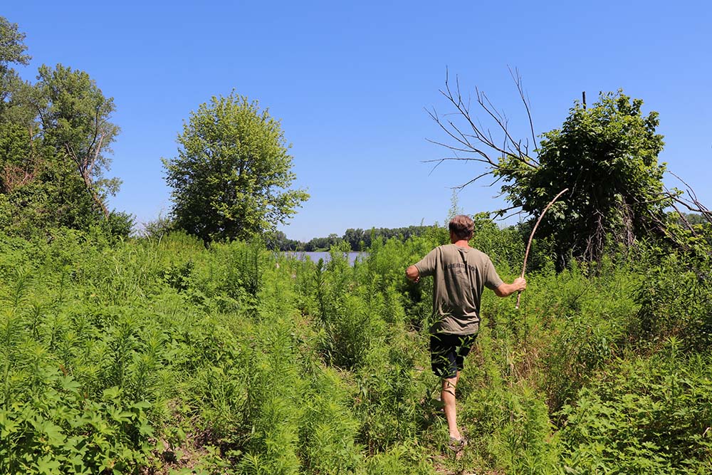
See, there we are off another side trail. There is a trail here, but you just cannot tell!
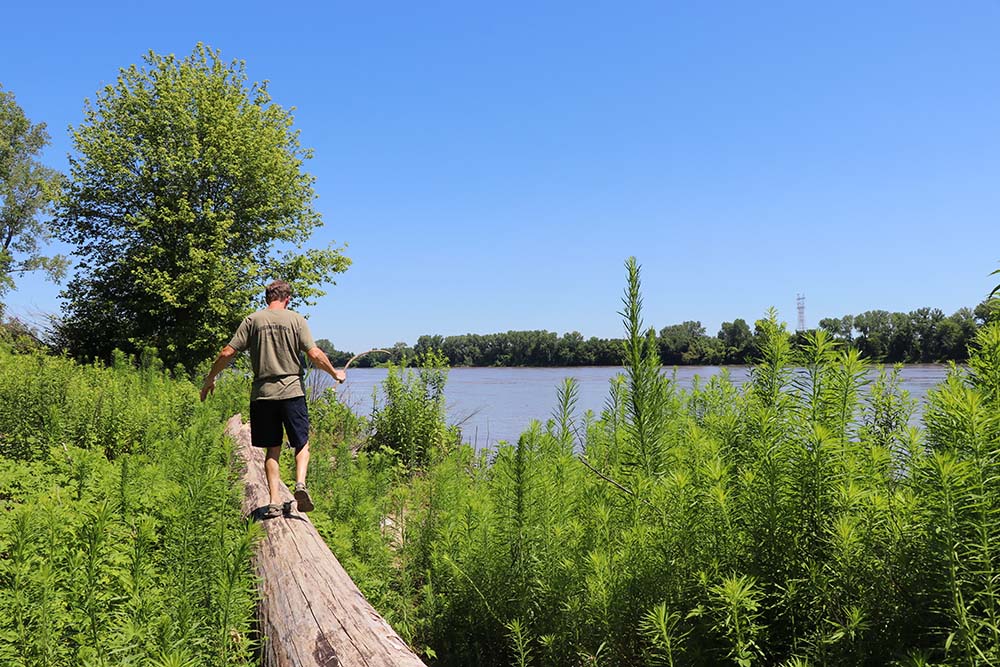
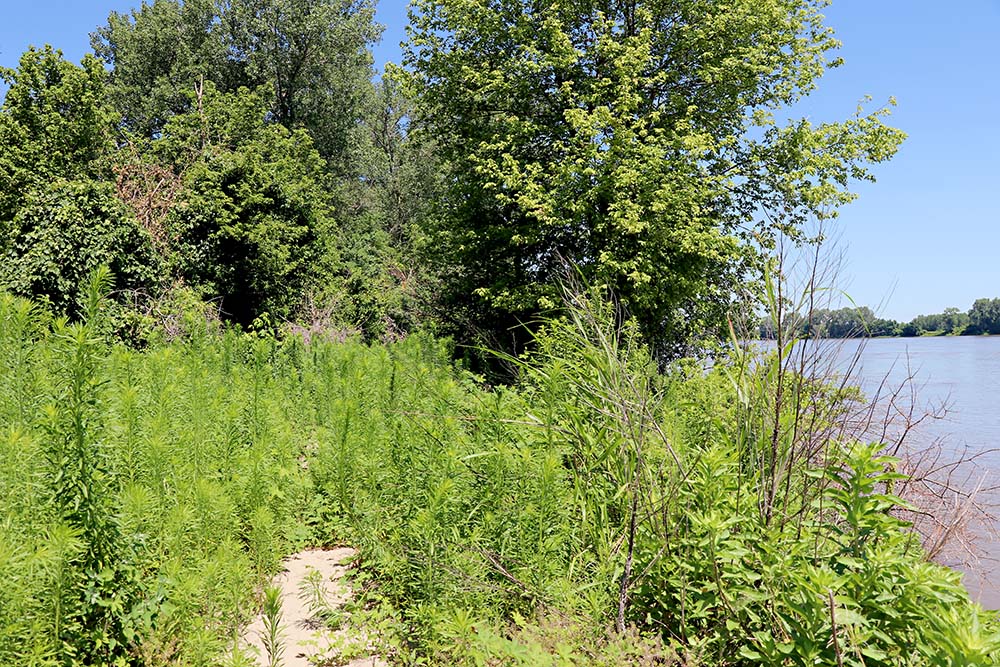
You can barely see the trail to the right of the log.
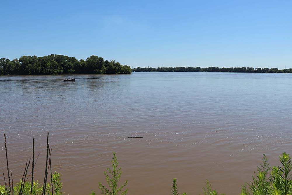
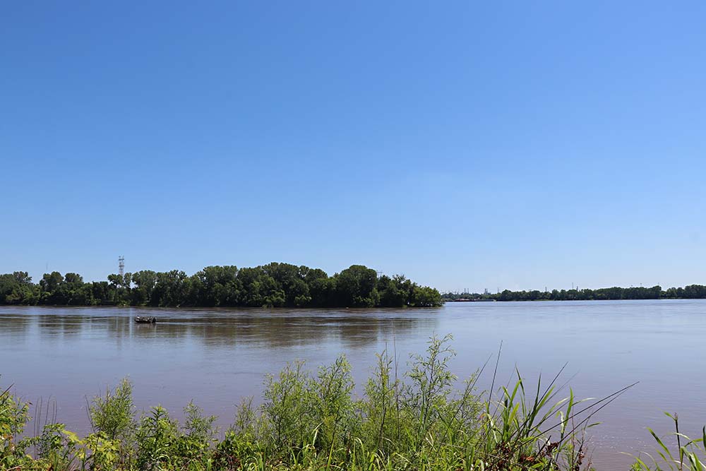
Someone was boating down the river in an open boat.
See the trail? Yes it is there!
This is taken as we return from the confluence area. You can see the big stones and benches in a circle where you view the confluence.
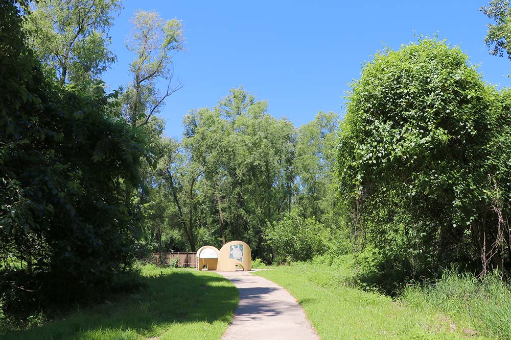
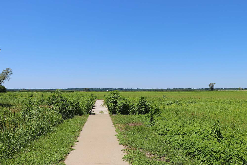
This is another trail to another station that we drove to. There is information along the trail before you cross a bridge and continue on.
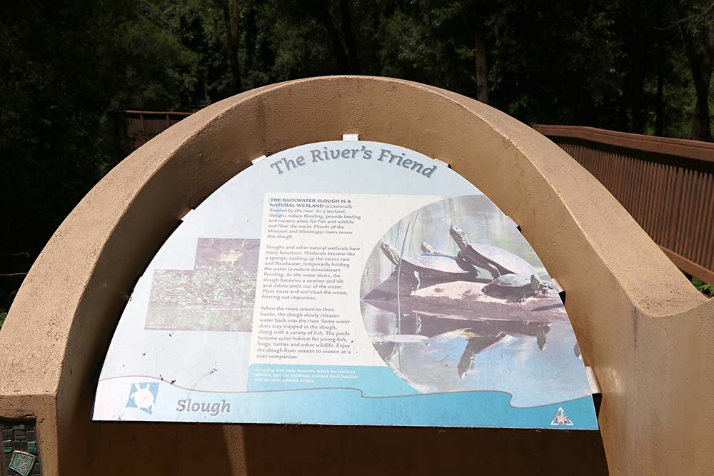
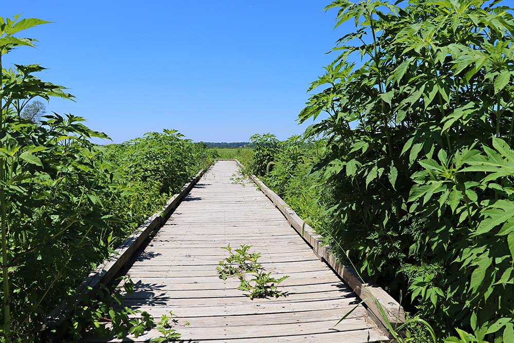
It was very swamp-like along this trail.
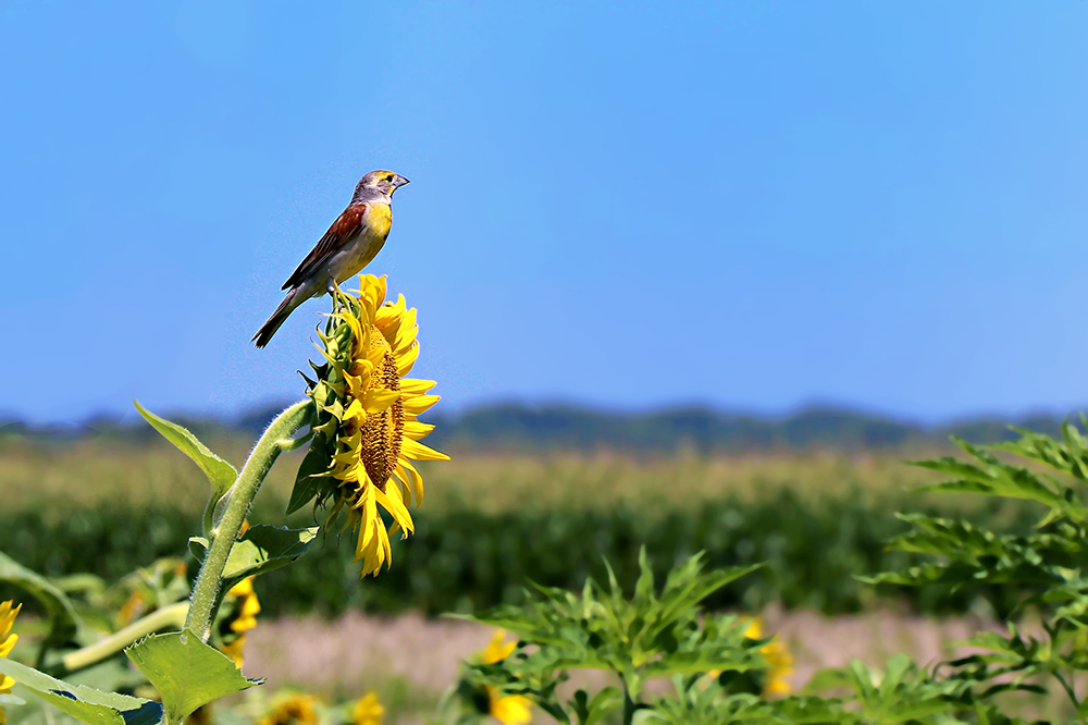
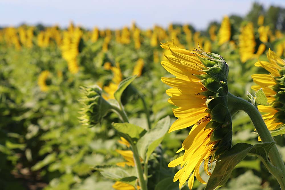
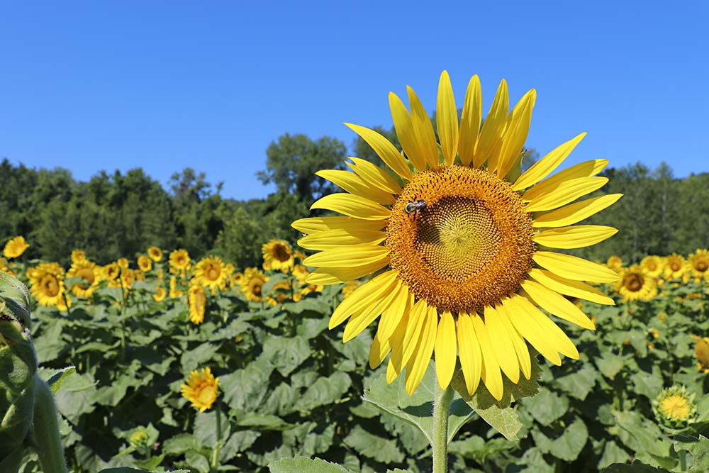
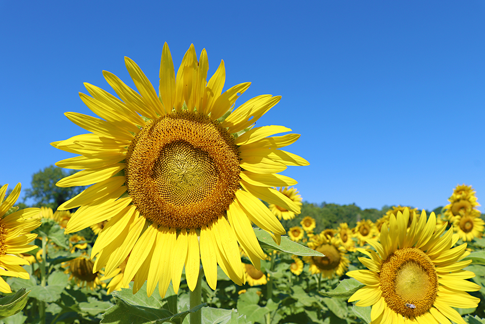
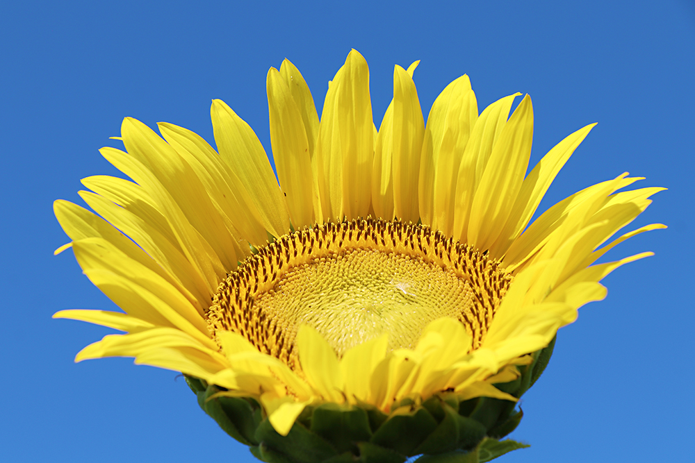
As we continued driving we saw sunflower field after sunflower field and stopped at a lot of them. This bird entertained us for a while.
This is another station which we stopped.
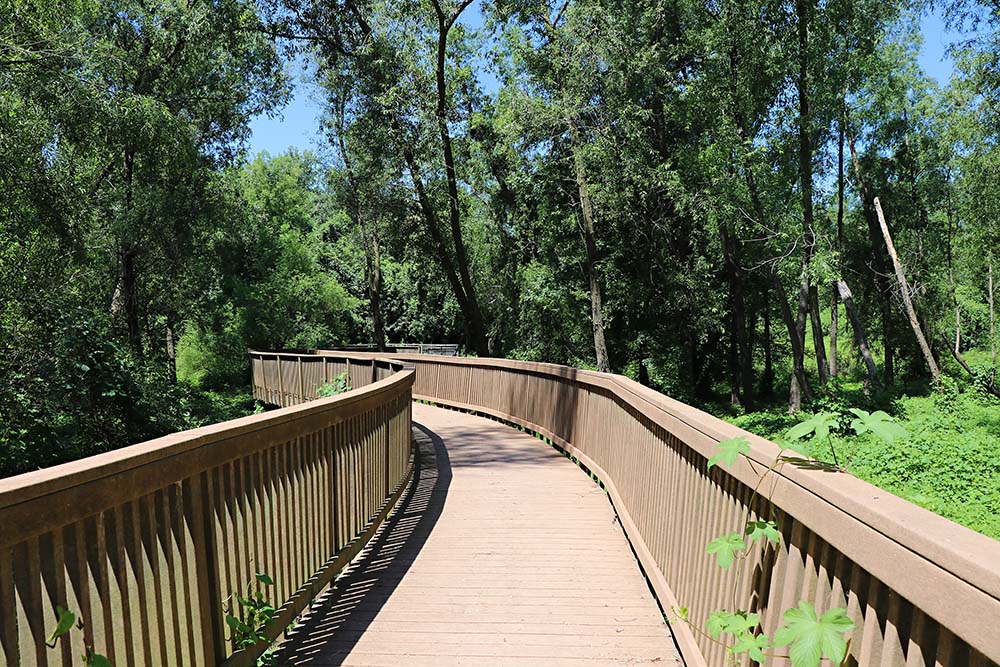
It had a lot of fun boardwalks to travel upon.
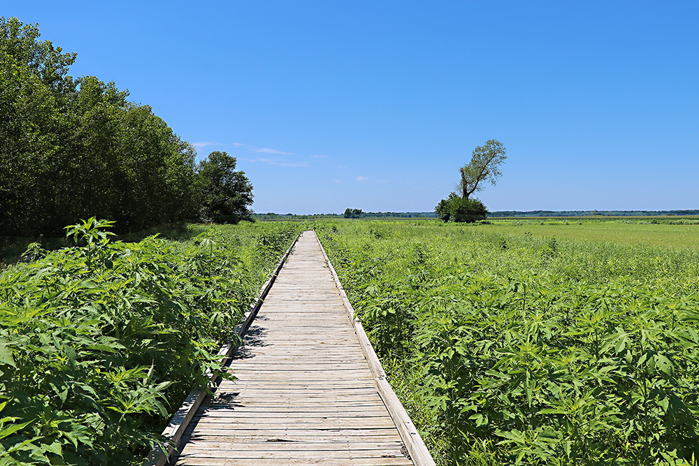
The boardwalks made for fun photos. Note the bushes to the left to compare to the image below.
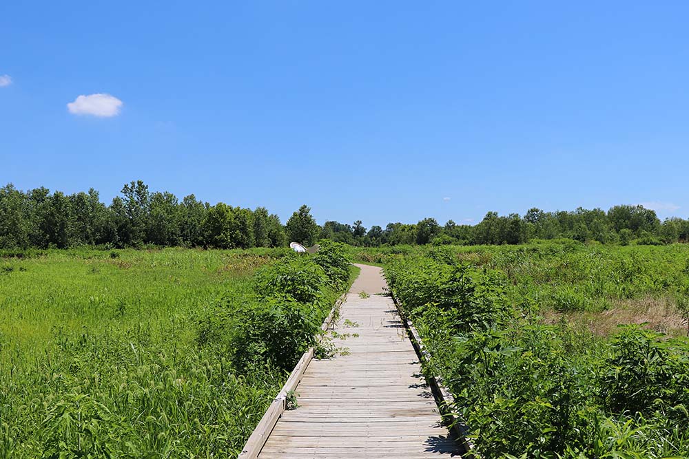
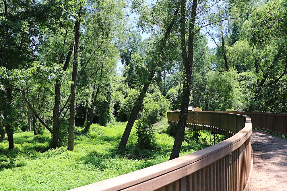
You can see the end in this photo up ahead.
The end was not as exciting as the walk.
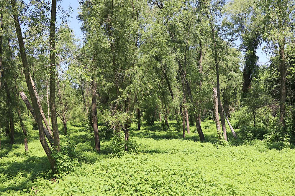
Back to the main road I took a photo of the above boardwalk in the distance. You can see how it is out in the middle of a field to the right of the big bushes.