Crain's Island, Illinois
Crain's Island, Illinois, August 6, 2017 and Weekley land
On August 6, 2017, we set out on an adventure to find Crain's Island and the place where hubby's ancestor's lived. His ancestry is as follows: John & Melissa Weekley, being Nancy Weekley Kent's parents, John & Mary Crain , being Melissa Crain Weekley's parents. and John & Susannah Crain.
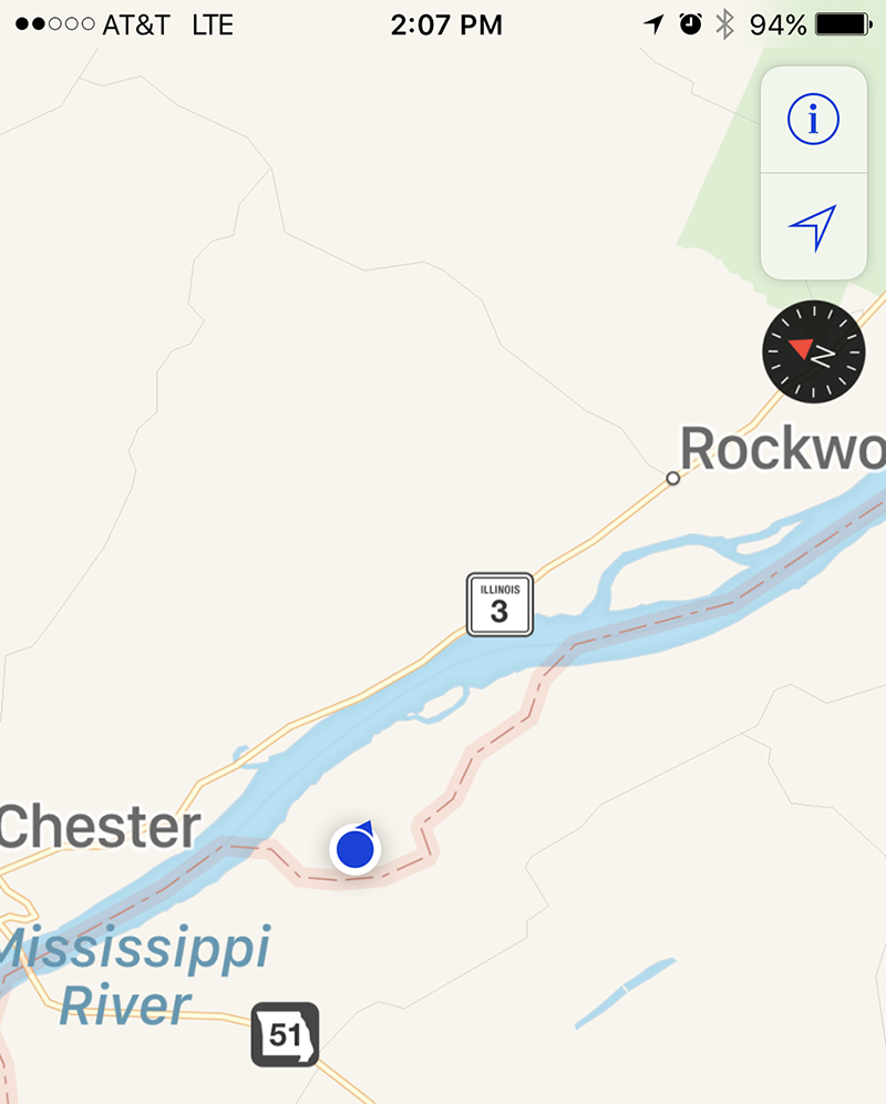
I often here that Kaskaskia is "the only" Illinois land west of the Mississippi River and therefore it appears to be a part of Missouri. This is not true because I have found that the same fate happened to Crain's Island which is just south of Kaskaskia.
After the great flood of 1844 and in April 1881, the Mississippi River moved east to where it is now causing Kaskaskia to be on the west side. I am not sure of the dates for Crian's Island, but I would think it may have been the same time period. Where the border of Illinois runs is where the Mississippi River was located previously.
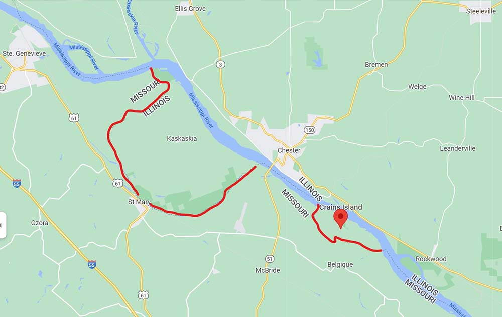
You can see from this map that Crains Island is south of Kaskaskia and that it is part of the State of Illinois. Where the red lines are traced is the border between states and where the Mississippi River would have run before it moved. To get to Crains Island, go down Highway 51 through Perryville, Missouri.
1800. From the following excerpt, John & Mary Crain and their family have an Island named after them called "Crain's Island." Crain is often misspelled as "Crane," but on today's map it is spelled Crain's Island. John lived on this island for many years. Prior to his living on the island, he lived with his family at four miles above along the Mary's River. With the help of avid researchers, it has been determined that the father's name is incorrect. Benjamin should also be "John Crain." Read more about this on John and Susannah's page.
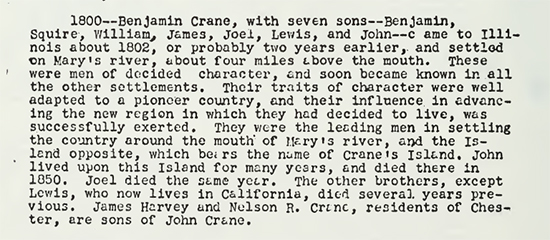
In the Book "The History of Randolph County Illinois Including Old Kaskaskia Island" by E J Montague in 1859, and copied in 1948, on page 46, we read that between 1800 and 1802, a Benjamin Crane, with 7 sons, came to Illinois and settled on Mary's river, about four miles above the mouth. "These were men of decided character, and soon became known in all of the other settlements. Their traits of chracter were well adpated to a pioneer country, and their influence in advancing the new region in which they had decided to live, was successfully exerted. They were the leading men in settling the country around the mouth of Mary's river, and the Island opposite, which bears the name of Crane's Island. John lived upon this Island for many years, and died there in 1850. Joel died the same year. The other brothers, except Lewis, who now lives in California, died several years previous. James Harvey and Nelson R. Crane, residents of Chester, are sons of John Crane."
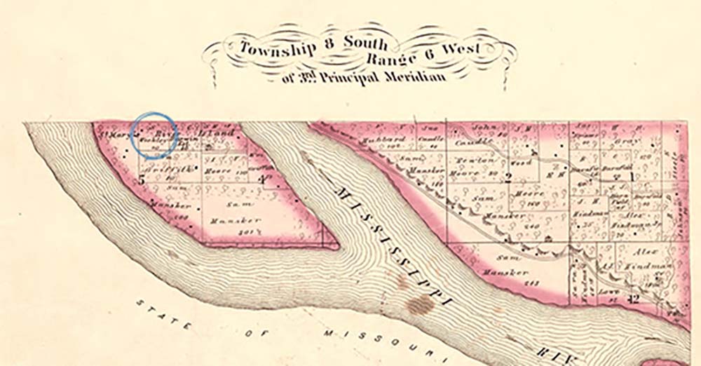
In the Illustrated Historical Atlas of Randolph County, Illinois, at the Library of Congress, published in 1875, page 25, we find the John & Melissa Weekley plot on Crain's Island. Crain's Island was initially named St. Mary's River Island.
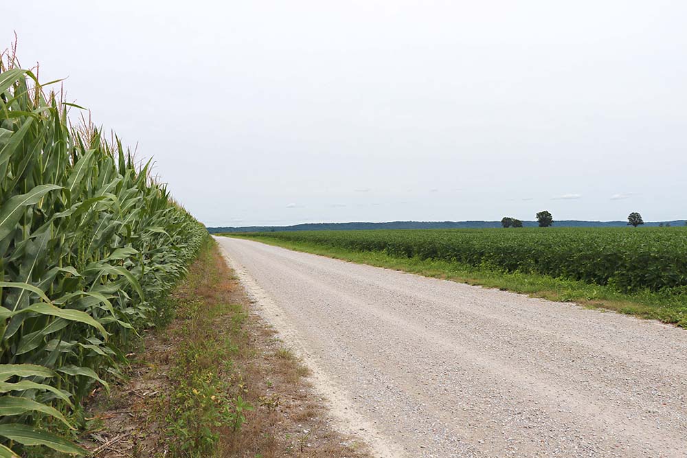
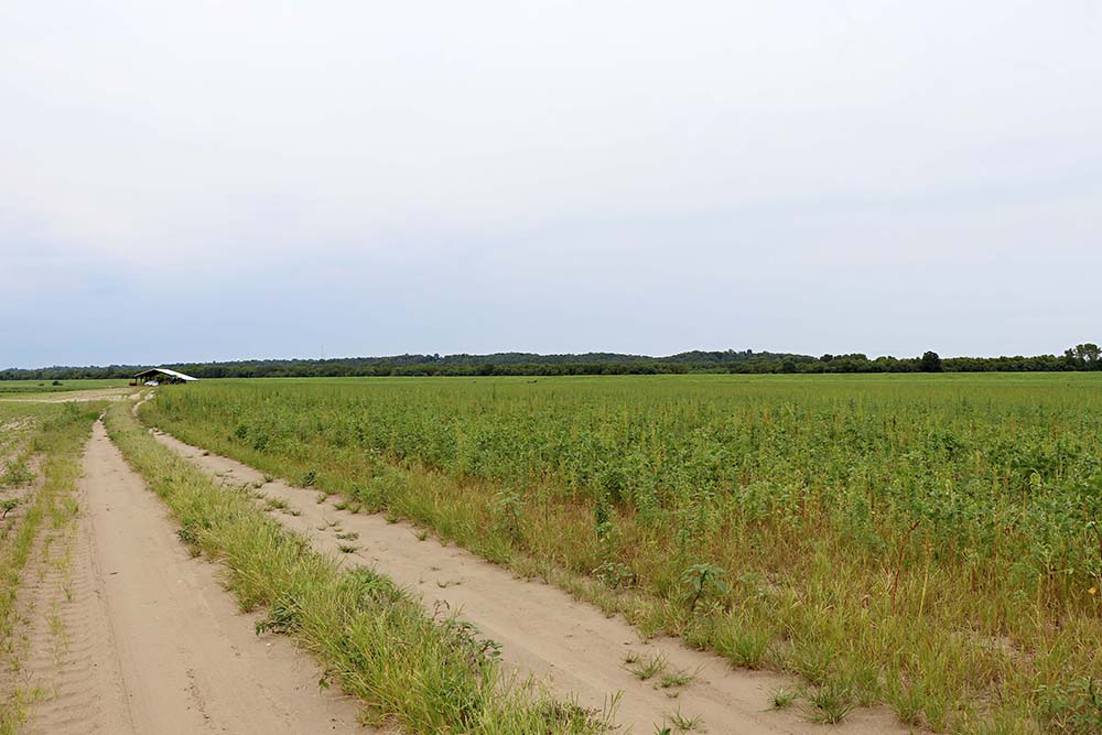
It has been five years since I took these photos and I should have posted them much sooner as it is hard to remember how we traveled and what each photo represents. This is traveling on Crian's Island.
I am not sure what road this is not all these years later that we turned off of, but I am sure I could find it again.
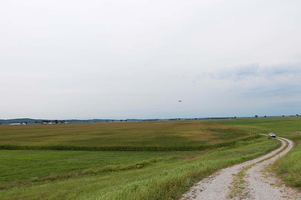
In the distance is the tree line for the Mississippi River, I believe.
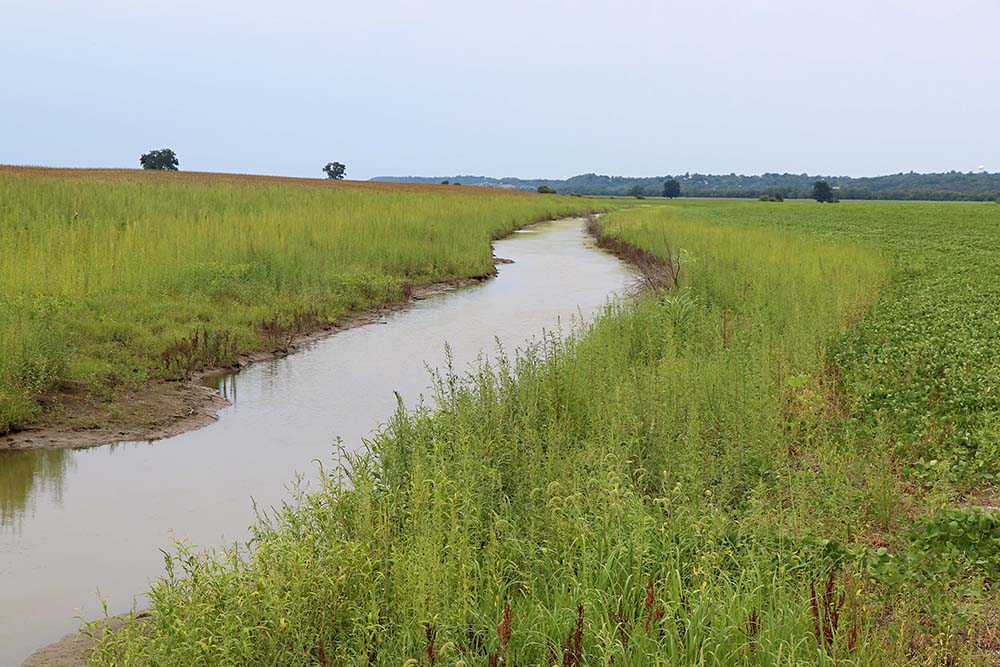
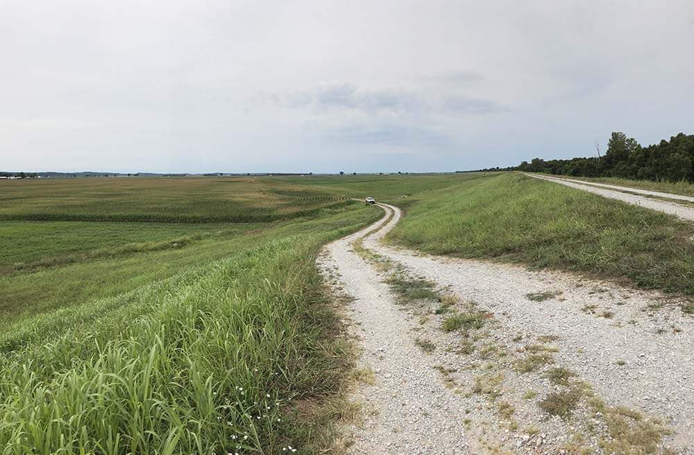
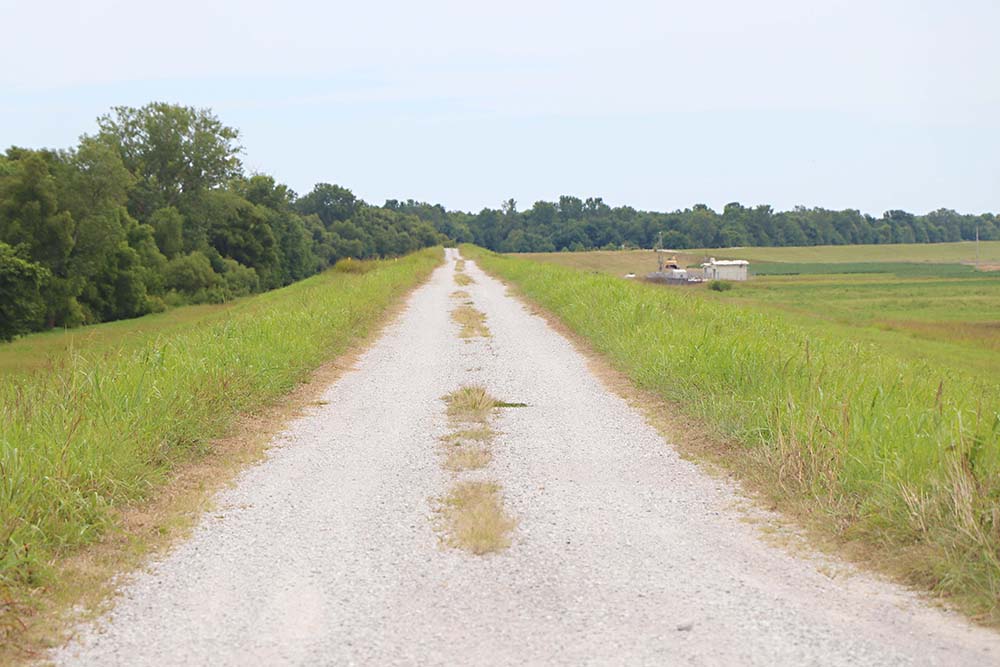
The hill to the right would be the levee road.
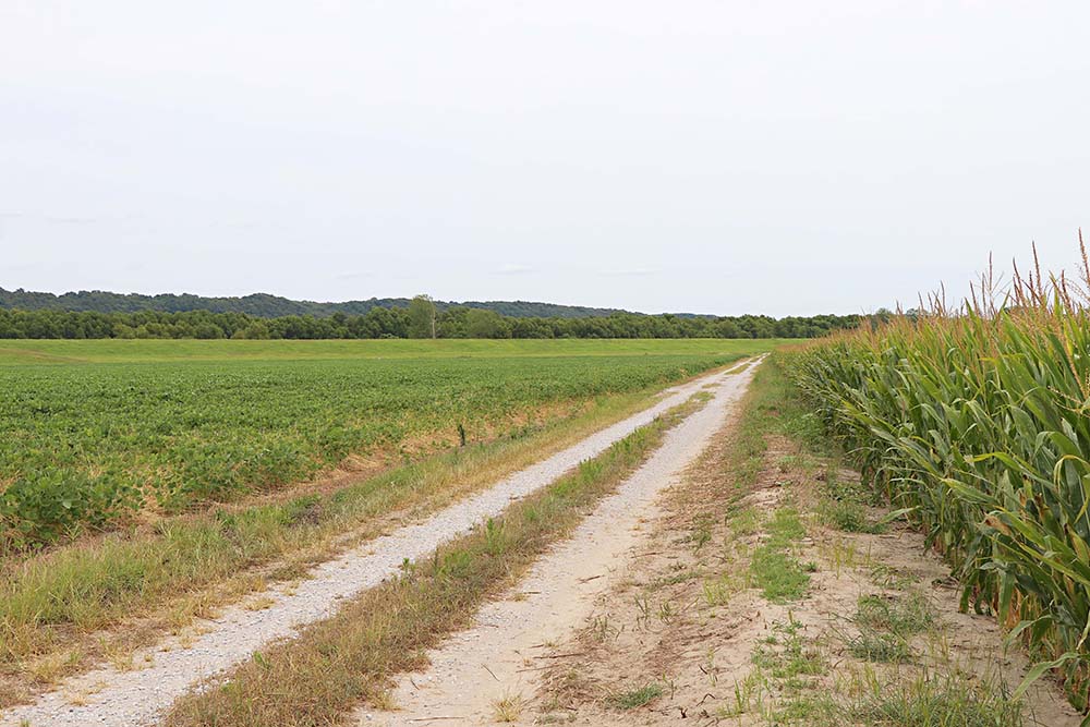
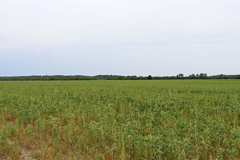
Here you can see the road leading up to the levee. We had parked our car down the hill and walked up. This is looking back at Crain's Island.
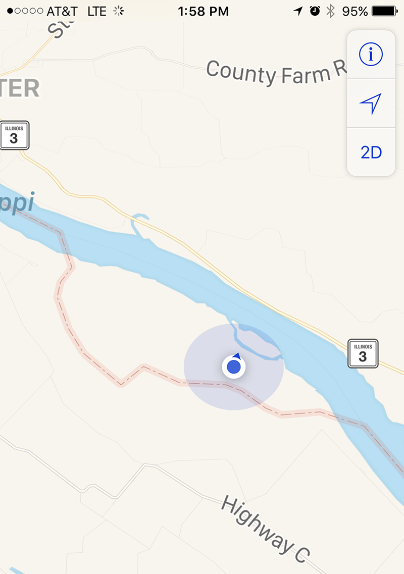
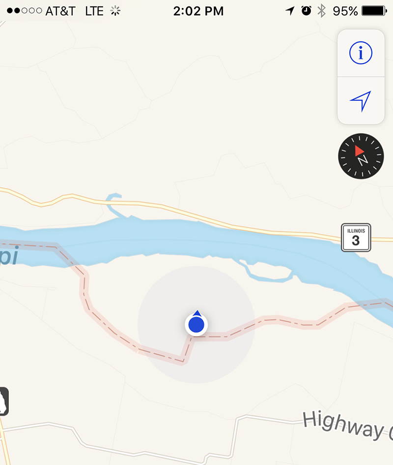
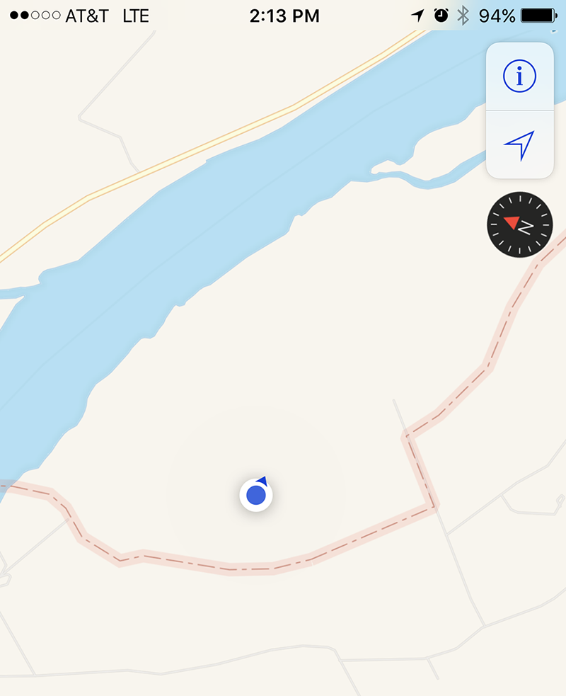
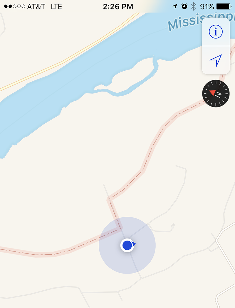
We were on the levee road where the water cuts off part of the land as seen in our GPS screenshot.

.JPG)
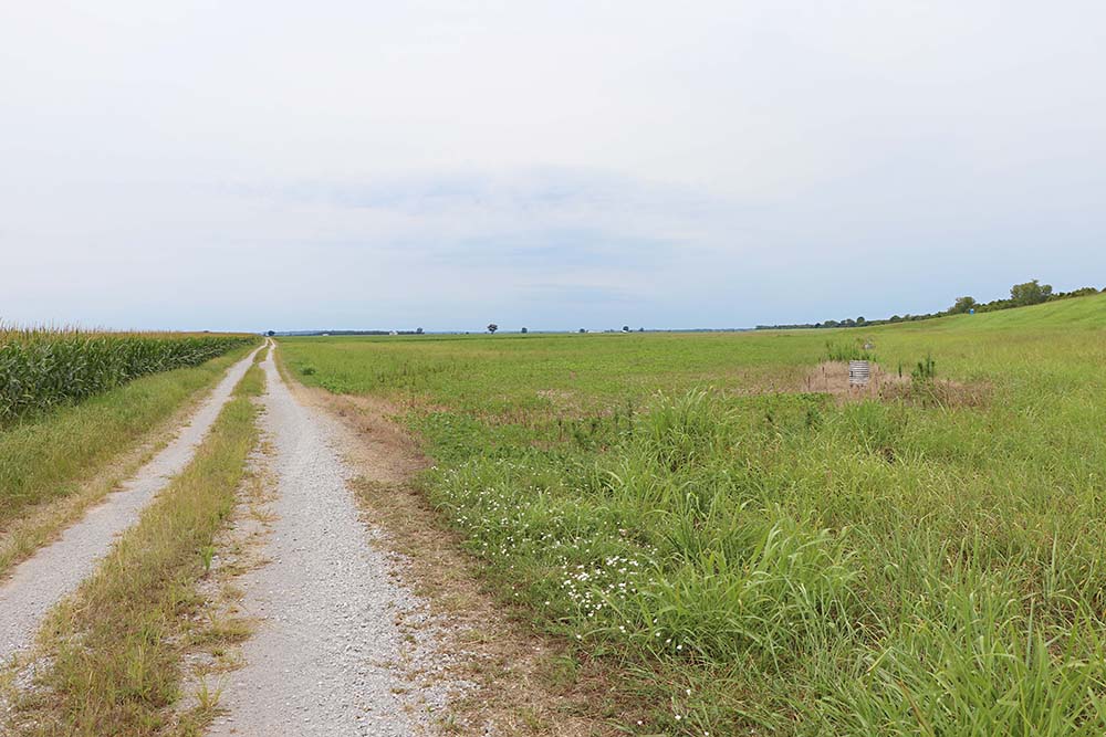
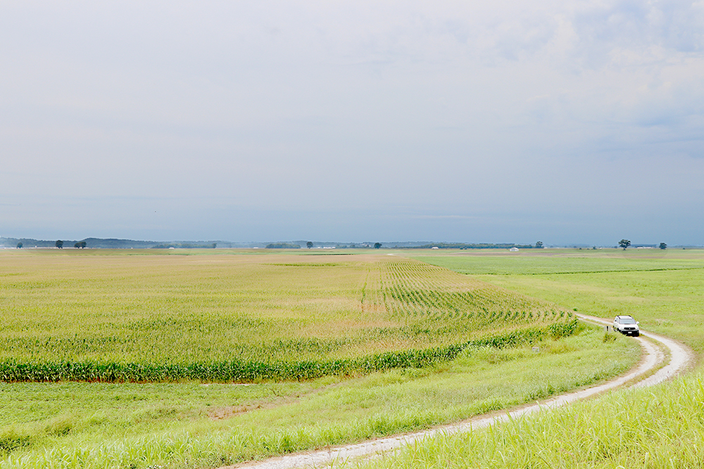
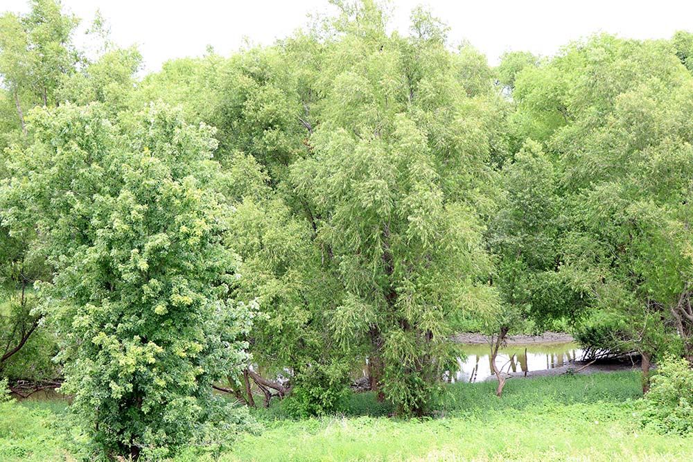
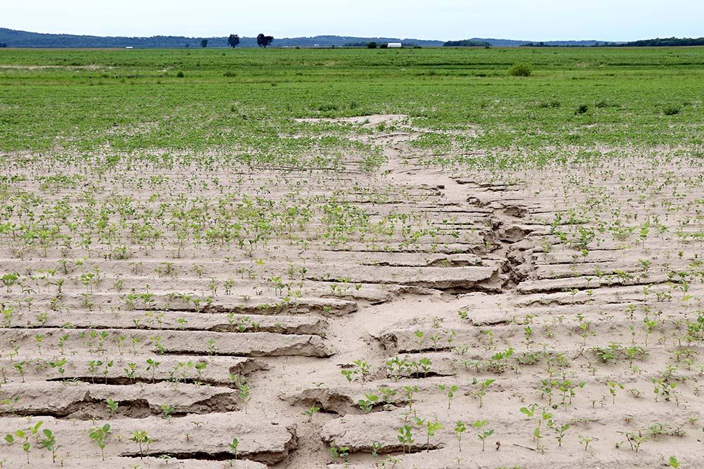
This is what we saw while standing on the levee road looking towards the Mississippi Rover.
This is looking down the levee road. I am not sure wh we did not drive down it as we have been known to do that!
We traveled back towards the state line in search of the Weekley land. I had researched the section on the 1875 plot map above against the same section today on Google earth to find the location. I do not know if I can find my notes or if I have to do that work again. If I find those notes or go back again, I will update this page.
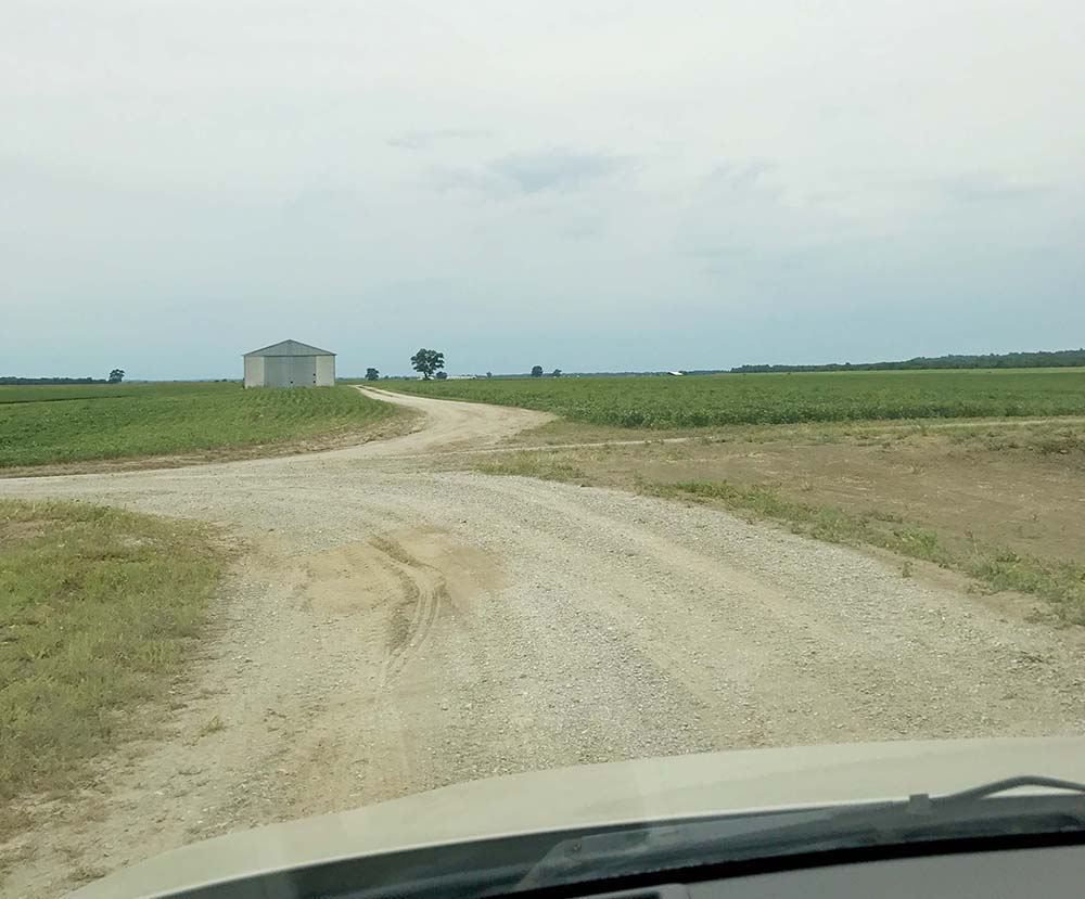
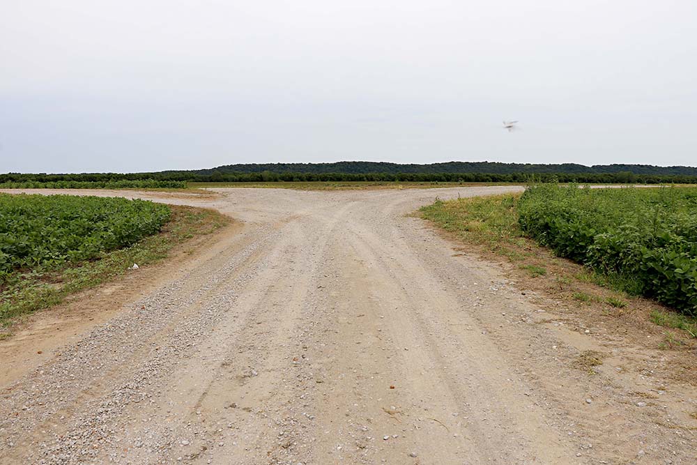
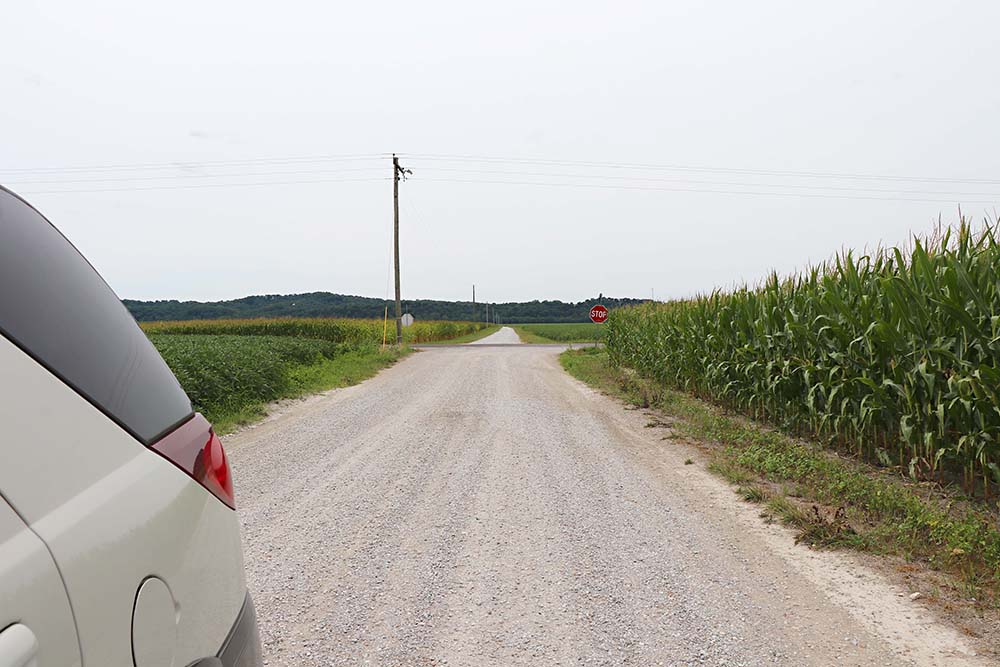
I believe we went straight in this photo.
This is where we were when we went straight, but I cannot say for sure.
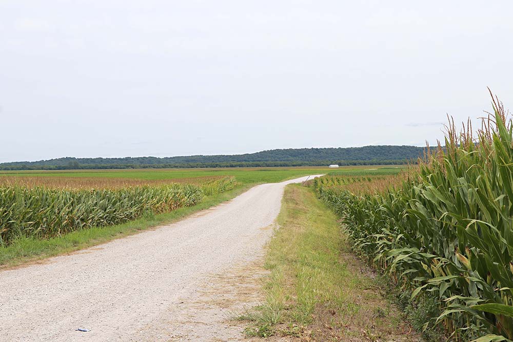
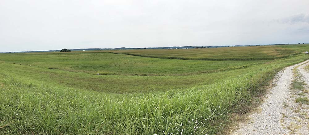
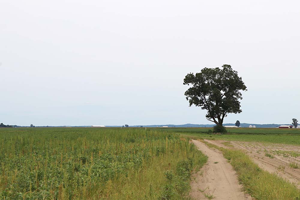
I believe this is where we were at when we felt we were closest to the Weekley property.
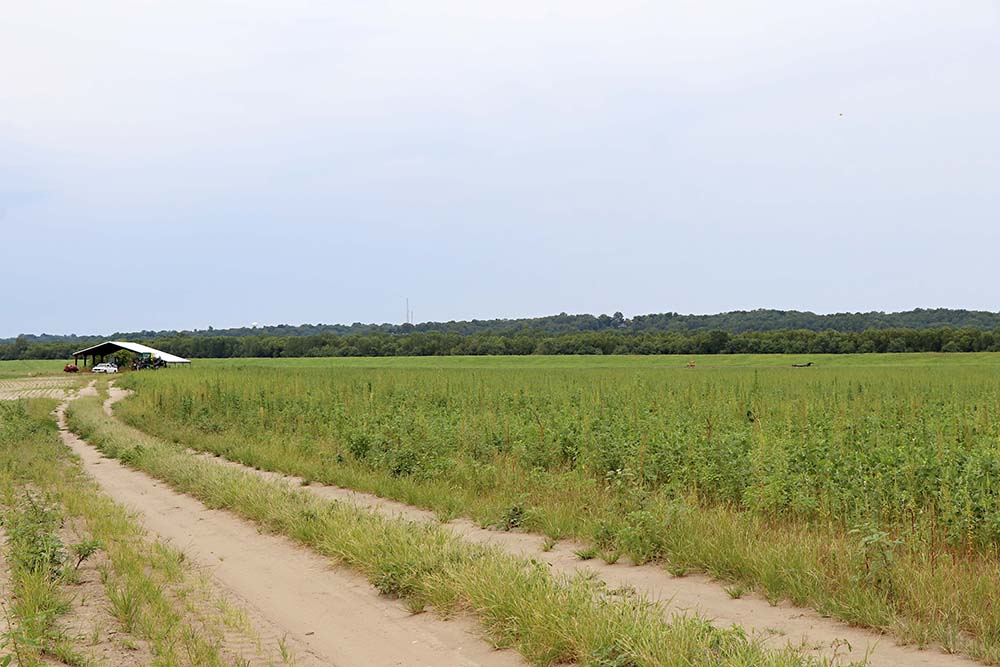
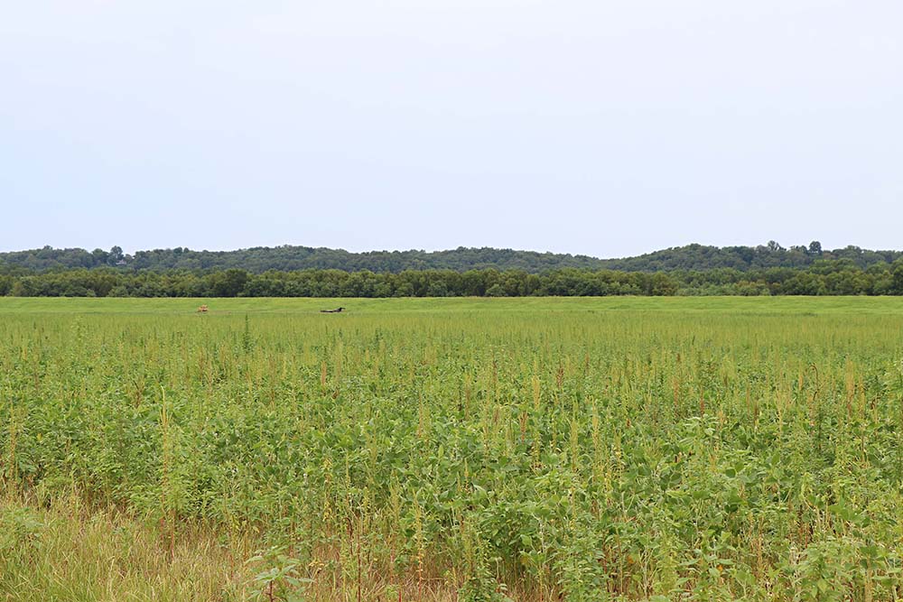
And this is what the Weekley land looks like! I believe it is off in the distance, but we could not get any closer.

Hubby bent down the pick up the land of his ancestors to hold it in his hand.

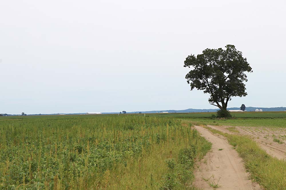
I believe this is turned around looking back from the way we had drove in.
I believe this is a screen shot of the below photo as we were leaving. It shows the way we drove in.