Painted Rock Conservation Area
Painted Rock Conservation Area is in Osage County, Missouri next to the Osage River. We visited on October 10, 2025. We had a planned campout in a nearby county and we realized that we had not been to the Osage or Maries Counties yet. I could not be this close and not go! So we made the beautiful drive through Maries County, to Osage County, to visited Painted Rock. Both counties were a gorgeous country drive. We really enjoyed our time at Painted Rock.

We came up from the south, so stopped at the southern-most entrance of the conservation area next to a small fishing pond. There was a path down to the Osage River which we took first.

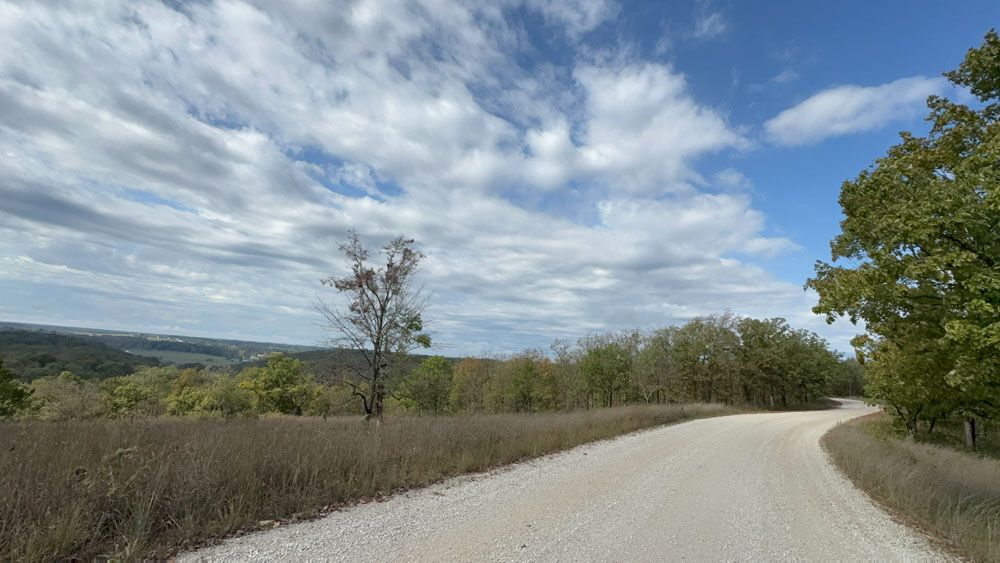
You can see on the map that the pond was called Clubhouse Lake. We drove past the middle area, and probably should have stopped there and regretted it later. Then we drove to the northern-most entrance and hiked Osage Bluff Scenic Trail.
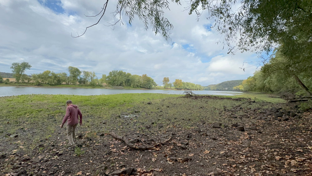
This is our first experience with the Osage River in the conservation area. It is beautiful.
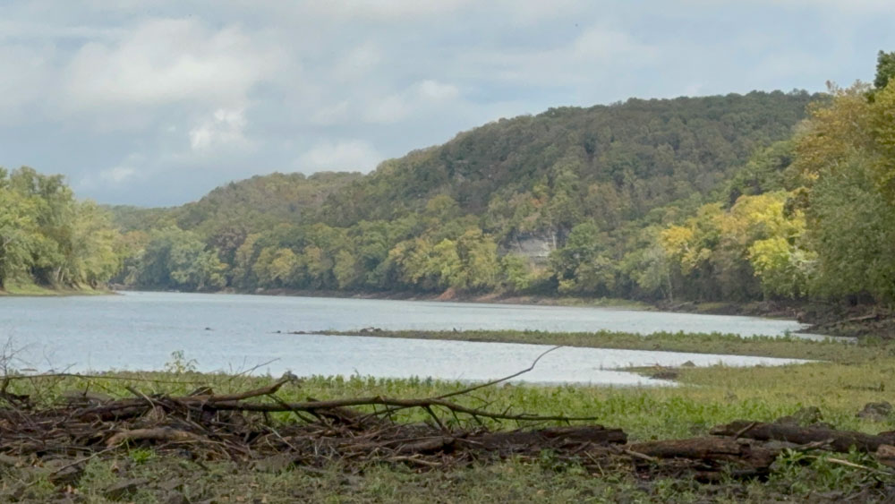
This is the view to the right.

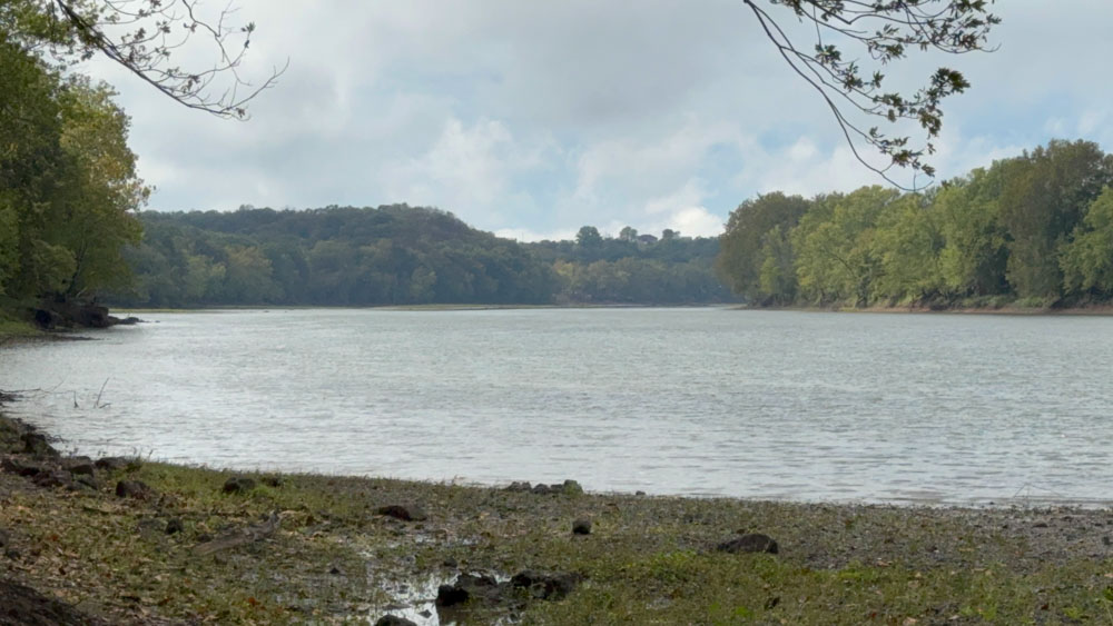
This is the view to the left.

This is the view of the pond, called Clubhouse Lake, from where we parked the truck. There were several camping areas around the lake that looks like a pond.

There were several jetties for fisherman. We did walk over to both of them.

This is the view on the first jettie.

This is a view from the first jettie looking at the second jettie.
This is the second jettie view.

This is looking further into the lake from the first jettie (to the left).

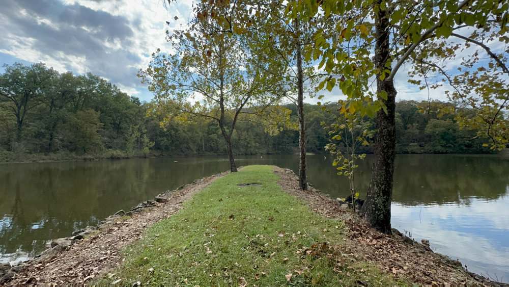
This is looking back at the place where we parked the truck and walked across to get to a campsite and the jetties.
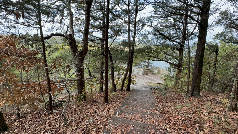
We passed this view going down to the Osage Bluff Scenic Trail and I stopped for a photo op.
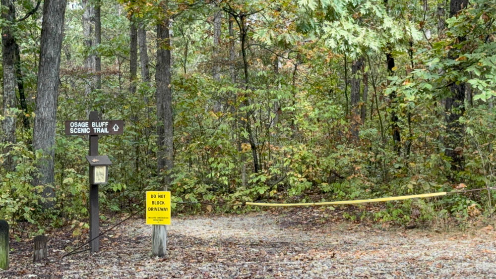
This is the entrance to the Osage Bluff Scenic Trail. A sign indicates one way on the trail. In the box were these fabulous booklets (read it here) with stations marked along the trail and descriptions about what was at each station. That was a sweet surprise.

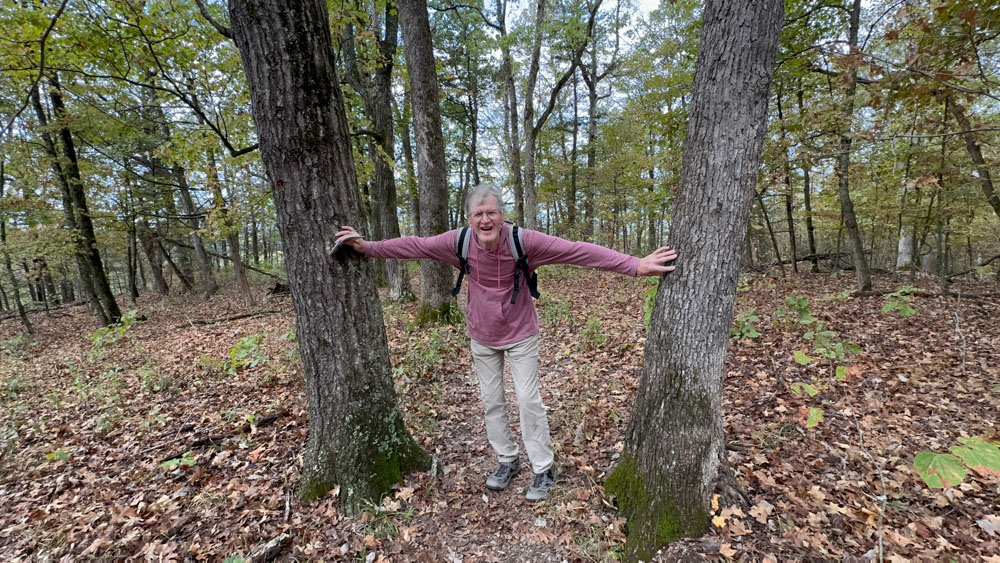
It is customary for hubby to post between two trees and pretend to push them down when the trail goes through them. The first part of the trail to the overlook was very easy terrain and someone who needs an easier trail could go to the overlook and back if they wanted.

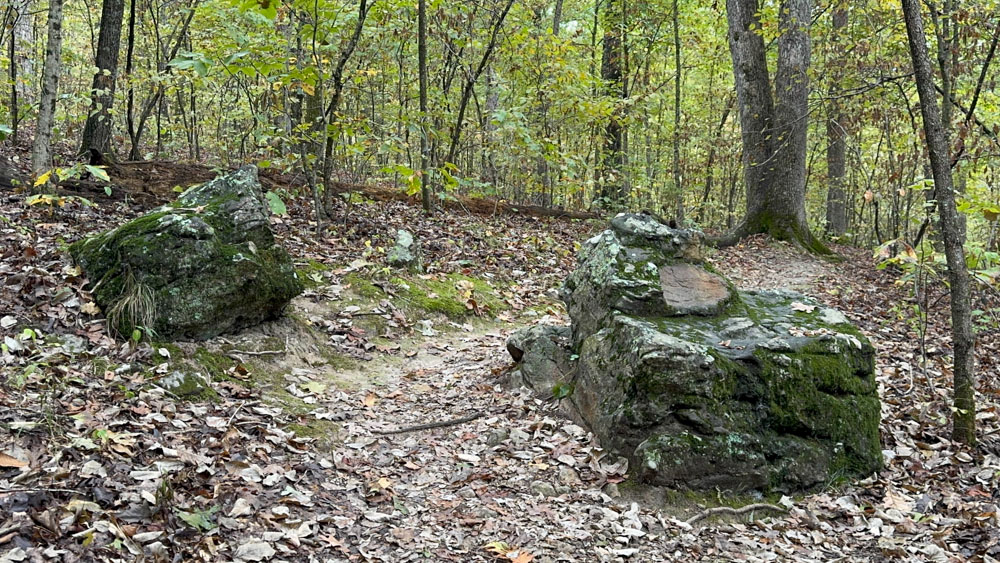
This is station #2, the Indian Burial Cairn.
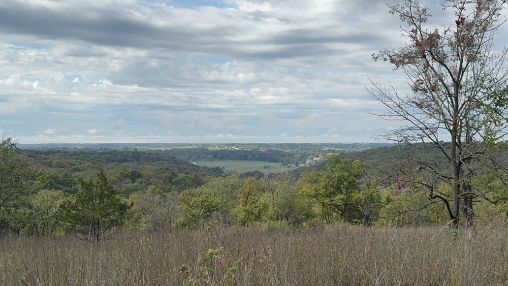
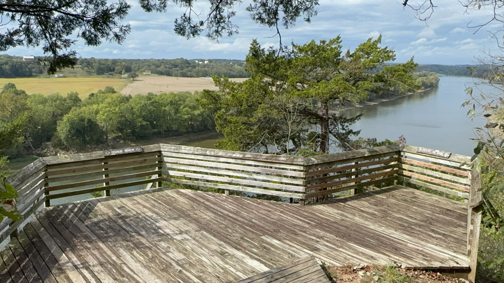
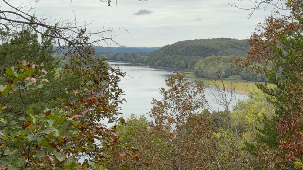
Not from the Indian burial cairn is the overlook.

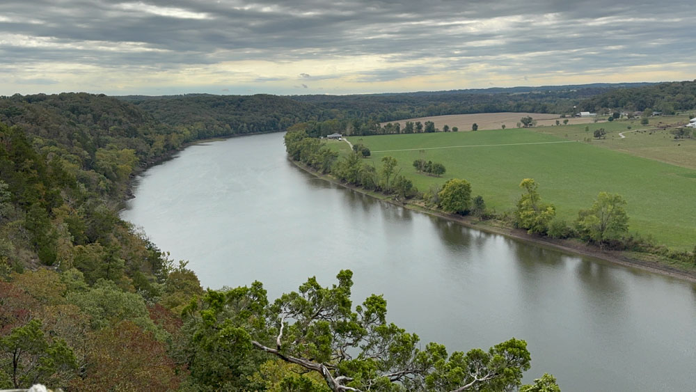
To the right side of the overlook is a sign for Station #3 which is Bloody Island Overlook.
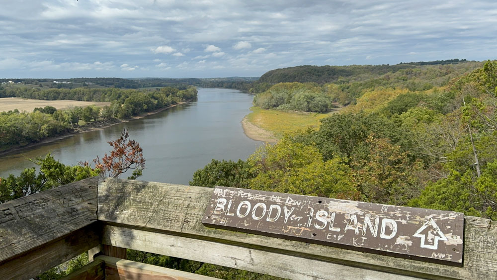
The brighter green patch into the river is Bloody Island. There is a story about a Civil War era gold treasure being buried on the Island. There is a bluff nearby with many paintings on it that gives the conservation area its name.
The view is gorgeous!


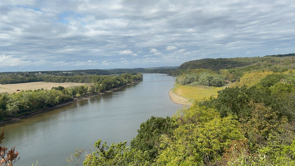
This is the view across the Osage River.

It was a windy day and I could see the ripples on the water.
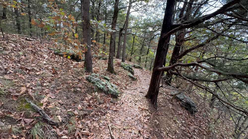
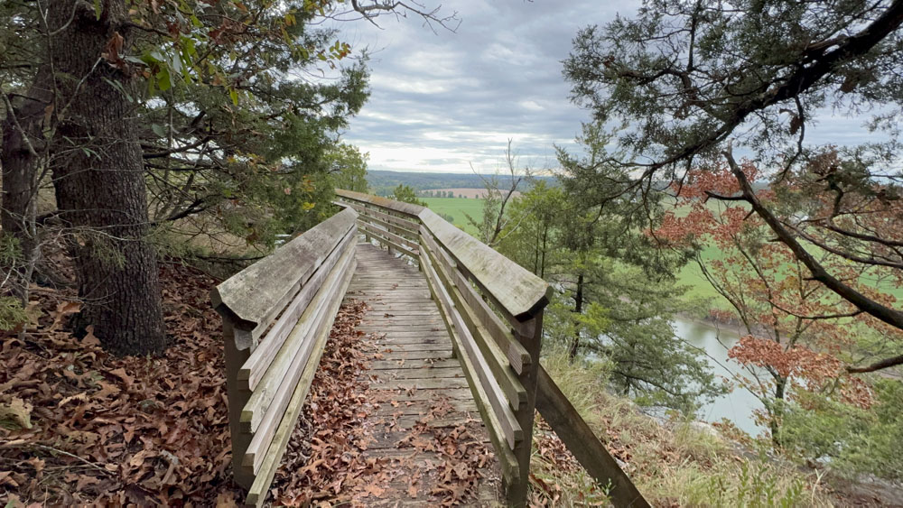
The trail is not hard, but it does get a little more difficult after the overlook as it meanders along the edge of the Osage River.
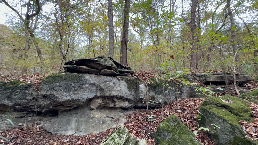
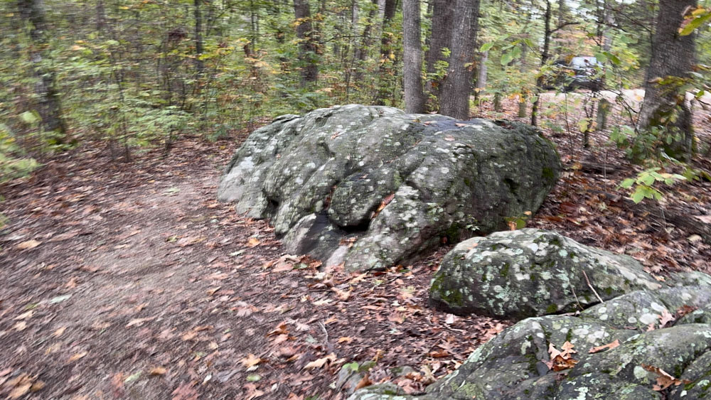
This is Station #4, the rock outcrop, although we felt it was a long section of rock that we walked along and not just one rock outcrop.

The bridge is marked on the map, but is not an official station.

Somewhere in this area was Station #5, the Sugar Maple Encroachment.

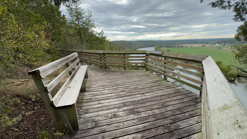
We passed a nice bench (actually there were several benches along the trail).
This is the view from the bench.
Station #6 is the South Overlook.

This is the Osage Bend looking to the left from the south overlook. You can see the Eagle right in the middle of the photo.


There were a pair of Eagles which we totally enjoyed watching. It was such an unexpected surprise! My cell phone camera did a fairly good job at capturing them.


 We finally made it back to the parking lot!