Clifty Creek Natural Bridge Conservation Area
Clifty Creek Conservation Area is in the lower part of Maries County, Missouri. Clifty Creek Natural Bridge is located along the trail and the maps also reference it as Clifty Creek Natural Area. We visited on October 10, 2025. Over the years I had read a lot of social media posts that made Clifty Creek appealing and I have wanted to visit. However, I found the trail so difficult that I was glad to be done with this hike, never to return! Maybe in my younger years it would have been more do-able, but the path to the natural bridge was so rocky that I had to watch my every step being afraid to twist an ankle or fall.
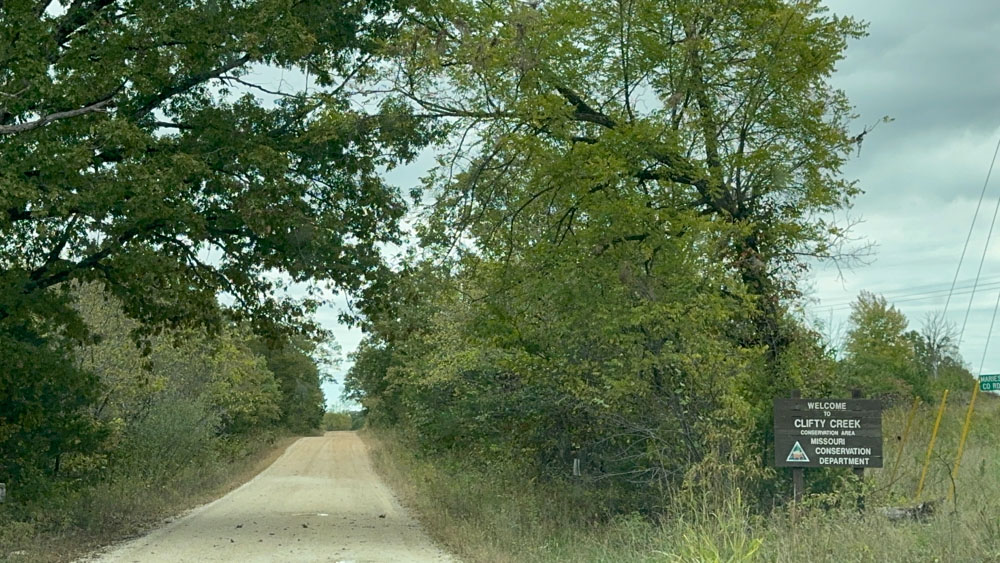
We drove down the road and passed up a parking area, going to where the GPS told us to go.
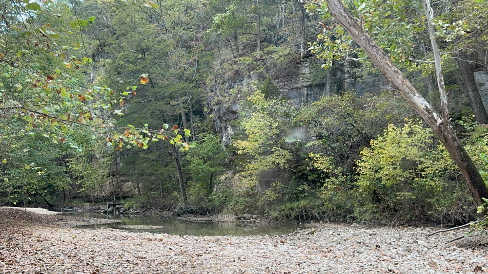
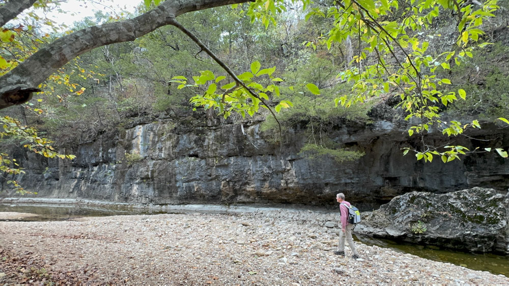
This is the view of Clifty Creek from the road. It appeared as if we could walk up the creek to the natural bridge, and that may have been a viable option, but I looked up the trail map and decided to be obedient to the trail to respect the area. We drove back to the parking lot.
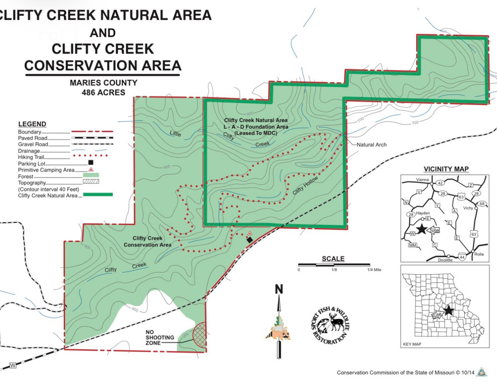
I learned later, after we were at the natural arch, that the location where the GPS took us is off the road to the right. It may not be as doable to hike in on the creek as I thought it might be. On the map you see where the loop begins after a short hike down the trail. We decided to go to the right because it was shorter. I saw on videos that some people choose to go to the left, which is longer. We ended up making the entire loop instead of coming back the way we went because the trail was so difficult. The trail was somewhat easier on the longer part, but then again we had some difficulties with it as well.
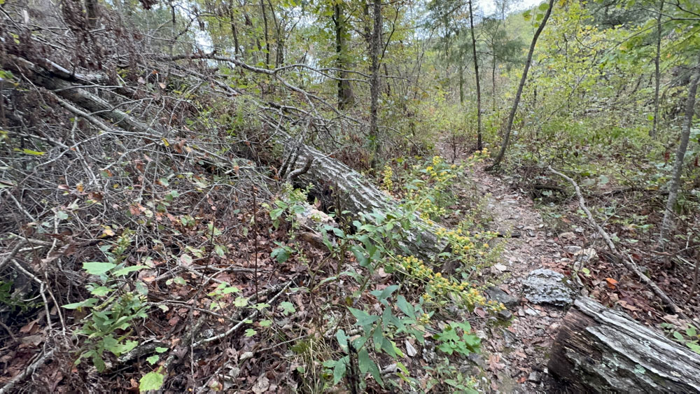
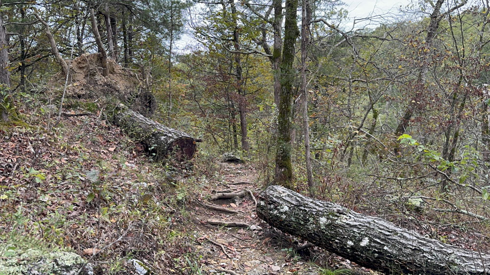
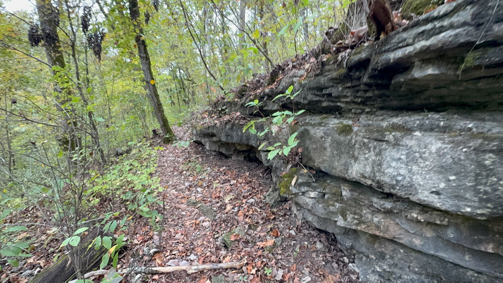
There were downed trees from a storm along the trail.
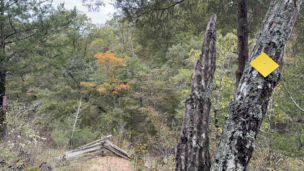
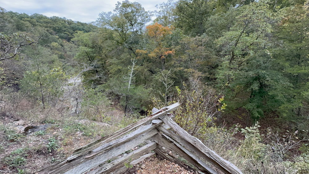
We reached this sharp u-turn with the wooden fence. It was an overlook to the creek, but the creek was dry.
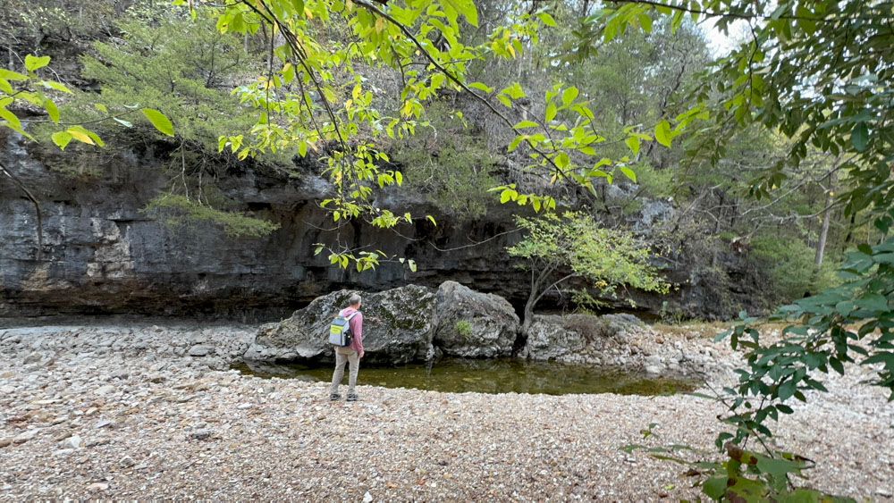
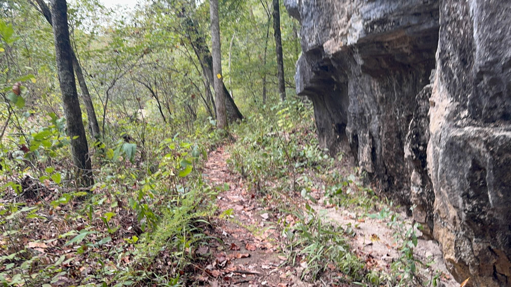
Once we got downward enough, we could walk out into the creek, but it was mostly dry. Hereafter the trail began to climb again, snaking back and forth on the rough rocky terrain. I have always called in snaking, but hubby called it a switch back.
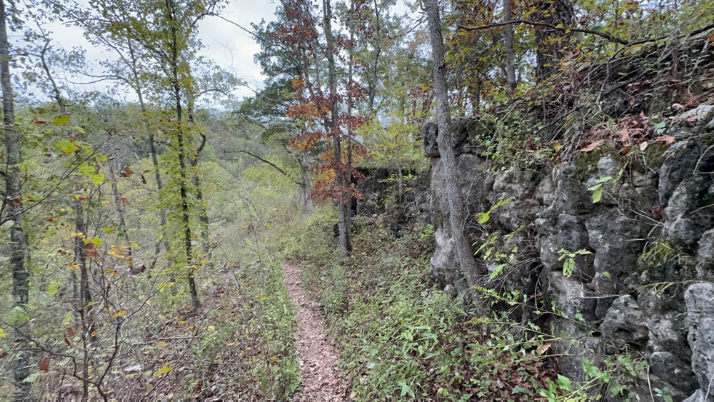
The trail was narrow and often it seemed we could drop right off the cliff.
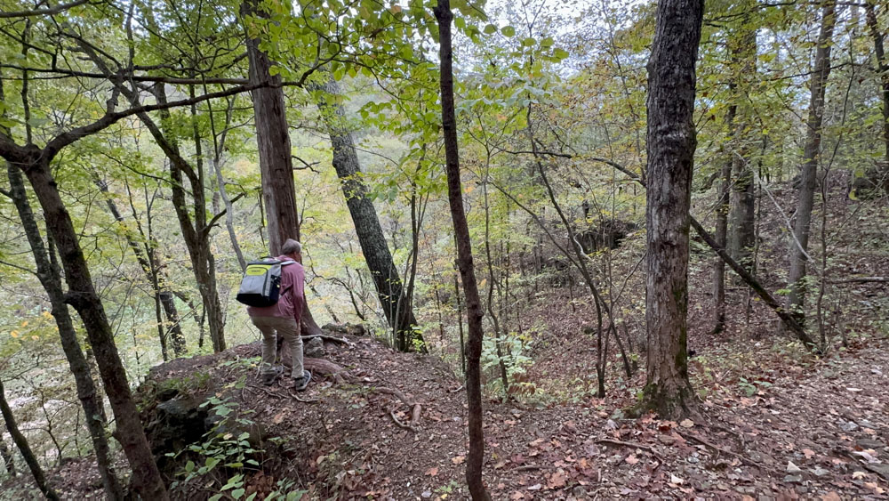
We found this overlook to look down at the creek from up high were we were on the trail.
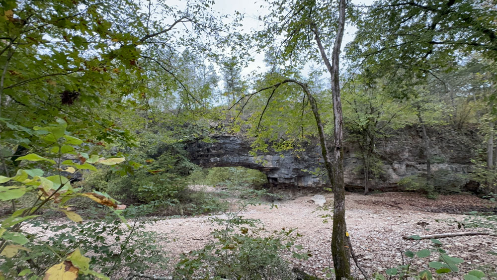
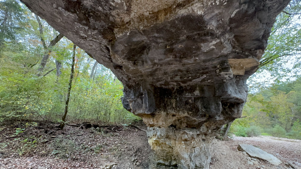
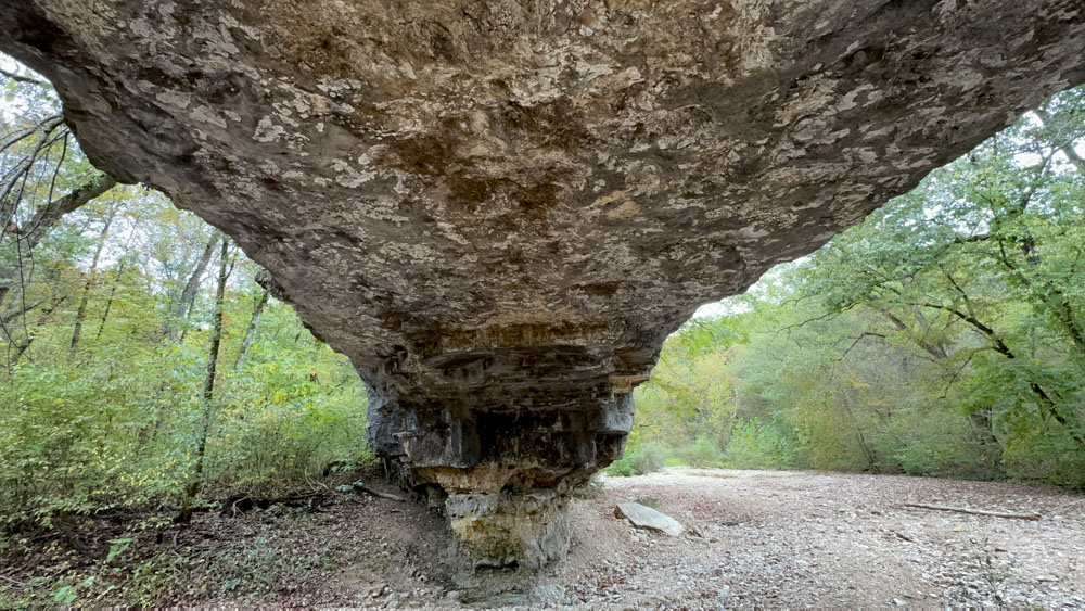
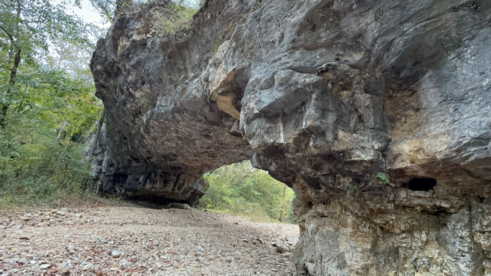
It seemed to take forever, but we finally made it to the natural bridge!
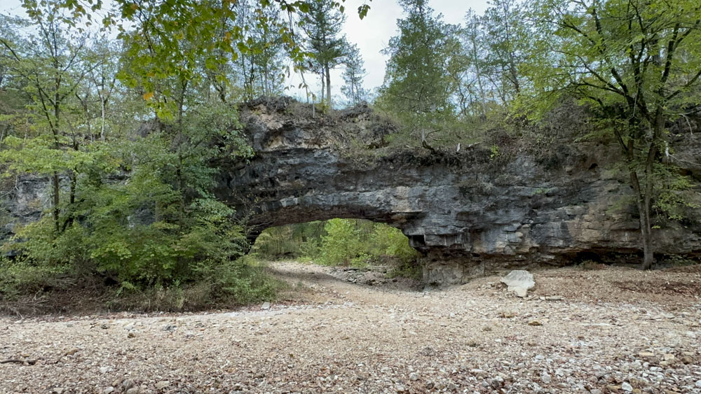
I have seen natural bridges before, but this one is rather large and stands out. I am not sure it was worth the hike for me as I have seen them before, but then again I did enjoy the adventure of seeing something new to me.
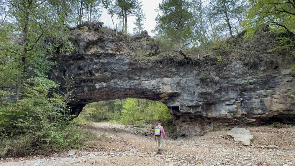
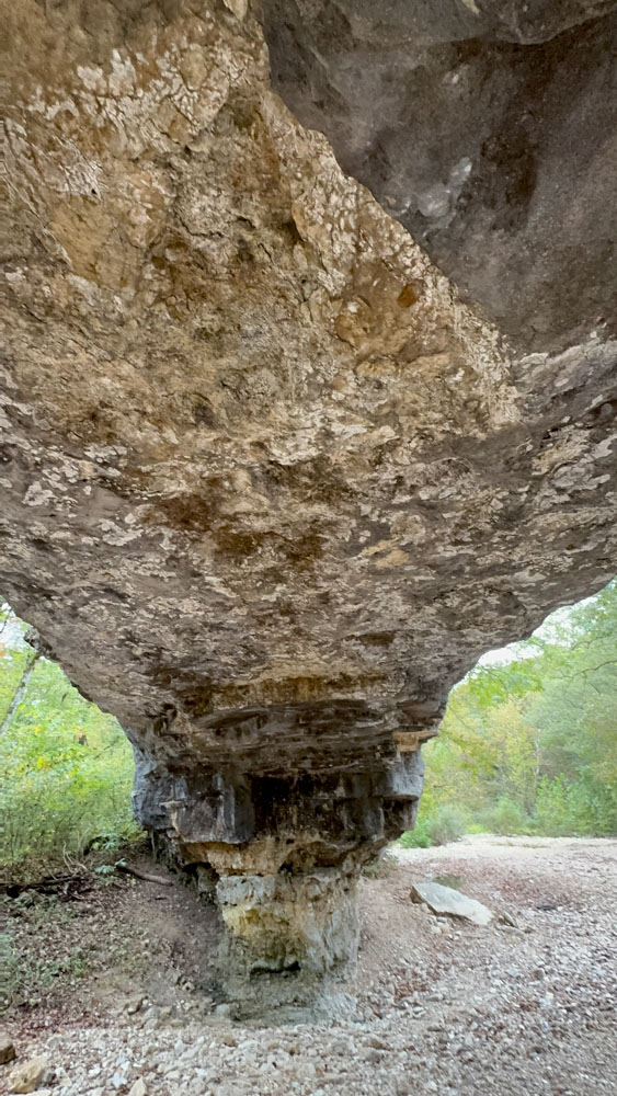
I had hubby walk under the natural bridge so I could get a photo op to show the perspective for size.
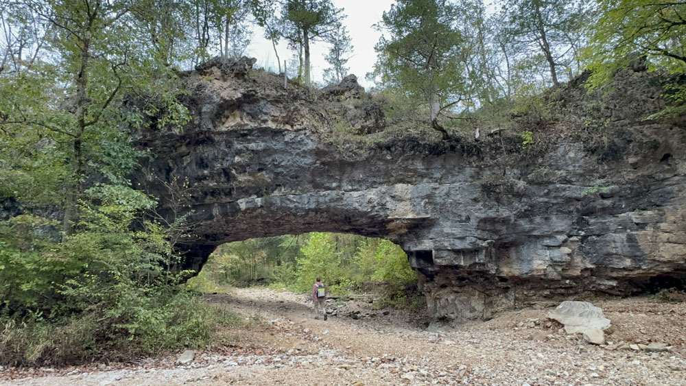
Then I took my turn under the natural bridge as my goal in 2025 to be in photos more.
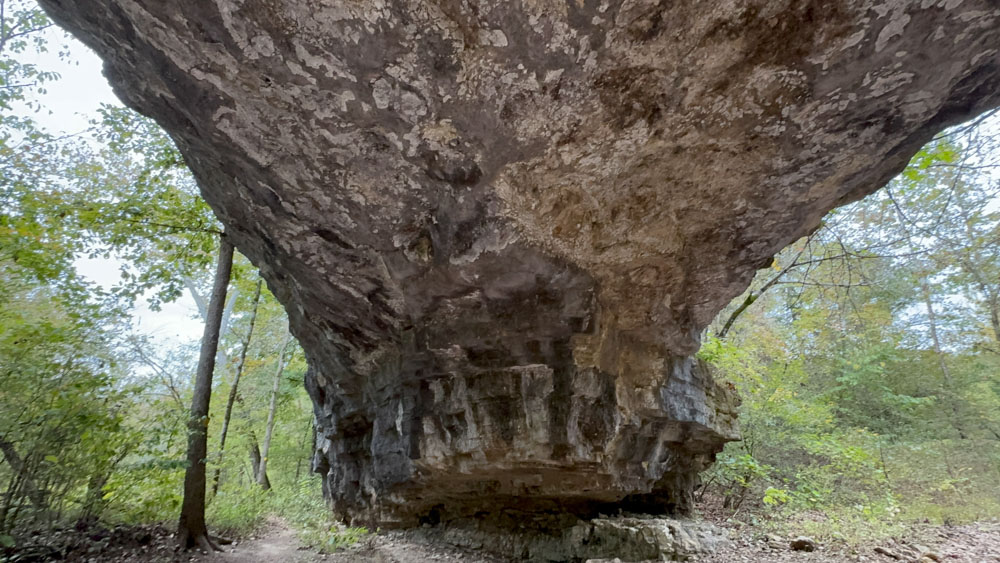
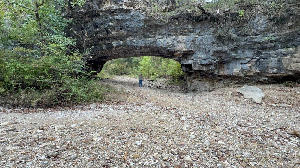
This is the view from underneath the natural bridge which shows just how large the formation.
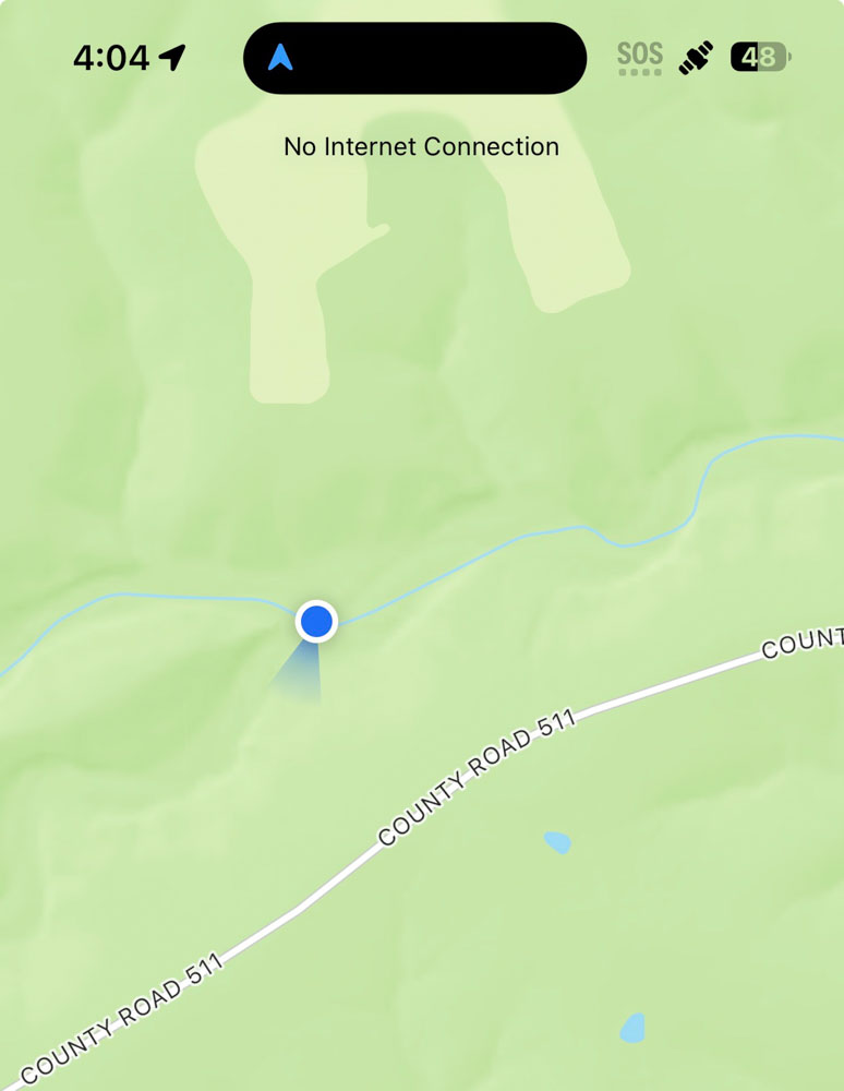
I looked at the app to see how close we were to County Road 511 because I thought about walking the creek to the county road and then back up the county road to the truck. It was fairly close, but the straight shot to the road was through brush, and the long shot down the creek was a greater distance, which I thought would make the whole trip even longer.
There was a perfect rock slab where we sat down and rested for a while with this view of the natural bridge.
After long discussions, we decided to continue on the loop rather than going back. We knew what it was like where we had come from, and we did not like it, so we took the risk to go the unknown.
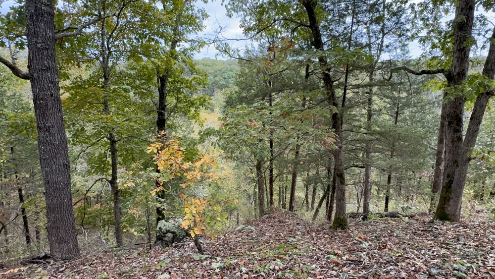
The trail at first meandered to a ridge line which we followed along. The creek was below but we could not really see it.
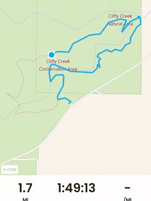
Eventually along the ridge line, which was easier to hike than the first section to the natural bridge, we reached the point where we were directly across from the path to the parking lot, but we were high up on the ridge, and there was no shortcut. I do not have any more photos, but we eventually reached the part of the trail where it crossed the Clifty Creek, and to our surprise, it was the only part of the creek with water in it! We would have gotten our feet wet for sure. So we trudged upstream through the brush to a spot where there was not water, making our own way through the trees, to cross the creek, and then come back to the trail on the other side.
The last stretch was too much for us. Our bodies were weary as we had already hiked at Painted Rock Conservation Area earlier in the day. Generally two miles is my limit, but I went about 4 1/2 to 5 miles this day. The trail was along a steep cliff and I kept loosing my balance and hubby kept grabbing my waist to steady me. We often held hands so we could balance each other and keep going at a better speed. One time hubby slipped one foot off the edge and I held his hand tight and kept him from falling off the edge!
We were SO glad to see the parking lot and the truck.