Rymers River Access
In 2018 we were adventuring and followed signs for Rymers River Access. It turned out to be a true adventure for sure! We never made it to the Jacks Fork River. We assumed we took the wrong road.
The website says "From the west boundary of the natural area it is about 1.6 miles east to the Rymers River Access (travel 6 miles east from Mountain View on Highway 60, turn left (north) on Highway M and proceed for 6 miles north along Highway M and gravel County Road M-471 to this access) which is the first take-out point on the Jacks Fork River downstream of the natural area."
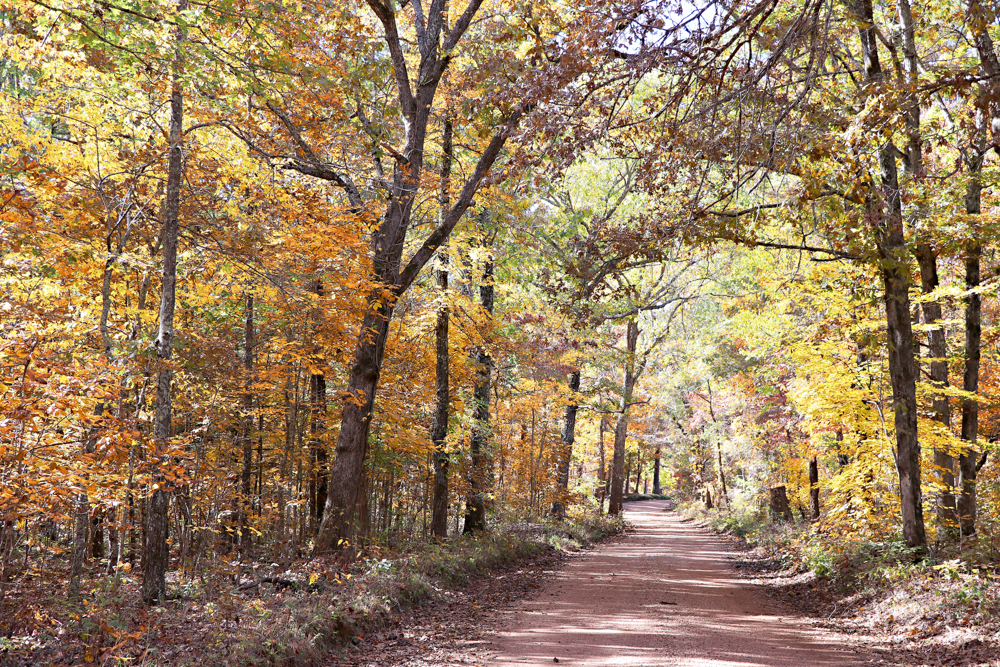
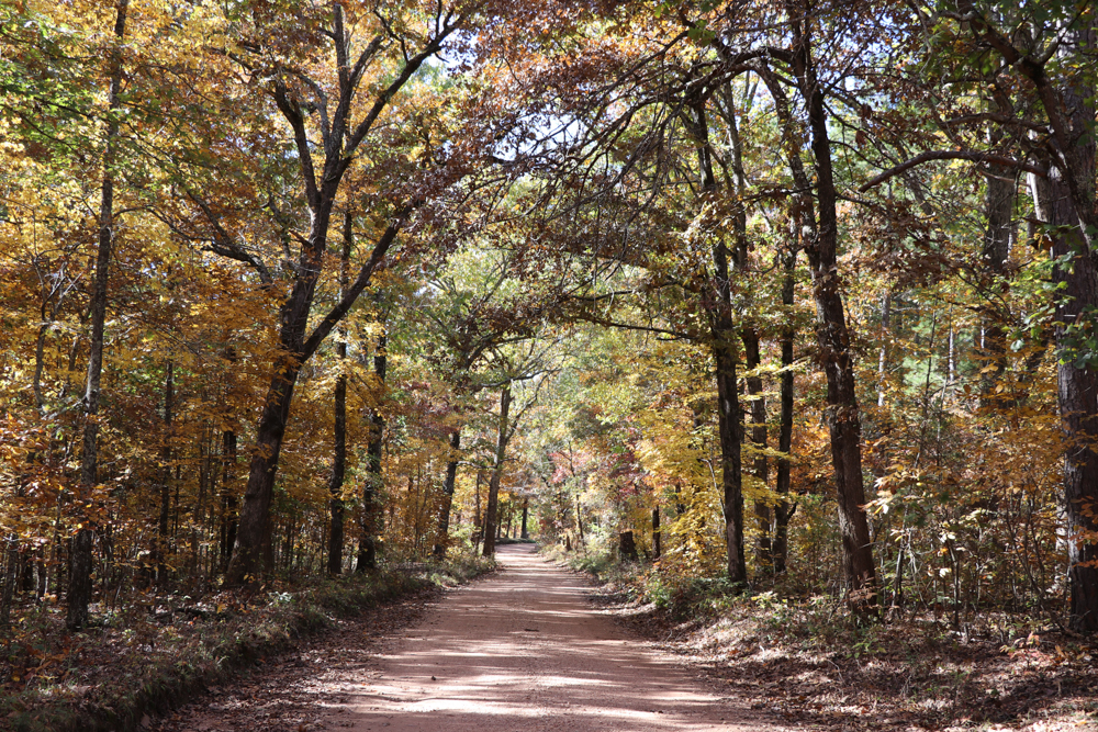
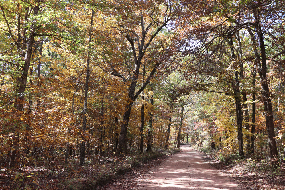
These are photos we took along Highway M, which was just beautiful, but then we got to a fork in the road and there was a hand made sign on someone's property indicating which way to go to the river. We drove down that road for quite a distance and it got narrower and narrower on an edge of a cliff! It was intimidating and scary. It seemed to just get narrower so we decided to turn around. We were in a small vehicle and I had to back up and go forward many times just to get perpendicular to the width of the road. The width of the road was as wide as the length of my vehicle! It was so scary being afraid we would fall off the edge of the cliff. Hubby had gotten out of the vehicle to help direct the turn around and said he almost stepped on a snake. I cannot tell you how thankful and relieved we were when we finally got turned around and drove up the hill to a wider part of the road. I could not get out of there fast enough. Probably never again will I try to go here unless it is by canoe. This is one we will never forget!
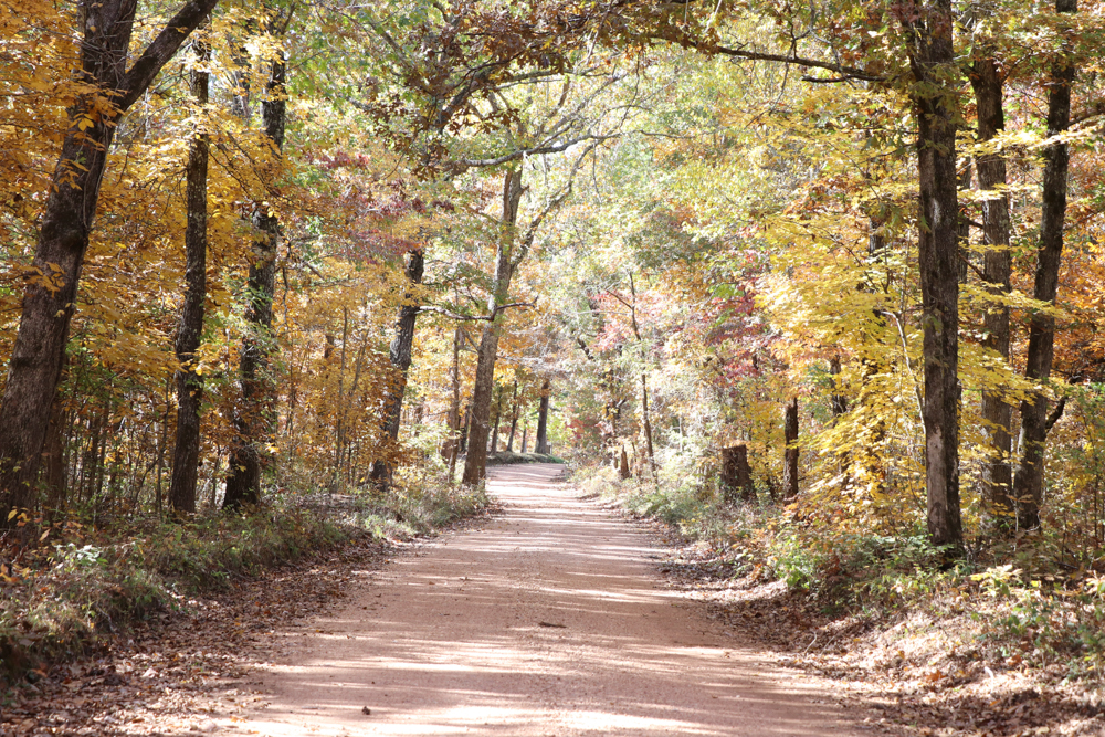
The Autumn road photos turned out amazing though!